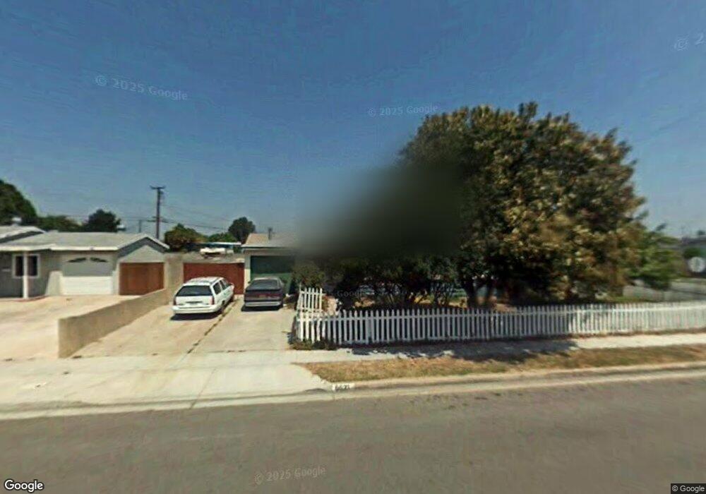
6621 Kiowa Rd Westminster, CA 92683
Estimated Value: $926,139 - $1,003,000
3
Beds
1
Bath
1,341
Sq Ft
$730/Sq Ft
Est. Value
About This Home
This home is located at 6621 Kiowa Rd, Westminster, CA 92683 and is currently estimated at $978,285, approximately $729 per square foot. 6621 Kiowa Rd is a home located in Orange County with nearby schools including Fryberger Elementary, Johnson Middle, and Westminster High School.
Ownership History
Date
Name
Owned For
Owner Type
Purchase Details
Closed on
Feb 16, 1994
Sold by
Vogl Michael A and Vogl Melissa A
Bought by
Martinez Gerald and Alexander Lani Page
Current Estimated Value
Home Financials for this Owner
Home Financials are based on the most recent Mortgage that was taken out on this home.
Original Mortgage
$154,912
Interest Rate
7.21%
Mortgage Type
FHA
Create a Home Valuation Report for This Property
The Home Valuation Report is an in-depth analysis detailing your home's value as well as a comparison with similar homes in the area
Home Values in the Area
Average Home Value in this Area
Purchase History
| Date | Buyer | Sale Price | Title Company |
|---|---|---|---|
| Martinez Gerald | $157,000 | North American Title |
Source: Public Records
Mortgage History
| Date | Status | Borrower | Loan Amount |
|---|---|---|---|
| Closed | Martinez Gerald | $154,912 |
Source: Public Records
Tax History
| Year | Tax Paid | Tax Assessment Tax Assessment Total Assessment is a certain percentage of the fair market value that is determined by local assessors to be the total taxable value of land and additions on the property. | Land | Improvement |
|---|---|---|---|---|
| 2025 | $3,604 | $266,835 | $165,412 | $101,423 |
| 2024 | $3,604 | $261,603 | $162,168 | $99,435 |
| 2023 | $3,483 | $256,474 | $158,988 | $97,486 |
| 2022 | $3,425 | $251,446 | $155,871 | $95,575 |
| 2021 | $3,336 | $246,516 | $152,815 | $93,701 |
| 2020 | $3,299 | $243,989 | $151,248 | $92,741 |
| 2019 | $3,266 | $239,205 | $148,282 | $90,923 |
| 2018 | $3,264 | $234,515 | $145,374 | $89,141 |
| 2017 | $3,152 | $229,917 | $142,523 | $87,394 |
| 2016 | $3,062 | $225,409 | $139,728 | $85,681 |
| 2015 | $3,013 | $222,024 | $137,630 | $84,394 |
| 2014 | $2,950 | $217,675 | $134,934 | $82,741 |
Source: Public Records
Map
Nearby Homes
- 13161 Summit Cir
- 6632 Trask Ave
- 6751 Klondike Ave
- 13036 Springarden Ln
- 6282 Cheyenne Dr
- 6889 Danvers Dr
- 6949 Danvers Dr
- 6848 Citriadora Ct
- 12552 Fieldstone Ln Unit 101
- 6971 Knollcrest Ln Unit 47
- 13352 Springdale St
- 6071 Modoc Rd
- 6091 Navajo Rd
- 6216 Hefley St Unit 3
- 6181 Lenore Ave
- 13942 Locust St
- 13822 Olive St
- 13202 Hoover St Unit 18
- 13202 Hoover St Unit 42
- 7700 Lampson Ave Unit 117
- 6611 Kiowa Rd
- 13181 Palomar St
- 6601 Kiowa Rd
- 6641 Kiowa Rd
- 13171 Palomar St
- 6622 Kiowa Rd
- 13192 La Pata St
- 6626 Kiowa Rd
- 13202 La Pata St
- 6612 Kiowa Rd
- 13182 La Pata St
- 6632 Kiowa Rd
- 6651 Kiowa Rd
- 13161 Palomar St
- 6602 Kiowa Rd
- 6581 Kiowa Rd
- 13162 Palomar St
- 13162 La Pata St
- 6642 Kiowa Rd
- 6592 Kiowa Rd
Your Personal Tour Guide
Ask me questions while you tour the home.