6625 Hofferber Rd Shepherd, MT 59079
Estimated Value: $473,953 - $486,000
3
Beds
2
Baths
1,884
Sq Ft
$254/Sq Ft
Est. Value
About This Home
This home is located at 6625 Hofferber Rd, Shepherd, MT 59079 and is currently estimated at $479,318, approximately $254 per square foot. 6625 Hofferber Rd is a home located in Yellowstone County with nearby schools including Shepherd Elementary School, Shepherd Middle School, and Shepherd High School.
Ownership History
Date
Name
Owned For
Owner Type
Purchase Details
Closed on
Jun 5, 2025
Sold by
Styren Robert E and Styren Alesia K
Bought by
Sorge Sidney
Current Estimated Value
Purchase Details
Closed on
Aug 4, 2011
Sold by
Schaff Chad C
Bought by
Sorge Sidney
Home Financials for this Owner
Home Financials are based on the most recent Mortgage that was taken out on this home.
Original Mortgage
$170,563
Interest Rate
4.46%
Mortgage Type
FHA
Create a Home Valuation Report for This Property
The Home Valuation Report is an in-depth analysis detailing your home's value as well as a comparison with similar homes in the area
Purchase History
| Date | Buyer | Sale Price | Title Company |
|---|---|---|---|
| Sorge Sidney | -- | None Listed On Document | |
| Sorge Sidney | -- | None Available |
Source: Public Records
Mortgage History
| Date | Status | Borrower | Loan Amount |
|---|---|---|---|
| Previous Owner | Sorge Sidney | $170,563 |
Source: Public Records
Tax History
| Year | Tax Paid | Tax Assessment Tax Assessment Total Assessment is a certain percentage of the fair market value that is determined by local assessors to be the total taxable value of land and additions on the property. | Land | Improvement |
|---|---|---|---|---|
| 2025 | $3,549 | $473,100 | $105,354 | $367,746 |
| 2024 | $3,549 | $395,100 | $78,733 | $316,367 |
| 2023 | $3,607 | $395,100 | $78,733 | $316,367 |
| 2022 | $3,075 | $327,000 | $0 | $0 |
| 2021 | $3,347 | $327,000 | $0 | $0 |
| 2020 | $2,791 | $259,112 | $0 | $0 |
| 2019 | $2,211 | $242,900 | $0 | $0 |
| 2018 | $2,031 | $207,300 | $0 | $0 |
| 2017 | $1,996 | $207,300 | $0 | $0 |
| 2016 | $1,839 | $203,600 | $0 | $0 |
| 2015 | $1,831 | $203,600 | $0 | $0 |
| 2014 | $1,620 | $95,930 | $0 | $0 |
Source: Public Records
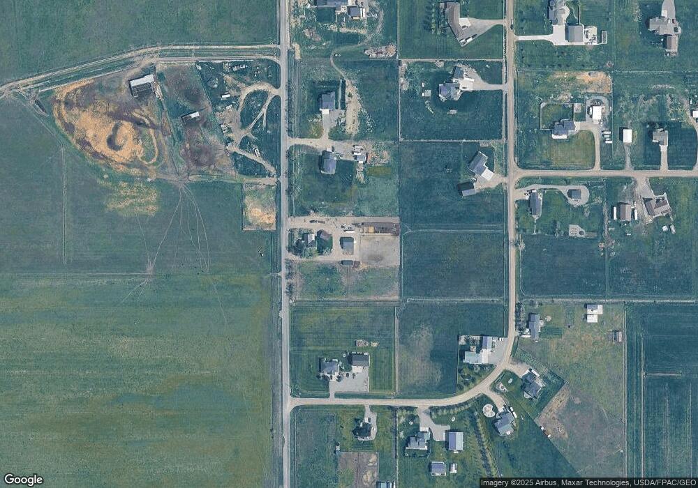
Map
Nearby Homes
- 5430 Cerkoney Ln
- 0 Shepherd Road Lot Shepherd Rd
- 0 SHepherd Road lot Shepherd Rd
- 6447 US Highway 312
- 7106 Lance St
- 6634 Killdeer Ln
- L5B4 Trumbo Cir
- 7306 Kendra Lynn Dr
- L3B4 Trumbo Cir
- L11B3 High Noon Dr
- L13B2 High Noon Dr
- L12B3 Molly Dr
- L4B4 Trumbo Cir
- L2B4 True Grit St
- L11B2 Rio Lobo Cir
- L12B2 High Noon Dr
- L13B3 Molly Dr
- L10B3 High Noon Dr
- L1B4 True Grit St
- L15B3 True Grit St
- 6685 Hofferber Rd
- 6701 Hofferber Rd
- 6715 Hofferber Rd
- 4945 Maribrooke Rd
- 4815 Maribrooke Rd
- 6727 Hofferber Rd
- 4835 Maribrooke Rd
- 5015 Maribrooke Rd
- 4910 Maribrooke Rd
- 4860 Maribrooke Rd
- 4830 Maribrooke Rd
- 4850 Maribrooke Rd
- 4820 John Hogan Trail
- 5035 Maribrooke Rd
- 0 Lewies Way
- 5010 Lewies Way
- 5030 Maribrooke Rd
- 4840 Maribrooke Rd Unit 19
- 4815 John Hogan Trail
- 4845 Homer Davis Rd
Your Personal Tour Guide
Ask me questions while you tour the home.