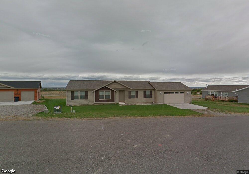
6627 Nathan Ave Huntley, MT 59037
Estimated Value: $358,592 - $384,000
3
Beds
2
Baths
1,504
Sq Ft
$247/Sq Ft
Est. Value
About This Home
This home is located at 6627 Nathan Ave, Huntley, MT 59037 and is currently estimated at $371,148, approximately $246 per square foot. 6627 Nathan Ave is a home with nearby schools including Huntley Project Elementary School, Huntley Project Junior High School, and Huntley Project High School.
Ownership History
Date
Name
Owned For
Owner Type
Purchase Details
Closed on
Oct 13, 2017
Sold by
Payovich Chere D
Bought by
Anderson Douglas and Anderson Shirley
Current Estimated Value
Purchase Details
Closed on
Jul 25, 2013
Sold by
Roberson Jeffery
Bought by
Payovich Chere D
Home Financials for this Owner
Home Financials are based on the most recent Mortgage that was taken out on this home.
Original Mortgage
$169,642
Interest Rate
3.98%
Mortgage Type
New Conventional
Purchase Details
Closed on
Jun 27, 2012
Sold by
Williams Ronald L
Bought by
Roberson Jeffery
Home Financials for this Owner
Home Financials are based on the most recent Mortgage that was taken out on this home.
Original Mortgage
$33,500
Interest Rate
3.74%
Mortgage Type
Unknown
Purchase Details
Closed on
Feb 28, 2012
Sold by
Darrah Corporation Inc
Bought by
Williams Ronald L
Create a Home Valuation Report for This Property
The Home Valuation Report is an in-depth analysis detailing your home's value as well as a comparison with similar homes in the area
Purchase History
| Date | Buyer | Sale Price | Title Company |
|---|---|---|---|
| Anderson Douglas | -- | First Montana Title | |
| Anderson Douglas | -- | First Montana Title | |
| Payovich Chere D | -- | Chicago Title | |
| Roberson Jeffery | -- | None Available | |
| Williams Ronald L | -- | None Available |
Source: Public Records
Mortgage History
| Date | Status | Borrower | Loan Amount |
|---|---|---|---|
| Previous Owner | Payovich Chere D | $169,642 | |
| Previous Owner | Roberson Jeffery | $33,500 |
Source: Public Records
Tax History
| Year | Tax Paid | Tax Assessment Tax Assessment Total Assessment is a certain percentage of the fair market value that is determined by local assessors to be the total taxable value of land and additions on the property. | Land | Improvement |
|---|---|---|---|---|
| 2025 | $476 | $329,300 | $52,398 | $276,902 |
| 2024 | $476 | $289,600 | $54,411 | $235,189 |
| 2023 | $2,102 | $289,600 | $54,411 | $235,189 |
| 2022 | $1,860 | $229,200 | $0 | $0 |
| 2021 | $1,812 | $229,200 | $0 | $0 |
| 2020 | $1,691 | $210,300 | $0 | $0 |
| 2019 | $1,647 | $210,300 | $0 | $0 |
| 2018 | $1,666 | $199,600 | $0 | $0 |
| 2017 | $1,568 | $199,600 | $0 | $0 |
| 2016 | $1,350 | $189,700 | $0 | $0 |
| 2015 | $1,459 | $189,700 | $0 | $0 |
| 2014 | $1,326 | $91,584 | $0 | $0 |
Source: Public Records
Map
Nearby Homes
- 1191 Chipper Ln
- 1246 Chipper Ln
- 1251 Chipper Ln
- 1266 Chipper Ln
- 0000 Florian Ave
- 2415 Rocky Cliff Trail
- 5570 Yellowstone Trail
- 581 Squaw Creek Rd
- 6447 US Highway 312
- 5040 Old Hardin Rd
- 4511 Pine Hills Rd
- 4142 McGirl Rd
- 0 SHepherd Road lot Shepherd Rd
- 0 Shepherd Road Lot Shepherd Rd
- 1226 Starview Ln
- 4828 Eco Built Way
- 325 Three Wolf Rd
- 4740 Cave Rd
- 5430 Cerkoney Ln
- 4741 Box Canyon Rd
- LOT 1 Nathan Ave
- 1 Nathan Ave
- 6635 Nathan Ave
- 6619 Nathan Ave
- 3691 Gabriel Dr
- 3691 Gabriel Dr
- 3688 Gabriel Dr
- 3692 Darrah Dr
- 3715 Darrah Dr
- 3701 Darrah Dr
- 3675 Gabriel Dr
- 7 Darrah Dr
- 3672 Gabriel Dr
- 3678 Darrah Dr
- 3699 Darrah Dr
- 3663 Gabriel Dr
- 3660 Gabriel Dr
- LOT 8 Gabriel Dr
- 3685 Darrah Dr
- 3664 Darrah Dr
Your Personal Tour Guide
Ask me questions while you tour the home.