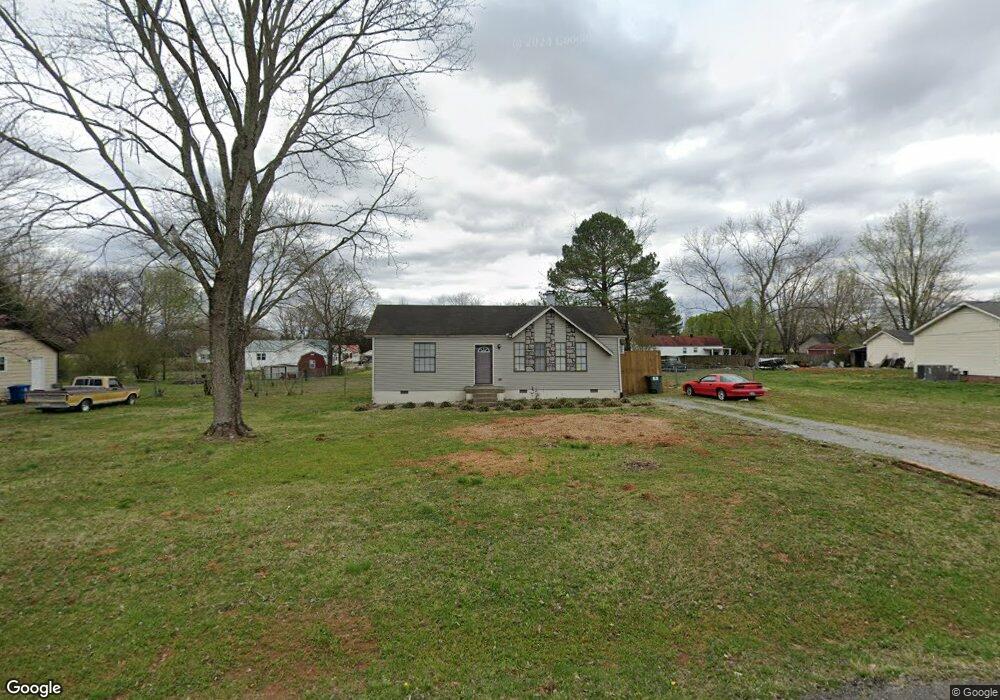
6628 Kari Dr Murfreesboro, TN 37129
Estimated Value: $232,525 - $310,000
--
Bed
1
Bath
1,008
Sq Ft
$278/Sq Ft
Est. Value
About This Home
This home is located at 6628 Kari Dr, Murfreesboro, TN 37129 and is currently estimated at $280,381, approximately $278 per square foot. 6628 Kari Dr is a home located in Rutherford County with nearby schools including Stewartsboro Elementary School, Rocky Fork Middle School, and Smyrna High School.
Ownership History
Date
Name
Owned For
Owner Type
Purchase Details
Closed on
Nov 6, 1998
Sold by
Clardy Barry E
Bought by
Phillips Martha D
Current Estimated Value
Home Financials for this Owner
Home Financials are based on the most recent Mortgage that was taken out on this home.
Original Mortgage
$67,945
Outstanding Balance
$14,818
Interest Rate
6.58%
Mortgage Type
Purchase Money Mortgage
Estimated Equity
$265,563
Create a Home Valuation Report for This Property
The Home Valuation Report is an in-depth analysis detailing your home's value as well as a comparison with similar homes in the area
Home Values in the Area
Average Home Value in this Area
Purchase History
| Date | Buyer | Sale Price | Title Company |
|---|---|---|---|
| Phillips Martha D | $68,000 | -- |
Source: Public Records
Mortgage History
| Date | Status | Borrower | Loan Amount |
|---|---|---|---|
| Open | Phillips Martha D | $67,945 |
Source: Public Records
Tax History Compared to Growth
Tax History
| Year | Tax Paid | Tax Assessment Tax Assessment Total Assessment is a certain percentage of the fair market value that is determined by local assessors to be the total taxable value of land and additions on the property. | Land | Improvement |
|---|---|---|---|---|
| 2025 | $841 | $44,850 | $13,750 | $31,100 |
| 2024 | $841 | $44,850 | $13,750 | $31,100 |
| 2023 | $841 | $44,850 | $13,750 | $31,100 |
| 2022 | $725 | $44,850 | $13,750 | $31,100 |
| 2021 | $666 | $30,025 | $7,000 | $23,025 |
| 2020 | $666 | $30,025 | $7,000 | $23,025 |
| 2019 | $666 | $30,025 | $7,000 | $23,025 |
| 2018 | $630 | $30,025 | $0 | $0 |
| 2017 | $529 | $19,725 | $0 | $0 |
| 2016 | $529 | $19,725 | $0 | $0 |
| 2015 | $529 | $19,725 | $0 | $0 |
| 2014 | $491 | $19,725 | $0 | $0 |
| 2013 | -- | $17,225 | $0 | $0 |
Source: Public Records
Map
Nearby Homes
- 6612 Scenic Dr
- 4529 Baywood Ave
- 8607 Hooper St
- 5423 Colonial Cir
- 9238 Burleson Ln
- 8815 West St
- 611 Cheyenne Ct
- 6903 Cooks Ave
- 801 Becham Kenneth Cir
- 4436 Alpine Way
- 4408 Alpine Way
- 8932 Burleson Ln Unit 8934
- 5311 Florence Rd
- 1239 Rimrock Rd
- 7121 Corner Dr
- 1142 Remuda Cir
- 7127 Corner Dr
- 7523 Chapin Dr
- 8902 Burleson Ln
- 1214 Emmie Reece Dr