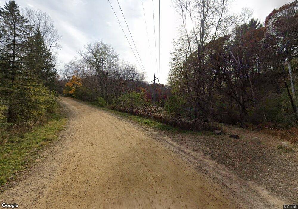
663 Old Highway 35 S Hudson, WI 54016
Estimated Value: $546,000 - $615,000
4
Beds
2
Baths
--
Sq Ft
4.04
Acres
About This Home
This home is located at 663 Old Highway 35 S, Hudson, WI 54016 and is currently estimated at $582,475. 663 Old Highway 35 S is a home located in St. Croix County with nearby schools including River Crest Elementary School, Hudson Middle School, and Hudson High School.
Ownership History
Date
Name
Owned For
Owner Type
Purchase Details
Closed on
Dec 13, 2018
Sold by
Reiter Vincent J and Reiter Teri L
Bought by
Cunninghaam Carl B and Radke Nanci A
Current Estimated Value
Home Financials for this Owner
Home Financials are based on the most recent Mortgage that was taken out on this home.
Original Mortgage
$311,200
Outstanding Balance
$274,174
Interest Rate
4.8%
Mortgage Type
New Conventional
Estimated Equity
$308,301
Create a Home Valuation Report for This Property
The Home Valuation Report is an in-depth analysis detailing your home's value as well as a comparison with similar homes in the area
Home Values in the Area
Average Home Value in this Area
Purchase History
| Date | Buyer | Sale Price | Title Company |
|---|---|---|---|
| Cunninghaam Carl B | $389,000 | None Available |
Source: Public Records
Mortgage History
| Date | Status | Borrower | Loan Amount |
|---|---|---|---|
| Open | Cunninghaam Carl B | $311,200 |
Source: Public Records
Tax History Compared to Growth
Tax History
| Year | Tax Paid | Tax Assessment Tax Assessment Total Assessment is a certain percentage of the fair market value that is determined by local assessors to be the total taxable value of land and additions on the property. | Land | Improvement |
|---|---|---|---|---|
| 2024 | $50 | $497,100 | $138,400 | $358,700 |
| 2023 | $4,788 | $497,100 | $138,400 | $358,700 |
| 2022 | $4,612 | $339,400 | $100,300 | $239,100 |
| 2021 | $4,549 | $339,400 | $100,300 | $239,100 |
| 2020 | $4,421 | $339,400 | $100,300 | $239,100 |
| 2019 | $3,589 | $339,400 | $100,300 | $239,100 |
| 2018 | $3,871 | $288,500 | $100,300 | $188,200 |
| 2017 | $3,572 | $225,600 | $52,100 | $173,500 |
| 2016 | $3,572 | $225,600 | $52,100 | $173,500 |
| 2015 | $3,231 | $225,600 | $52,100 | $173,500 |
| 2014 | $3,041 | $225,600 | $52,100 | $173,500 |
| 2013 | $3,120 | $225,600 | $52,100 | $173,500 |
Source: Public Records
Map
Nearby Homes
- 665 Darnold Dr
- 671 Darnold Dr
- 81 Bridgewater Trail
- 50 Robin Ln
- 106 Bridgewater Trail
- 158 Bridgewater Trail
- 54 Tribute Ave
- 42 Stone Harbor Place
- 117 Heirloom Ave
- 53 E Canyon Dr
- 81 Lockwood Ct
- 118 Quail Cir
- 753 Aldro Rd
- 217 W Canyon Dr
- 251 W Canyon Dr
- 261 W Canyon Dr
- 464 Stageline Rd
- 489 Canyon Blvd
- xxx Crosby Dr
- 786 Harlar Cir
- 651 Old Highway 35 S
- 659 Bradhurst Rd
- 652 Bradhurst Rd
- 655 Bradhurst Rd
- 664 Bradhurst Rd
- 650 Old Highway 35
- xxx Stageline Rd
- 648 Old Highway 35 S
- 665 Darnold Dr Dr
- 552 Cty Rd N--
- 564 County Road N
- 671 Bradhurst Rd
- 672 Bradhurst Rd
- 520 Stageline Rd
- 671 Darnold Dr Dr
- 641 Pine Tree Rd
- 583 County Road N
- 639 Pine Tree Rd
- 579 County Road N
- 635 Pine Tree Rd
