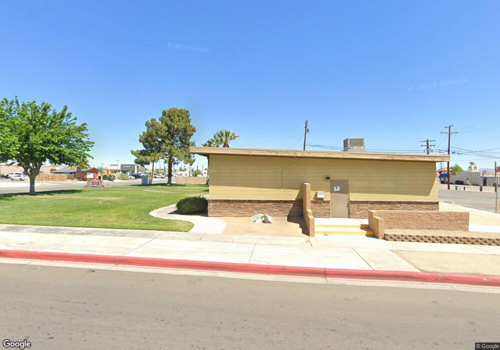
6630 Parcel 2 of Parcel Map No 6630 Twentynine Palms, CA 92277
--
Bed
--
Bath
--
Sq Ft
40
Acres
About This Home
This home is located at 6630 Parcel 2 of Parcel Map No 6630, Twentynine Palms, CA 92277. 6630 Parcel 2 of Parcel Map No 6630 is a home located in San Bernardino County with nearby schools including Twentynine Palms Elementary School, Twentynine Palms Junior High School, and Twentynine Palms High School.
Create a Home Valuation Report for This Property
The Home Valuation Report is an in-depth analysis detailing your home's value as well as a comparison with similar homes in the area
Home Values in the Area
Average Home Value in this Area
Tax History Compared to Growth
Map
Nearby Homes
- 73853 Playa Vista Dr
- 73843 White Sands Dr
- 73883 Playa Vista Dr
- 73940 Desert Dunes Dr
- 73971 Samarkand Dr
- 73736 Homestead Dr
- 0 Ocotillo Ave Unit 24-466483
- 0 Samarkand Dr Unit 219118977DA
- 0 Palo Verde Ave Unit 25560053
- 73752 Crestview Dr
- 5770 Adobe Rd
- 109 Aztec Ave
- 4973 Adobe Rd
- 73562 Desert Trail Dr
- 73514 Desert Trail Dr
- 73807 Sunnyslope Dr
- 73459 2 Mile Rd
- 5172 Verenda Ave
- 5778 Bagley Ave
- 5827 Bagley Ave
- 72753 2 Mile Apn: 0623-121-13
- 6280612 Schoder Rd
- 62718123 Amboy Rd Between Parker Rd & M
- 73848 Playa Vista Dr
- 73866 Playa Vista Dr
- 73837 Playa Vista Dr
- 73871 Playa Vista Dr
- 73834 Playa Vista Dr
- 73880 Playa Vista Dr
- 73850 Siesta Dr
- 73855 White Sands Dr
- 73877 White Sands Dr
- 73830 Siesta Dr
- 73815 Playa Vista Dr
- 73816 Playa Vista Dr
- 73894 Playa Vista Dr
- 73833 White Sands Dr
- 18 White Sands Dr
- 203 White Sands Dr
- 4366 White Sands Dr
