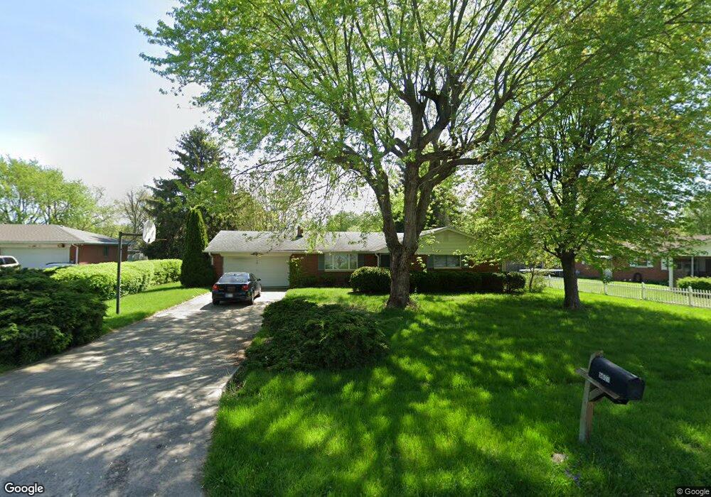
6633 Brill Rd Indianapolis, IN 46227
Linden Wood NeighborhoodEstimated Value: $224,000 - $260,000
3
Beds
2
Baths
1,302
Sq Ft
$186/Sq Ft
Est. Value
About This Home
This home is located at 6633 Brill Rd, Indianapolis, IN 46227 and is currently estimated at $241,571, approximately $185 per square foot. 6633 Brill Rd is a home located in Marion County with nearby schools including William Henry Burkhart Elementary School, Perry Meridian 6th Grade Academy, and Perry Meridian Middle School.
Ownership History
Date
Name
Owned For
Owner Type
Purchase Details
Closed on
May 29, 2018
Sold by
Lawngsang Moses Tluang Hlun Thang
Bought by
Lawngsang Moses Tluang Hlun Thang
Current Estimated Value
Purchase Details
Closed on
Aug 4, 2015
Sold by
Lewis Floyd and Lewis Betty Ann
Bought by
Ceu Tluang
Home Financials for this Owner
Home Financials are based on the most recent Mortgage that was taken out on this home.
Original Mortgage
$104,900
Outstanding Balance
$81,139
Interest Rate
4.03%
Mortgage Type
New Conventional
Estimated Equity
$160,432
Create a Home Valuation Report for This Property
The Home Valuation Report is an in-depth analysis detailing your home's value as well as a comparison with similar homes in the area
Home Values in the Area
Average Home Value in this Area
Purchase History
| Date | Buyer | Sale Price | Title Company |
|---|---|---|---|
| Lawngsang Moses Tluang Hlun Thang | -- | None Available | |
| Ceu Tluang | -- | Chicago Title Company Llc |
Source: Public Records
Mortgage History
| Date | Status | Borrower | Loan Amount |
|---|---|---|---|
| Open | Ceu Tluang | $104,900 |
Source: Public Records
Tax History
| Year | Tax Paid | Tax Assessment Tax Assessment Total Assessment is a certain percentage of the fair market value that is determined by local assessors to be the total taxable value of land and additions on the property. | Land | Improvement |
|---|---|---|---|---|
| 2025 | $4,890 | $195,500 | $31,800 | $163,700 |
| 2024 | $4,699 | $192,100 | $31,800 | $160,300 |
| 2023 | $4,699 | $180,600 | $31,800 | $148,800 |
| 2022 | $4,301 | $164,100 | $31,800 | $132,300 |
| 2021 | $3,890 | $146,000 | $31,800 | $114,200 |
| 2020 | $3,297 | $122,500 | $31,800 | $90,700 |
| 2019 | $3,338 | $123,400 | $19,100 | $104,300 |
| 2018 | $1,377 | $109,800 | $19,100 | $90,700 |
| 2017 | $1,420 | $112,300 | $19,100 | $93,200 |
| 2016 | $1,378 | $109,300 | $19,100 | $90,200 |
| 2014 | $1,064 | $122,100 | $19,100 | $103,000 |
| 2013 | $1,142 | $122,100 | $19,100 | $103,000 |
Source: Public Records
Map
Nearby Homes
- 6819 Brill Rd
- 347 Tulip Dr
- 6904 S New Jersey St
- 65 E Tulip Dr
- 6643 S New Jersey St
- 410 E Southport Rd
- 6520 Forrest Commons Blvd
- 142 E Banta Rd
- 20 Forrests Edge Ct
- 135 W Loretta Dr
- 237 E Waterbury Rd
- 150 E Beechwood Ln
- 7017 Chimney Rock Ct
- 7305 S East St
- 6707 Ventnor Ln
- 7445 Melanie Ln
- 156 Griffin Rd
- 418 E Beechwood Ln
- 6940 Olive St
- 6630 S Meridian St
Your Personal Tour Guide
Ask me questions while you tour the home.