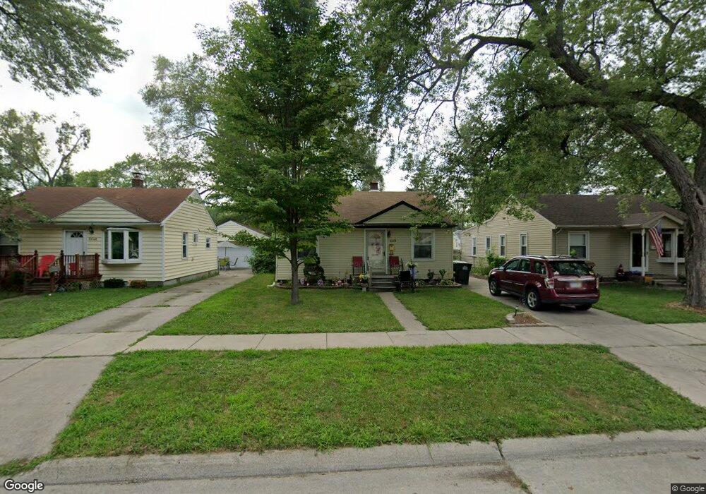
6638 Harding St Taylor, MI 48180
Estimated Value: $120,408 - $142,000
2
Beds
1
Bath
728
Sq Ft
$182/Sq Ft
Est. Value
About This Home
This home is located at 6638 Harding St, Taylor, MI 48180 and is currently estimated at $132,602, approximately $182 per square foot. 6638 Harding St is a home located in Wayne County with nearby schools including Taylor Parks Elementary School and Robert J. West Middle School.
Ownership History
Date
Name
Owned For
Owner Type
Purchase Details
Closed on
Sep 9, 2022
Sold by
Razo Michael
Bought by
Razo Michael and Razo Michelle
Current Estimated Value
Purchase Details
Closed on
Apr 3, 2014
Sold by
Razo Michael
Bought by
Razo Michael and Razo Trevor
Purchase Details
Closed on
Apr 1, 2011
Sold by
Secretary Of Housing & Urban Development
Bought by
Razo Michael
Purchase Details
Closed on
Aug 12, 2010
Sold by
Pnc Bank National Association
Bought by
The Secretary Of Housing & Urban Develop
Purchase Details
Closed on
Feb 3, 2010
Sold by
Smith Joseph M and Welch Misty C
Bought by
Pnc Bank National Association
Purchase Details
Closed on
Nov 27, 2002
Sold by
Hebert Tammy
Bought by
Smith Joseph
Create a Home Valuation Report for This Property
The Home Valuation Report is an in-depth analysis detailing your home's value as well as a comparison with similar homes in the area
Home Values in the Area
Average Home Value in this Area
Purchase History
| Date | Buyer | Sale Price | Title Company |
|---|---|---|---|
| Razo Michael | -- | -- | |
| Razo Michael | -- | None Available | |
| Razo Michael | $11,401 | None Available | |
| The Secretary Of Housing & Urban Develop | -- | None Available | |
| Pnc Bank National Association | $82,976 | None Available | |
| Smith Joseph | $84,000 | Professional Real Estate Tit |
Source: Public Records
Tax History Compared to Growth
Tax History
| Year | Tax Paid | Tax Assessment Tax Assessment Total Assessment is a certain percentage of the fair market value that is determined by local assessors to be the total taxable value of land and additions on the property. | Land | Improvement |
|---|---|---|---|---|
| 2025 | $1,034 | $53,400 | $0 | $0 |
| 2024 | $1,034 | $47,000 | $0 | $0 |
| 2023 | $1,241 | $39,600 | $0 | $0 |
| 2022 | $986 | $34,600 | $0 | $0 |
| 2021 | $1,091 | $32,500 | $0 | $0 |
| 2020 | $1,695 | $27,800 | $0 | $0 |
| 2019 | $172,017 | $23,900 | $0 | $0 |
| 2018 | $847 | $20,000 | $0 | $0 |
| 2017 | $1,719 | $19,700 | $0 | $0 |
| 2016 | $1,708 | $19,100 | $0 | $0 |
| 2015 | $1,991 | $20,000 | $0 | $0 |
| 2013 | $1,980 | $20,600 | $0 | $0 |
| 2012 | $1,228 | $19,700 | $6,700 | $13,000 |
Source: Public Records
Map
Nearby Homes
- 6485 Huron St
- 7267 William St
- 6640 Jackson St
- 7564 Clippert St
- 7584 William St
- 7580 Mayfair St
- 6056 Clippert St
- 22028 Guidot St
- 7847 William St
- 5873 Merrick St
- 7866 Katherine St
- 5869 Hipp St
- 19249 Pinecrest Dr
- 5939 Mayfair St
- 7713 Jackson St
- 5977 Weddel St
- 20742 Champaign St
- 7854 Jackson St
- 6568 Balfour Ave
- 6365 Buckingham Ave
- 6630 Harding St
- 6646 Harding St
- 6622 Harding St
- 6639 Mortenview Dr
- 6647 Mortenview Dr
- 6662 Harding St
- 6631 Mortenview Dr
- Mortenview Dr
- 6623 Mortenview Dr
- 6639 Harding St
- 6631 Harding St
- 6663 Mortenview Dr
- 6623 Harding St
- 6647 Harding St
- 6671 Mortenview Dr Unit Bldg-Unit
- 6671 Mortenview Dr
- 6681 Mortenview Dr
- 21022 Pinecrest St
- 21030 Pinecrest St
- 20948 Pinecrest St