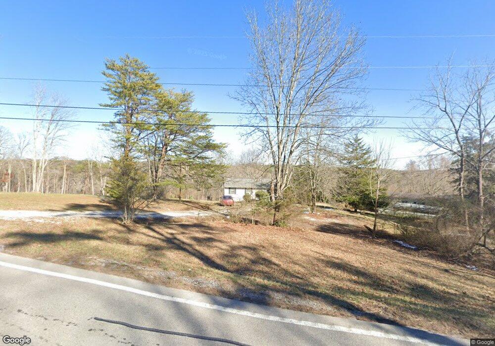
6639 Highway 27 Chattanooga, TN 37405
Estimated Value: $247,136 - $336,000
--
Bed
1
Bath
1,040
Sq Ft
$282/Sq Ft
Est. Value
About This Home
This home is located at 6639 Highway 27, Chattanooga, TN 37405 and is currently estimated at $293,034, approximately $281 per square foot. 6639 Highway 27 is a home located in Marion County with nearby schools including Jasper Elementary School, South Pittsburg Elementary School, and Monteagle Elementary School.
Ownership History
Date
Name
Owned For
Owner Type
Purchase Details
Closed on
Oct 28, 2021
Sold by
Cookston Anthony
Bought by
Pedigo Troy
Current Estimated Value
Purchase Details
Closed on
Oct 28, 2009
Sold by
Godsey Karen D
Bought by
Cookston Anthony
Purchase Details
Closed on
Oct 21, 2008
Sold by
Cookston Dorothy Vaughn
Bought by
Godsey Karen D
Purchase Details
Closed on
Apr 26, 2006
Sold by
Vi Smith Chasity Parson Et
Bought by
Wayne Roden Jerry
Purchase Details
Closed on
Nov 21, 2003
Sold by
Parson Walter B
Bought by
Chasity Parson
Purchase Details
Closed on
Apr 3, 2000
Sold by
Cookston Carl G
Bought by
Parson Walter B
Create a Home Valuation Report for This Property
The Home Valuation Report is an in-depth analysis detailing your home's value as well as a comparison with similar homes in the area
Home Values in the Area
Average Home Value in this Area
Purchase History
| Date | Buyer | Sale Price | Title Company |
|---|---|---|---|
| Pedigo Troy | -- | None Available | |
| Cookston Anthony | -- | -- | |
| Godsey Karen D | $94,739 | -- | |
| Wayne Roden Jerry | $1,500 | -- | |
| Chasity Parson | $1,000 | -- | |
| Parson Walter B | -- | -- |
Source: Public Records
Tax History Compared to Growth
Tax History
| Year | Tax Paid | Tax Assessment Tax Assessment Total Assessment is a certain percentage of the fair market value that is determined by local assessors to be the total taxable value of land and additions on the property. | Land | Improvement |
|---|---|---|---|---|
| 2024 | $732 | $41,600 | $16,275 | $25,325 |
| 2023 | $732 | $41,600 | $0 | $0 |
| 2022 | $732 | $41,600 | $16,275 | $25,325 |
| 2021 | $732 | $41,600 | $16,275 | $25,325 |
| 2020 | $705 | $41,600 | $16,275 | $25,325 |
| 2019 | $705 | $32,525 | $13,075 | $19,450 |
| 2018 | $705 | $32,525 | $13,075 | $19,450 |
| 2017 | $705 | $32,525 | $13,075 | $19,450 |
| 2016 | $705 | $32,525 | $0 | $0 |
| 2014 | $774 | $35,671 | $0 | $0 |
Source: Public Records
Map
Nearby Homes
- 1455 Choctaw Trail
- 5124 Highway 27
- 34 Miller Cove Cir
- 71 Miller Cove Cir
- 43 Miller Cove Cir
- 460 Spring Dr
- 434 Valley Brook Trail
- 00 Cove Trail
- 378 Pickett Dr
- 2803 Us 127
- 227 Cove Trail
- 0 Clear Brooks Dr Unit 1506809
- 0 Clear Brooks Dr Unit RTC2912326
- 220 Ridgeside Rd
- 468 Grayson Way
- 4534 Shackleford Ridge Rd
- 2324 Dogwood Grove Cir
- 0 Cove Trail Unit 1521901
- 111 Rogers Dr
- 4405 Hawk Ridge Ct