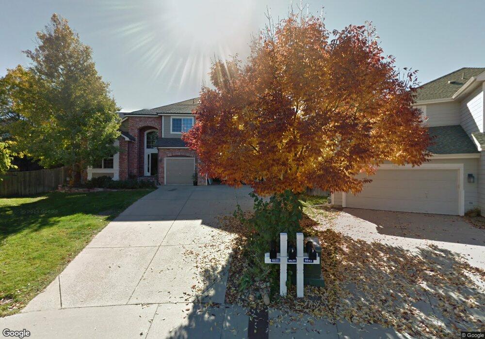
6639 Orchard Ct Arvada, CO 80007
Meadows at Westwoods NeighborhoodEstimated Value: $951,000 - $1,108,000
5
Beds
5
Baths
4,215
Sq Ft
$248/Sq Ft
Est. Value
About This Home
This home is located at 6639 Orchard Ct, Arvada, CO 80007 and is currently estimated at $1,043,752, approximately $247 per square foot. 6639 Orchard Ct is a home located in Jefferson County with nearby schools including West Woods Elementary School, Drake Junior High School, and Ralston Valley Senior High School.
Ownership History
Date
Name
Owned For
Owner Type
Purchase Details
Closed on
Apr 26, 2017
Sold by
Clotfelter Daniel M and Clotfelter Ann M
Bought by
Jackson Jeffrey R
Current Estimated Value
Purchase Details
Closed on
Jun 14, 1999
Sold by
Ball Theodore T and Ball Jeanne M
Bought by
Clotfelter Daniel M and Clotfelter Ann M
Home Financials for this Owner
Home Financials are based on the most recent Mortgage that was taken out on this home.
Original Mortgage
$130,000
Interest Rate
7.02%
Create a Home Valuation Report for This Property
The Home Valuation Report is an in-depth analysis detailing your home's value as well as a comparison with similar homes in the area
Home Values in the Area
Average Home Value in this Area
Purchase History
| Date | Buyer | Sale Price | Title Company |
|---|---|---|---|
| Jackson Jeffrey R | $610,000 | None Available | |
| Clotfelter Daniel M | $345,250 | Stewart Title |
Source: Public Records
Mortgage History
| Date | Status | Borrower | Loan Amount |
|---|---|---|---|
| Previous Owner | Clotfelter Daniel M | $130,000 |
Source: Public Records
Tax History Compared to Growth
Tax History
| Year | Tax Paid | Tax Assessment Tax Assessment Total Assessment is a certain percentage of the fair market value that is determined by local assessors to be the total taxable value of land and additions on the property. | Land | Improvement |
|---|---|---|---|---|
| 2024 | $6,144 | $63,344 | $11,248 | $52,096 |
| 2023 | $6,144 | $63,344 | $11,248 | $52,096 |
| 2022 | $4,739 | $48,395 | $9,951 | $38,444 |
| 2021 | $4,818 | $49,787 | $10,237 | $39,550 |
| 2020 | $4,312 | $44,685 | $11,485 | $33,200 |
| 2019 | $4,254 | $44,685 | $11,485 | $33,200 |
| 2018 | $3,698 | $37,764 | $10,814 | $26,950 |
| 2017 | $3,385 | $37,764 | $10,814 | $26,950 |
| 2016 | $3,594 | $37,770 | $9,791 | $27,979 |
| 2015 | $3,561 | $37,770 | $9,791 | $27,979 |
| 2014 | $3,561 | $35,172 | $8,737 | $26,435 |
Source: Public Records
Map
Nearby Homes
- 6476 Orion Way
- 15894 W 67th Place
- 15902 W 64th Ave
- 15516 W 66th Dr Unit A
- 15952 W 63rd Ln Unit A
- 6836 Poppy Ct
- 6462 Quartz Cir
- 15496 W 66th Dr Unit C
- 15492 W 65th Ave Unit C
- 6951 Nile Ct
- 6268 Pike Ct Unit D
- 16019 W 62nd Dr
- 15233 W 65th Ave Unit C
- 15296 W 66th Dr Unit G
- 6271 Mcintyre Way
- 15328 W 68th Ave
- 15290 W 68th Place
- 16589 W 69th Cir
- 15336 W 68th Ave
- 15338 W 68th Ave
- 6645 Orchard Ct
- 6635 Orchard Ct
- 16059 W 65th Place
- 6642 Orion Ct
- 16069 W 65th Place
- 16049 W 65th Place
- 16079 W 65th Place
- 16112 W 66th Cir
- 6634 Orchard Ct
- 16092 W 66th Cir
- 16039 W 65th Place
- 6637 Orion Ct
- 16132 W 66th Cir
- 6638 Orchard Ct
- 16089 W 65th Place
- 6644 Orchard Ct
- 16029 W 65th Place
- 16048 W 65th Place
- 16109 W 65th Place
- 6648 Orchard Ct