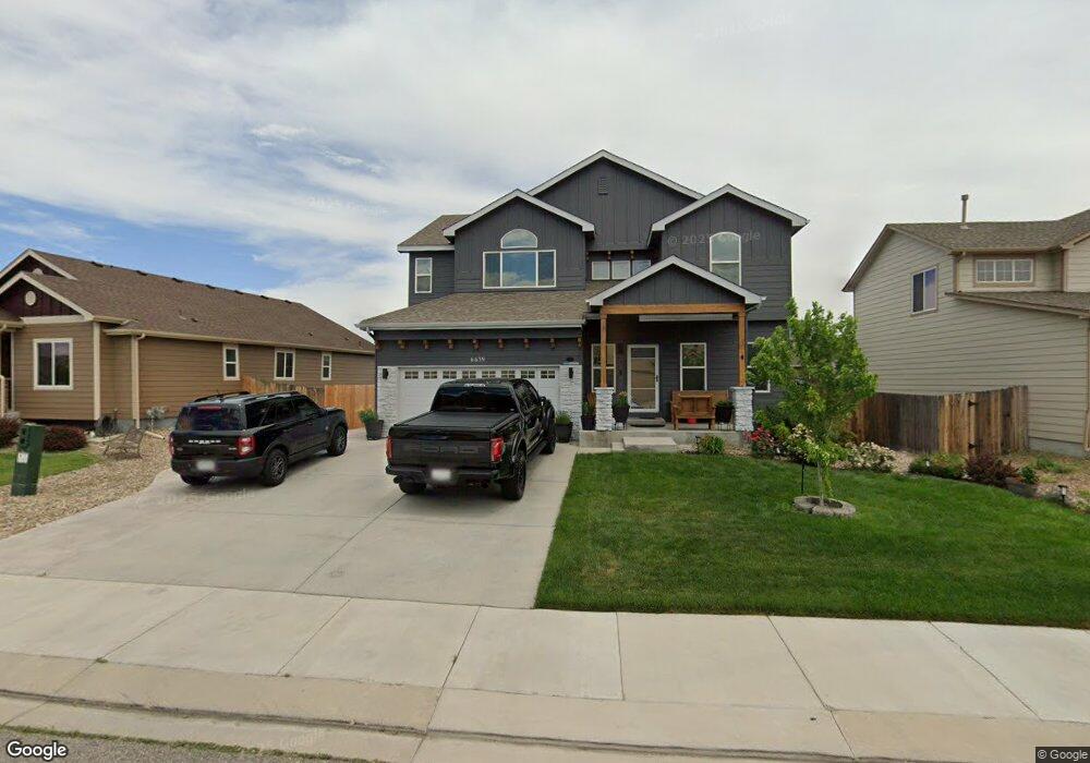
6639 Stingray Ln Colorado Springs, CO 80925
Widefield NeighborhoodEstimated Value: $455,466 - $554,000
4
Beds
3
Baths
2,188
Sq Ft
$228/Sq Ft
Est. Value
About This Home
This home is located at 6639 Stingray Ln, Colorado Springs, CO 80925 and is currently estimated at $498,617, approximately $227 per square foot. 6639 Stingray Ln is a home with nearby schools including Grand Mountain School, Mesa Ridge High School, and Valley Christian Academy.
Ownership History
Date
Name
Owned For
Owner Type
Purchase Details
Closed on
Jun 4, 2015
Sold by
Saint Aubyn Homes Llc
Bought by
Falcon Alexis F and Falcon Viviana L
Current Estimated Value
Home Financials for this Owner
Home Financials are based on the most recent Mortgage that was taken out on this home.
Original Mortgage
$303,500
Outstanding Balance
$235,655
Interest Rate
3.82%
Mortgage Type
VA
Estimated Equity
$262,962
Create a Home Valuation Report for This Property
The Home Valuation Report is an in-depth analysis detailing your home's value as well as a comparison with similar homes in the area
Home Values in the Area
Average Home Value in this Area
Purchase History
| Date | Buyer | Sale Price | Title Company |
|---|---|---|---|
| Falcon Alexis F | $303,500 | Heritage Title |
Source: Public Records
Mortgage History
| Date | Status | Borrower | Loan Amount |
|---|---|---|---|
| Open | Falcon Alexis F | $303,500 |
Source: Public Records
Tax History Compared to Growth
Tax History
| Year | Tax Paid | Tax Assessment Tax Assessment Total Assessment is a certain percentage of the fair market value that is determined by local assessors to be the total taxable value of land and additions on the property. | Land | Improvement |
|---|---|---|---|---|
| 2025 | $4,469 | $32,200 | -- | -- |
| 2024 | $4,425 | $33,400 | $6,040 | $27,360 |
| 2022 | $3,356 | $24,240 | $4,810 | $19,430 |
| 2021 | $3,494 | $24,940 | $4,950 | $19,990 |
| 2020 | $3,352 | $23,670 | $4,330 | $19,340 |
| 2019 | $3,341 | $23,670 | $4,330 | $19,340 |
| 2018 | $3,218 | $22,450 | $4,360 | $18,090 |
| 2017 | $3,285 | $22,450 | $4,360 | $18,090 |
| 2016 | $3,039 | $23,480 | $4,380 | $19,100 |
| 2015 | $1,196 | $8,770 | $8,770 | $0 |
| 2014 | $1,474 | $10,860 | $10,860 | $0 |
Source: Public Records
Map
Nearby Homes
- 10670 Abrams Dr
- 6572 Justice Way
- 10634 Abrams Dr
- 10568 Kalama Dr
- 10405 Abrams Dr
- 10394 Abrams Dr
- 10525 Abrams Dr
- 10442 Abrams Dr
- 10721 Yuba Dr
- 10179 Seawolf Dr
- 10250 Intrepid Way
- 6716 Volga Dr
- 6868 Alsea Dr
- 10202 Abrams Dr
- 6579 Lamine Dr
- 10604 Deer Meadow Cir
- 10208 Abrams Dr
- 6961 Maidford Dr
- 10732 Deer Meadow Cir
- 10573 Luneth Dr
- 6651 Stingray Ln
- 6615 Stingray Ln
- 10663 Abrams Dr
- 6663 Stingray Ln
- 10669 Abrams Dr
- 6603 Stingray Ln
- 10657 Abrams Dr
- 6675 Stingray Ln
- 6614 Stingray Ln
- 6626 Stingray Ln
- 6638 Stingray Ln
- 10675 Abrams Dr
- 6650 Stingray Ln
- 10681 Abrams Dr
- 6662 Stingray Ln
- 6687 Stingray Ln
- 6602 Stingray Ln
- 6674 Stingray Ln
- 10687 Abrams Dr
- 6699 Stingray Ln