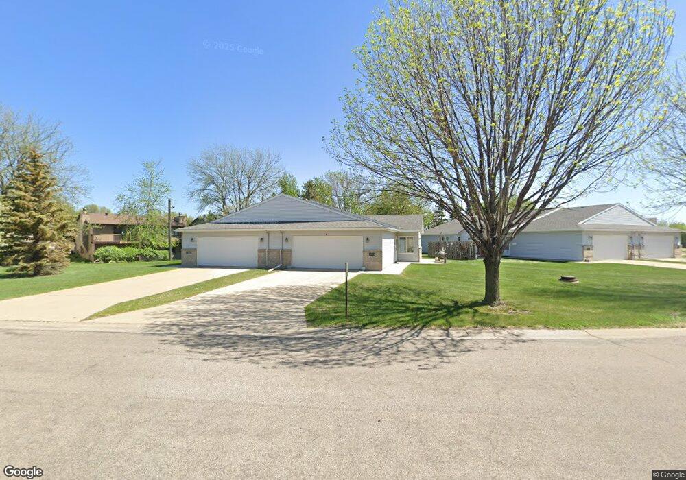
664 Appletree Ln Moorhead, MN 56560
Estimated Value: $235,539 - $245,000
2
Beds
2
Baths
1,370
Sq Ft
$177/Sq Ft
Est. Value
About This Home
This home is located at 664 Appletree Ln, Moorhead, MN 56560 and is currently estimated at $241,885, approximately $176 per square foot. 664 Appletree Ln is a home located in Clay County with nearby schools including Dorothy Dodds Elementary School, Horizon Middle School, and Moorhead High School.
Ownership History
Date
Name
Owned For
Owner Type
Purchase Details
Closed on
Aug 29, 2019
Sold by
Bouchie Richard D and Bouchie Judy L
Bought by
Johnson Mary Kay
Current Estimated Value
Purchase Details
Closed on
Aug 1, 2019
Sold by
Bouchie Richard D and Bouchie Judy L
Bought by
Bouchie Richard D
Purchase Details
Closed on
Jun 21, 2011
Sold by
Behrens Earl M and Behrens Dora I
Bought by
Lillevold Keith J
Home Financials for this Owner
Home Financials are based on the most recent Mortgage that was taken out on this home.
Original Mortgage
$75,001
Interest Rate
4.63%
Mortgage Type
New Conventional
Create a Home Valuation Report for This Property
The Home Valuation Report is an in-depth analysis detailing your home's value as well as a comparison with similar homes in the area
Home Values in the Area
Average Home Value in this Area
Purchase History
| Date | Buyer | Sale Price | Title Company |
|---|---|---|---|
| Johnson Mary Kay | $185,000 | Title Co Of Fargo | |
| Bouchie Richard D | -- | None Available | |
| Lillevold Keith J | $128,000 | None Available |
Source: Public Records
Mortgage History
| Date | Status | Borrower | Loan Amount |
|---|---|---|---|
| Previous Owner | Lillevold Keith J | $75,001 |
Source: Public Records
Tax History
| Year | Tax Paid | Tax Assessment Tax Assessment Total Assessment is a certain percentage of the fair market value that is determined by local assessors to be the total taxable value of land and additions on the property. | Land | Improvement |
|---|---|---|---|---|
| 2025 | $2,274 | $208,400 | $25,200 | $183,200 |
| 2024 | $2,274 | $201,200 | $25,200 | $176,000 |
| 2023 | $2,208 | $192,200 | $25,200 | $167,000 |
| 2022 | $2,086 | $188,200 | $21,600 | $166,600 |
| 2021 | $2,066 | $177,300 | $25,200 | $152,100 |
| 2020 | $2,412 | $175,000 | $25,200 | $149,800 |
| 2019 | $1,984 | $174,000 | $23,900 | $150,100 |
| 2018 | $2,174 | $168,800 | $23,900 | $144,900 |
| 2017 | $1,938 | $168,800 | $23,900 | $144,900 |
| 2016 | $1,802 | $157,900 | $23,900 | $134,000 |
| 2015 | $1,474 | $131,800 | $24,700 | $107,100 |
| 2014 | $1,558 | $131,800 | $24,700 | $107,100 |
Source: Public Records
Map
Nearby Homes
- 918 Rensvold Blvd
- 706 Rensvold Blvd
- 518 Birch Ln
- 453 Rensvold Blvd
- 3164 11th Ave S
- 2509 Walnut Cir
- 3724 27th St S
- 3718 27th St S
- 2305 4th Ave S
- 1715 33rd St S
- 2907 Eagle Dr
- 1515 19 1 2 St S
- 766 36th St S
- 429 18th St S
- 1217 17th St S
- 419 18th St S
- 1822 33rd St S
- 2002 35th Street South Cir
- 1815 20th Ave S
- 2239 35th Street Cir S