664 Bethany Ln Lebanon, TN 37087
Estimated Value: $391,000 - $574,000
--
Bed
2
Baths
2,063
Sq Ft
$234/Sq Ft
Est. Value
About This Home
This home is located at 664 Bethany Ln, Lebanon, TN 37087 and is currently estimated at $483,194, approximately $234 per square foot. 664 Bethany Ln is a home located in Wilson County with nearby schools including Tuckers Crossroads School and Watertown High School.
Ownership History
Date
Name
Owned For
Owner Type
Purchase Details
Closed on
Jun 29, 2004
Sold by
B & H Rentals Llc
Bought by
Fred Bender
Current Estimated Value
Home Financials for this Owner
Home Financials are based on the most recent Mortgage that was taken out on this home.
Original Mortgage
$174,650
Outstanding Balance
$86,803
Interest Rate
6.25%
Estimated Equity
$396,391
Purchase Details
Closed on
Jun 23, 2004
Bought by
Bender Fred and Bender Vanessa
Home Financials for this Owner
Home Financials are based on the most recent Mortgage that was taken out on this home.
Original Mortgage
$174,650
Outstanding Balance
$86,803
Interest Rate
6.25%
Estimated Equity
$396,391
Purchase Details
Closed on
Dec 27, 2002
Bought by
B & H Rentals Llc
Create a Home Valuation Report for This Property
The Home Valuation Report is an in-depth analysis detailing your home's value as well as a comparison with similar homes in the area
Home Values in the Area
Average Home Value in this Area
Purchase History
| Date | Buyer | Sale Price | Title Company |
|---|---|---|---|
| Fred Bender | $218,350 | -- | |
| Bender Fred | $218,400 | -- | |
| B & H Rentals Llc | $150,300 | -- |
Source: Public Records
Mortgage History
| Date | Status | Borrower | Loan Amount |
|---|---|---|---|
| Open | B & H Rentals Llc | $174,650 | |
| Closed | B & H Rentals Llc | $174,650 |
Source: Public Records
Tax History Compared to Growth
Tax History
| Year | Tax Paid | Tax Assessment Tax Assessment Total Assessment is a certain percentage of the fair market value that is determined by local assessors to be the total taxable value of land and additions on the property. | Land | Improvement |
|---|---|---|---|---|
| 2024 | $1,938 | $101,550 | $45,575 | $55,975 |
| 2022 | $1,938 | $101,550 | $45,575 | $55,975 |
| 2021 | $1,938 | $101,550 | $45,575 | $55,975 |
| 2020 | $2,042 | $101,550 | $45,575 | $55,975 |
| 2019 | $2,042 | $81,050 | $30,400 | $50,650 |
| 2018 | $2,042 | $81,050 | $30,400 | $50,650 |
| 2017 | $2,042 | $81,050 | $30,400 | $50,650 |
| 2016 | $2,042 | $81,050 | $30,400 | $50,650 |
| 2015 | $2,083 | $81,050 | $30,400 | $50,650 |
| 2014 | $1,676 | $65,204 | $0 | $0 |
Source: Public Records
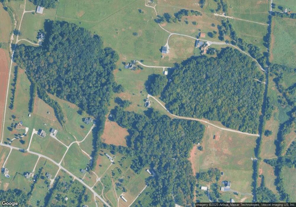
Map
Nearby Homes
- 0 Bluebird Rd Unit RTC3035961
- 745 Spring Creek Ln
- 9245 Trousdale Ferry Pike
- 1039 Quail Meadow Dr
- 346 Spring Creek Ln
- 1024 Quail Meadow Dr
- 1544 Eastover Rd
- 905 Mill Rd
- 667 Eastover Rd
- 1545 Carthage Hwy Unit 1545
- 717 Peyton Rd
- 234 Draper Ln
- 651 Trousdale Ferry Pike
- 922 Rome Pike
- 1505 Talley Dr
- 544 Trousdale Ferry Pike
- 124 Mill Rd
- 0 Eastover Rd Unit RTC2677879
- 1556 Sparta Pike
- 826 Rome Pike
- 558 Bethany Ln
- 3403 Bluebird Rd
- 530 Bethany Ln
- 3465 Bluebird Rd
- 0 Bluebird Road Extension Unit RTC2468595
- 0 Bluebird Road Extension Unit RTC2445989
- 175 Bluebird Extension
- 774 Bethany Ln
- 3450 Bluebird Rd
- 15 Bluebird Extension
- 15 Bluebird Rd
- 1 Bluebird Rd
- 5 Bluebird Extension
- 3414 Bluebird Rd
- 0 Bluebird Rd Unit 1940234
- 0 Bluebird Rd Unit 1914657
- 0 Bluebird Rd Unit RTC2752197
- 0 Bluebird Rd Unit RTC2671395
- 0 Bluebird Rd Unit RTC2563272
- 0 Bluebird Rd Unit RTC1677270