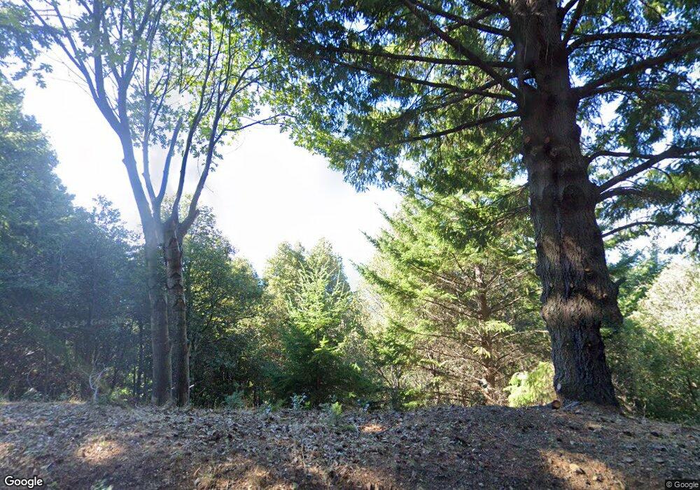
664 Blueridge Rd Whitethorn, CA 95589
Shelter Cove NeighborhoodEstimated Value: $188,570 - $710,000
--
Bed
--
Bath
--
Sq Ft
0.28
Acres
About This Home
This home is located at 664 Blueridge Rd, Whitethorn, CA 95589 and is currently estimated at $364,643. 664 Blueridge Rd is a home.
Ownership History
Date
Name
Owned For
Owner Type
Purchase Details
Closed on
Jul 19, 2019
Sold by
Rps Land Llc
Bought by
Huynh Danny D
Current Estimated Value
Purchase Details
Closed on
May 29, 2019
Sold by
Demartini Paul D
Bought by
Rps Land Llc
Purchase Details
Closed on
Apr 22, 2019
Sold by
Demartini Paul D and Demartini Bette M
Bought by
Rps Land Llc
Purchase Details
Closed on
Oct 18, 2002
Sold by
Amato Paul
Bought by
Demartini Paul D and Demartini Bette M
Purchase Details
Closed on
Jun 5, 2002
Sold by
Bank Of California
Bought by
Amato Paul
Create a Home Valuation Report for This Property
The Home Valuation Report is an in-depth analysis detailing your home's value as well as a comparison with similar homes in the area
Home Values in the Area
Average Home Value in this Area
Purchase History
| Date | Buyer | Sale Price | Title Company |
|---|---|---|---|
| Huynh Danny D | $4,000 | None Available | |
| Rps Land Llc | $2,000 | None Listed On Document | |
| Rps Land Llc | $2,000 | None Listed On Document | |
| Demartini Paul D | $20,000 | -- | |
| Amato Paul | $800 | -- |
Source: Public Records
Tax History Compared to Growth
Tax History
| Year | Tax Paid | Tax Assessment Tax Assessment Total Assessment is a certain percentage of the fair market value that is determined by local assessors to be the total taxable value of land and additions on the property. | Land | Improvement |
|---|---|---|---|---|
| 2025 | $358 | $4,372 | $4,372 | -- |
| 2024 | $358 | $4,287 | $4,287 | -- |
| 2023 | $358 | $4,203 | $4,203 | $0 |
| 2022 | $357 | $4,121 | $4,121 | $0 |
| 2021 | $356 | $4,041 | $4,041 | $0 |
| 2020 | $356 | $4,000 | $4,000 | $0 |
| 2019 | $397 | $7,783 | $7,783 | $0 |
| 2018 | $395 | $7,631 | $7,631 | $0 |
| 2017 | $320 | $7,482 | $7,482 | $0 |
| 2016 | $319 | $7,336 | $7,336 | $0 |
| 2015 | $319 | $7,226 | $7,226 | $0 |
| 2014 | $314 | $7,085 | $7,085 | $0 |
Source: Public Records
Map
Nearby Homes
- 58 Shasta Ct
- 454 & 474 Forest Rd
- 1453 Toth Rd
- 1684 Toth Rd
- 1659 Toth Rd
- 286 Blueridge Rd
- 258 Burns Ct
- 1199 Toth Rd
- 0 Bear Ct Unit 269072
- 43 & 61 Wood Ct
- 25 Seneca Ct Unit 10
- 1071 Hillside Dr
- 34 Vance Rd
- 969 Willow Glen Rd
- 0 Willow Glen Rd
- 85 Carson Ct
- 65 Carson Ct
- 171 Cook Rd
- 127 Cook Rd
- 463 Cook Rd
