Estimated Value: $82,897
3
Beds
1
Bath
1,660
Sq Ft
$50/Sq Ft
Est. Value
About This Home
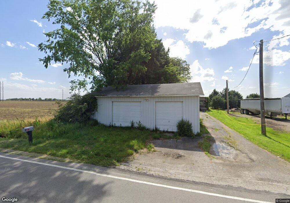
This home is located at 664 N Co Road 268, Clyde, OH 43410 and is currently priced at $82,897, approximately $49 per square foot. 664 N Co Road 268 is a home located in Sandusky County with nearby schools including Margaretta Elementary School and Margaretta High School.
Ownership History
Date
Name
Owned For
Owner Type
Purchase Details
Closed on
Jun 26, 2015
Sold by
Gozdowski Donald
Bought by
Taylor Troy
Current Estimated Value
Purchase Details
Closed on
Jan 27, 2010
Sold by
Gozdowski Donald
Bought by
Taylor Troy and Taylor Tammy
Home Financials for this Owner
Home Financials are based on the most recent Mortgage that was taken out on this home.
Original Mortgage
$21,000
Interest Rate
2%
Mortgage Type
Seller Take Back
Purchase Details
Closed on
Sep 6, 2007
Sold by
Jpmorgan Chase Bank
Bought by
Gozdowski Donald
Purchase Details
Closed on
Jun 23, 2006
Sold by
Gay Chris A
Bought by
Jp Morgan Chase Bank
Purchase Details
Closed on
Dec 1, 1987
Bought by
Taylor Troy
Create a Home Valuation Report for This Property
The Home Valuation Report is an in-depth analysis detailing your home's value as well as a comparison with similar homes in the area
Home Values in the Area
Average Home Value in this Area
Purchase History
| Date | Buyer | Sale Price | Title Company |
|---|---|---|---|
| Taylor Troy | $23,000 | Hartung Title Agency | |
| Taylor Troy | $23,000 | Attorney | |
| Gozdowski Donald | $7,500 | Attorney | |
| Jp Morgan Chase Bank | $32,000 | None Available | |
| Taylor Troy | -- | -- |
Source: Public Records
Mortgage History
| Date | Status | Borrower | Loan Amount |
|---|---|---|---|
| Previous Owner | Taylor Troy | $21,000 |
Source: Public Records
Tax History Compared to Growth
Tax History
| Year | Tax Paid | Tax Assessment Tax Assessment Total Assessment is a certain percentage of the fair market value that is determined by local assessors to be the total taxable value of land and additions on the property. | Land | Improvement |
|---|---|---|---|---|
| 2024 | $419 | $10,680 | $4,270 | $6,410 |
| 2023 | $422 | $8,400 | $3,360 | $5,040 |
| 2022 | $357 | $8,400 | $3,360 | $5,040 |
| 2021 | $353 | $8,400 | $3,360 | $5,040 |
| 2020 | $358 | $8,020 | $3,360 | $4,660 |
| 2019 | $359 | $8,020 | $3,360 | $4,660 |
| 2018 | $370 | $8,020 | $3,360 | $4,660 |
| 2017 | $363 | $7,700 | $3,360 | $4,340 |
| 2016 | $355 | $7,700 | $3,360 | $4,340 |
| 2015 | $350 | $7,700 | $3,360 | $4,340 |
| 2014 | $397 | $8,130 | $3,470 | $4,660 |
| 2013 | $426 | $8,130 | $3,470 | $4,660 |
Source: Public Records
Map
Nearby Homes
- 0 County Rd 260 Rd Unit 5061556
- 710 N State Route 510
- 1766 County Road 260 Elm St
- 3850 County Road 231
- 550 County Road 242
- 810 N Main St
- 0 Ohio 101
- 0 W Mcpherson Hwy
- 625 Ames St
- 0 Ames St
- 1337 E Sr 20
- 117 Nelson St
- 0 Durnwald Dr
- CR 260 89.6 acres Durnwald Dr
- 761 N Woodland Ave
- 1270 W Mcpherson Hwy
- 248 Ott St
- 235 W Buckeye St
- 315 E Grant St
- 216 Grand Ave Unit 216
- 664 N County Road 268
- 679 N County Road 268
- 706 N County Road 268
- 607 N County Road 268
- 521 N County Road 268
- 495 N County Road 268
- 5133 County Road 237
- 5141 County Road 237
- 477 N County Road 268
- 477 N Co Road 268
- 463 N County Road 268
- 5187 County Road 237
- 5070 County Road 337
- 5160 County Road 237
- 865 County Road 268
- 4881 Cr 337
- 4885 County Road 337
- 4881 County Road 337
- 5014 County Road 231
- 987 County Road 268