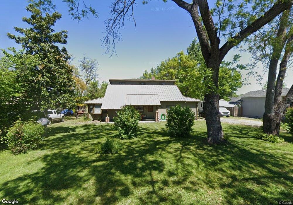
664 Pittview Ave Central Point, OR 97502
Estimated Value: $401,746 - $461,000
5
Beds
2
Baths
1,630
Sq Ft
$264/Sq Ft
Est. Value
About This Home
This home is located at 664 Pittview Ave, Central Point, OR 97502 and is currently estimated at $429,687, approximately $263 per square foot. 664 Pittview Ave is a home located in Jackson County with nearby schools including Central Point Elementary School, Scenic Middle School, and Crater High School.
Ownership History
Date
Name
Owned For
Owner Type
Purchase Details
Closed on
May 13, 2019
Sold by
Casey Thelma J
Bought by
Casey Michael W and Casey Valerie J
Current Estimated Value
Purchase Details
Closed on
Sep 25, 2009
Sold by
Casey Michael W and Casey Valerie J
Bought by
Casey Michael W and Casey Valerie J
Home Financials for this Owner
Home Financials are based on the most recent Mortgage that was taken out on this home.
Original Mortgage
$126,400
Interest Rate
5.08%
Mortgage Type
New Conventional
Create a Home Valuation Report for This Property
The Home Valuation Report is an in-depth analysis detailing your home's value as well as a comparison with similar homes in the area
Home Values in the Area
Average Home Value in this Area
Purchase History
| Date | Buyer | Sale Price | Title Company |
|---|---|---|---|
| Casey Michael W | -- | None Available | |
| Casey Michael W | -- | Accommodation | |
| Casey Michael W | -- | Ticor Title |
Source: Public Records
Mortgage History
| Date | Status | Borrower | Loan Amount |
|---|---|---|---|
| Previous Owner | Casey Michael W | $126,400 |
Source: Public Records
Tax History Compared to Growth
Tax History
| Year | Tax Paid | Tax Assessment Tax Assessment Total Assessment is a certain percentage of the fair market value that is determined by local assessors to be the total taxable value of land and additions on the property. | Land | Improvement |
|---|---|---|---|---|
| 2025 | $3,494 | $210,140 | $81,940 | $128,200 |
| 2024 | $3,494 | $204,020 | $79,550 | $124,470 |
| 2023 | $3,381 | $198,080 | $77,240 | $120,840 |
| 2022 | $3,303 | $198,080 | $77,240 | $120,840 |
| 2021 | $3,208 | $192,320 | $74,990 | $117,330 |
| 2020 | $3,115 | $186,720 | $72,800 | $113,920 |
| 2019 | $3,038 | $176,010 | $68,630 | $107,380 |
| 2018 | $2,945 | $170,890 | $66,630 | $104,260 |
| 2017 | $2,871 | $170,890 | $66,630 | $104,260 |
| 2016 | $2,788 | $161,090 | $62,810 | $98,280 |
| 2015 | $2,671 | $161,090 | $62,810 | $98,280 |
| 2014 | $2,602 | $151,850 | $59,220 | $92,630 |
Source: Public Records
Map
Nearby Homes
- 921 Pittview Ave
- 1017 Fairfield Ave
- 1060 Hopkins Rd
- 928 Brandi Way
- 851 Juanita Way
- 1025 Fairfield Ave
- 959 Westrop Dr
- 881 Westrop Dr
- 3364 Bursell Rd
- 3358 Bursell Rd
- 571 Briarwood Dr
- 1065 Edwina Ave
- 659 Herman Ave
- 745 Herman Ave
- 3119 Merriman Rd
- 555 Freeman Rd Unit 128
- 555 Freeman Rd Unit 146
- 555 Freeman Rd Unit 204
- 555 Freeman Rd Unit 209
- 460 Federal Way
- 664 Pittview Ave
- 0 Pittview Ave
- 928 Fairfield Cir
- 932 Fairfield Cir
- 935 Pittview Ave
- 702 Pittview Ave
- 1094 Cathedral Way
- 934 Fairfield Cir
- 934 Pittview Ave
- 1092 Cathedral Way
- 931 Fairfield Cir
- 943 Pittview Ave
- 683 Pittview Ave
- 1084 Cathedral Way
- 1121 Marilee St
- 955 Pittview Ave
- 936 Fairfield Cir
- 933 Fairfield Cir
- 701 Pittview Ave
- 1072 Cathedral Way