664 Rocky Weed Rd Berrien Springs, MI 49103
Estimated Value: $130,000 - $238,000
2
Beds
1
Bath
936
Sq Ft
$192/Sq Ft
Est. Value
About This Home
This home is located at 664 Rocky Weed Rd, Berrien Springs, MI 49103 and is currently estimated at $179,791, approximately $192 per square foot. 664 Rocky Weed Rd is a home located in Berrien County with nearby schools including Lakeshore High School, St. Paul's Lutheran School, and Michigan Lutheran High School.
Ownership History
Date
Name
Owned For
Owner Type
Purchase Details
Closed on
Jun 14, 2021
Sold by
Luttrell Dorothy and Luttrell James Oliver
Bought by
Wilkins Bradford
Current Estimated Value
Home Financials for this Owner
Home Financials are based on the most recent Mortgage that was taken out on this home.
Original Mortgage
$14,000
Outstanding Balance
$12,675
Interest Rate
2.9%
Mortgage Type
Purchase Money Mortgage
Estimated Equity
$167,116
Purchase Details
Closed on
Aug 12, 2013
Sold by
Luttrell Bennie D and Luttrell Bertha O
Bought by
Luttrell Bennie D and Luttrell Bertha O
Purchase Details
Closed on
Oct 20, 2011
Sold by
Luttrell Bennie D and Luttrell Bertha O
Bought by
Wilkins Bradford
Purchase Details
Closed on
Dec 10, 2009
Sold by
Luttrell Bennie D and Luttrell Bertha O
Bought by
Wilkins Bradford
Create a Home Valuation Report for This Property
The Home Valuation Report is an in-depth analysis detailing your home's value as well as a comparison with similar homes in the area
Home Values in the Area
Average Home Value in this Area
Purchase History
| Date | Buyer | Sale Price | Title Company |
|---|---|---|---|
| Wilkins Bradford | $90,000 | None Available | |
| Luttrell Bennie D | -- | None Available | |
| Wilkins Bradford | -- | None Available | |
| Wilkins Bradford | -- | None Available |
Source: Public Records
Mortgage History
| Date | Status | Borrower | Loan Amount |
|---|---|---|---|
| Open | Wilkins Bradford | $14,000 |
Source: Public Records
Tax History Compared to Growth
Tax History
| Year | Tax Paid | Tax Assessment Tax Assessment Total Assessment is a certain percentage of the fair market value that is determined by local assessors to be the total taxable value of land and additions on the property. | Land | Improvement |
|---|---|---|---|---|
| 2025 | $1,622 | $86,700 | $0 | $0 |
| 2024 | $1,299 | $74,700 | $0 | $0 |
| 2023 | $1,237 | $66,600 | $0 | $0 |
| 2022 | $1,172 | $59,300 | $0 | $0 |
| 2021 | $1,441 | $60,900 | $19,200 | $41,700 |
| 2020 | $1,404 | $61,900 | $0 | $0 |
| 2019 | $1,382 | $56,300 | $17,700 | $38,600 |
| 2018 | $1,355 | $56,300 | $0 | $0 |
| 2017 | $1,462 | $57,400 | $0 | $0 |
| 2016 | $1,457 | $58,400 | $0 | $0 |
| 2015 | $1,490 | $59,800 | $0 | $0 |
| 2014 | $1,315 | $62,900 | $0 | $0 |
Source: Public Records
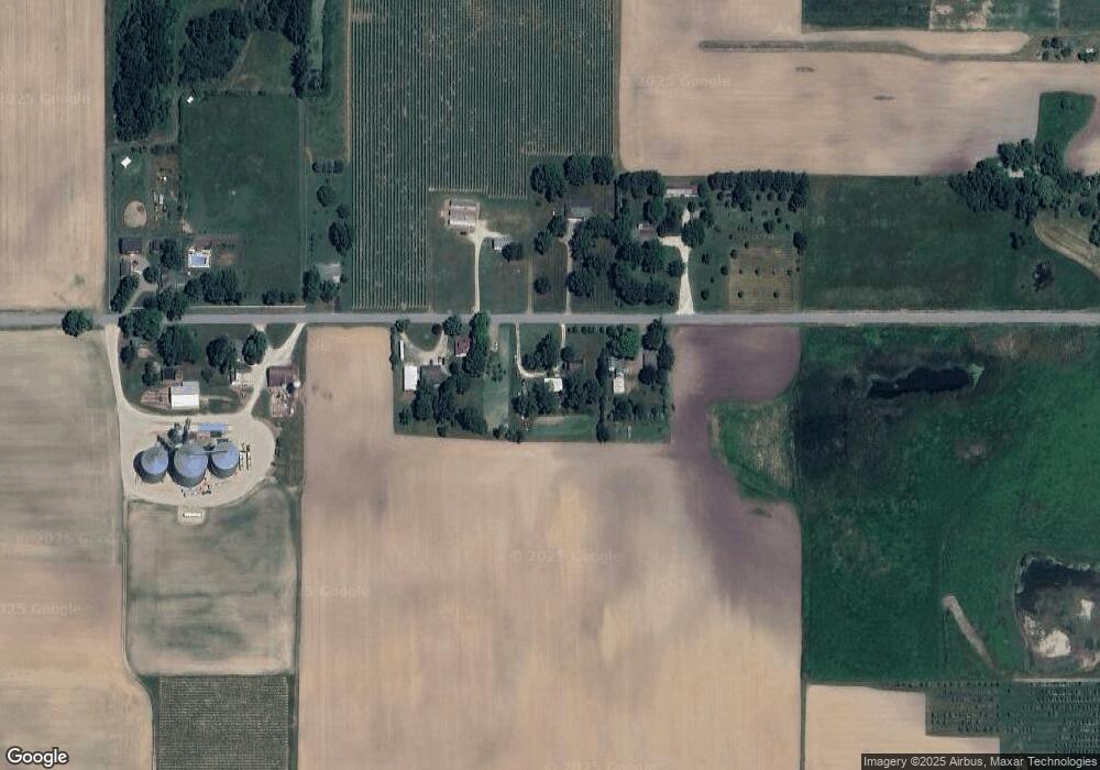
Map
Nearby Homes
- V/L Scottdale Rd
- 6130 Eidson Rd
- 430 E John Beers Rd
- V/L Parcel 1 Scottdale Rd
- 333 Rainbow Dr
- 319 Robin Ct
- 5300 Scottdale Rd
- 0 Hollywood Rd
- 1046 E Hinchman Rd
- 1229 E Marquette Woods Rd
- V/L E Hinchman Rd
- 418 & 420 Wittenberg Path
- 5239 Mandiberry Ln Unit 6
- 4687 &4689 Luther Path
- 1499 Prairie Dr
- Lot #6 S Dickinson Estates Dr
- 4711 Scottdale Rd
- 2191 Suncrest Breeze
- Integrity 2280 Plan at Concord Ridge
- Integrity 1605 Plan at Concord Ridge
- 686 Rocky Weed Rd
- 618 Rocky Weed Rd
- 687 Rocky Weed Rd
- 665 Rocky Weed Rd
- 565 Rocky Weed Rd
- 489 Rocky Weed Rd
- 6304 S Scottdale Rd
- 6788 S Scottdale Rd
- 6248 S Scottdale Rd
- 6686 S Scottdale Rd
- 914 W Rockey Weed Rd
- 6571 S Scottdale Rd
- 914 Rocky Weed Rd
- 6537 S Scottdale Rd
- 6557 S Scottdale Rd
- 927 Rocky Weed Rd
- 938 Rocky Weed Rd
- 6440 S Scottdale Rd
- 6701 S Scottdale Rd
- 6771 S Scottdale Rd