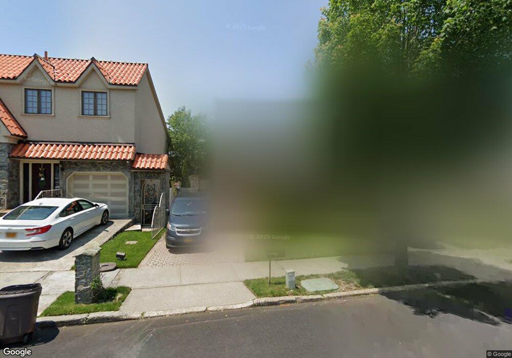
664 Stewart Ave Staten Island, NY 10314
Willowbrook NeighborhoodEstimated Value: $695,344 - $809,000
--
Bed
4
Baths
1,560
Sq Ft
$480/Sq Ft
Est. Value
About This Home
This home is located at 664 Stewart Ave, Staten Island, NY 10314 and is currently estimated at $748,586, approximately $479 per square foot. 664 Stewart Ave is a home located in Richmond County with nearby schools including P.S. 54 Charles W Leng, Is 72 Rocco Laurie, and Susan E Wagner High School.
Ownership History
Date
Name
Owned For
Owner Type
Purchase Details
Closed on
Jun 20, 2000
Sold by
Olinsky Robert M and Olinsky Gabriella
Bought by
Rosenrauch Leor and Rosenrauch Sharona
Current Estimated Value
Home Financials for this Owner
Home Financials are based on the most recent Mortgage that was taken out on this home.
Original Mortgage
$20,285
Interest Rate
8.13%
Create a Home Valuation Report for This Property
The Home Valuation Report is an in-depth analysis detailing your home's value as well as a comparison with similar homes in the area
Home Values in the Area
Average Home Value in this Area
Purchase History
| Date | Buyer | Sale Price | Title Company |
|---|---|---|---|
| Rosenrauch Leor | $110,500 | -- |
Source: Public Records
Mortgage History
| Date | Status | Borrower | Loan Amount |
|---|---|---|---|
| Previous Owner | Rosenrauch Leor | $20,285 |
Source: Public Records
Tax History Compared to Growth
Tax History
| Year | Tax Paid | Tax Assessment Tax Assessment Total Assessment is a certain percentage of the fair market value that is determined by local assessors to be the total taxable value of land and additions on the property. | Land | Improvement |
|---|---|---|---|---|
| 2025 | $5,156 | $44,760 | $5,462 | $39,298 |
| 2024 | $5,168 | $41,640 | $5,539 | $36,101 |
| 2023 | $5,214 | $27,072 | $4,992 | $22,080 |
| 2022 | $5,076 | $42,540 | $8,520 | $34,020 |
| 2021 | $5,031 | $40,920 | $8,520 | $32,400 |
| 2020 | $4,765 | $35,280 | $8,520 | $26,760 |
| 2019 | $4,426 | $34,920 | $8,520 | $26,400 |
| 2018 | $4,301 | $22,560 | $5,772 | $16,788 |
| 2017 | $4,264 | $22,387 | $7,002 | $15,385 |
| 2016 | $3,912 | $21,120 | $7,244 | $13,876 |
| 2015 | $3,303 | $19,926 | $6,044 | $13,882 |
| 2014 | $3,303 | $18,800 | $5,963 | $12,837 |
Source: Public Records
Map
Nearby Homes
- 8 Dreyer Ave Unit A
- 664 S Gannon Ave
- 37 Dreyer Ave Unit A
- 490 Collfield Ave
- 0 Woodward Ave
- 410 Hawthorne Ave Unit 51
- 777-805 Willowbrook Rd
- 522 Stewart Ave
- 2441 Victory Blvd
- 2439 Victory Blvd
- 2437 Victory Blvd
- 441 Purdy Ave
- 592 Woolley Ave
- 11 Denton Place
- 493 Willowbrook Rd
- 251 Cambridge Ave
- 97 Martin Ave
- 523 Woolley Ave
- 182 Ardmore Ave
- 245 Martin Ave
- 662 Stewart Ave
- 668 Stewart Ave
- 658 Stewart Ave
- 672 Stewart Ave
- 715 Willowbrook Rd
- 723 Willowbrook Rd
- 654 Stewart Ave
- 674 Stewart Ave
- 711 Willowbrook Rd
- 67 Bascom Place
- 678 Stewart Ave
- 727 Willowbrook Rd
- 650 Stewart Ave
- 703 Willowbrook Rd
- 63 Bascom Place
- 704 S Gannon Ave
- 729 Willowbrook Rd
- 680 Stewart Ave
- 673 Stewart Ave
- 731 Willowbrook Rd