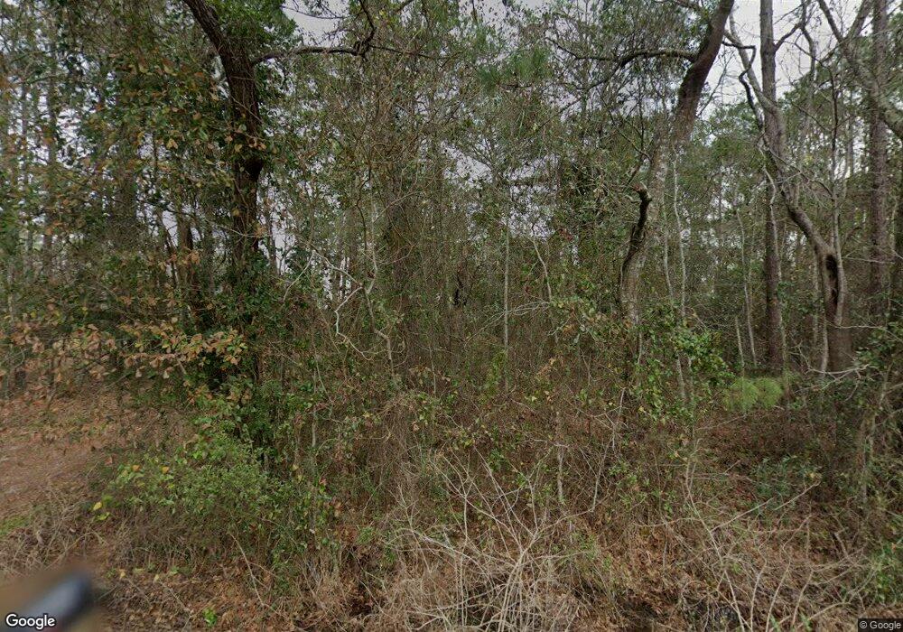
6641 Bay Rd Mobile, AL 36605
Bayside NeighborhoodEstimated Value: $502,000 - $897,000
5
Beds
5
Baths
3,200
Sq Ft
$206/Sq Ft
Est. Value
About This Home
This home is located at 6641 Bay Rd, Mobile, AL 36605 and is currently estimated at $660,536, approximately $206 per square foot. 6641 Bay Rd is a home located in Mobile County with nearby schools including Hollingers Island Elementary School, Katherine H Hankins Middle School, and Theodore High School.
Ownership History
Date
Name
Owned For
Owner Type
Purchase Details
Closed on
Jan 25, 2017
Sold by
Mayberry Michael M and Mayberry Michele M
Bought by
Mary Claire Mcdermott Wacker Children S
Current Estimated Value
Purchase Details
Closed on
Jul 22, 2002
Sold by
Molpus Caleb E and Stanfill Elizabeth Grey
Bought by
Mayberry Michael M and Mayberry Michelle M
Home Financials for this Owner
Home Financials are based on the most recent Mortgage that was taken out on this home.
Original Mortgage
$148,000
Interest Rate
6.12%
Create a Home Valuation Report for This Property
The Home Valuation Report is an in-depth analysis detailing your home's value as well as a comparison with similar homes in the area
Home Values in the Area
Average Home Value in this Area
Purchase History
| Date | Buyer | Sale Price | Title Company |
|---|---|---|---|
| Mary Claire Mcdermott Wacker Children S | $449,000 | Surety Land Title | |
| Mayberry Michael M | $185,000 | Surety Land Title Inc |
Source: Public Records
Mortgage History
| Date | Status | Borrower | Loan Amount |
|---|---|---|---|
| Previous Owner | Mayberry Michael M | $148,000 | |
| Closed | Mayberry Michael M | $18,500 |
Source: Public Records
Tax History Compared to Growth
Tax History
| Year | Tax Paid | Tax Assessment Tax Assessment Total Assessment is a certain percentage of the fair market value that is determined by local assessors to be the total taxable value of land and additions on the property. | Land | Improvement |
|---|---|---|---|---|
| 2025 | $4,511 | $93,020 | $30,420 | $62,600 |
| 2024 | $4,511 | $90,800 | $30,420 | $60,380 |
| 2023 | $4,404 | $85,280 | $32,140 | $53,140 |
| 2022 | $4,719 | $97,300 | $32,140 | $65,160 |
| 2021 | $4,754 | $98,020 | $32,140 | $65,880 |
| 2020 | $4,789 | $98,740 | $32,140 | $66,600 |
| 2019 | $4,627 | $95,400 | $32,140 | $63,260 |
| 2018 | $4,661 | $96,100 | $0 | $0 |
| 2017 | $1,857 | $39,660 | $0 | $0 |
| 2016 | $2,225 | $47,260 | $0 | $0 |
| 2013 | $1,957 | $41,420 | $0 | $0 |
Source: Public Records
Map
Nearby Homes
- 0 Bay Rd NW Unit 7656351
- 0 Gaywood Dr Unit 7595343
- 6768 Gaywood Dr
- 0 Pinehaven Dr Unit 7597592
- 0 Pinehaven Dr Unit 7624696
- 6789 Bay Rd
- 0 Islewood Dr Unit 7611638
- 0 Islewood Dr Unit 7611682
- 0 Islewood Dr Unit 7611690
- 0 Islewood Dr Unit 7611709
- 7015 Bay Rd
- 2261 Island Rd
- 0 Marina Dr S Unit 7656379
- 7153 Bay Rd
- 6096 Rock Point Rd
- 6096 Rock Point Rd Unit 9
- 6151 Bayou Rd
- 6145 Bayou Rd
- 2751 Hamilton Blvd
- 6035 Bayou Rd
