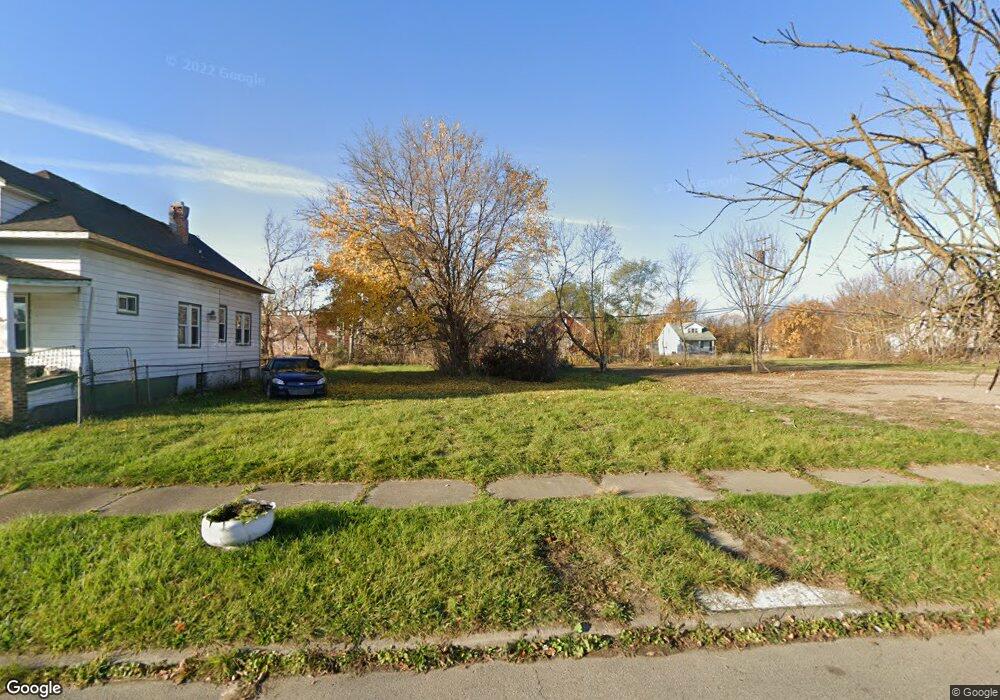
6641 Burns St Detroit, MI 48213
Estimated Value: $54,000 - $119,000
--
Bed
1
Bath
536
Sq Ft
$161/Sq Ft
Est. Value
About This Home
This home is located at 6641 Burns St, Detroit, MI 48213 and is currently estimated at $86,500, approximately $161 per square foot. 6641 Burns St is a home located in Wayne County with nearby schools including Edward 'Duke' Ellington Conservatory of Music and Art, Charles L. Spain Elementary-Middle School, and Bates Academy.
Ownership History
Date
Name
Owned For
Owner Type
Purchase Details
Closed on
Sep 6, 2022
Sold by
Detroit Land Bank Authority
Bought by
Simmons Bettye
Current Estimated Value
Purchase Details
Closed on
Jan 23, 2014
Sold by
Wayne County Treasurer
Bought by
Detroit Landbank Authority
Purchase Details
Closed on
Jun 29, 2006
Sold by
Jennings Pope Laronda C
Bought by
Aegis Mortgage Corp
Purchase Details
Closed on
Oct 6, 2004
Sold by
Babb Gwendon and Jennings Pope Laronda C
Bought by
Jennings Pope Laronda C
Create a Home Valuation Report for This Property
The Home Valuation Report is an in-depth analysis detailing your home's value as well as a comparison with similar homes in the area
Home Values in the Area
Average Home Value in this Area
Purchase History
| Date | Buyer | Sale Price | Title Company |
|---|---|---|---|
| Simmons Bettye | -- | -- | |
| Detroit Landbank Authority | -- | None Available | |
| Aegis Mortgage Corp | $44,356 | None Available | |
| Jennings Pope Laronda C | -- | Philip R Seaver Title Co Inc |
Source: Public Records
Tax History Compared to Growth
Tax History
| Year | Tax Paid | Tax Assessment Tax Assessment Total Assessment is a certain percentage of the fair market value that is determined by local assessors to be the total taxable value of land and additions on the property. | Land | Improvement |
|---|---|---|---|---|
| 2025 | -- | $600 | $0 | $0 |
| 2024 | -- | $0 | $0 | $0 |
| 2023 | $0 | $0 | $0 | $0 |
| 2022 | -- | $0 | $0 | $0 |
| 2021 | $0 | $0 | $0 | $0 |
| 2020 | $437 | $0 | $0 | $0 |
| 2019 | $437 | $0 | $0 | $0 |
| 2018 | $0 | $0 | $0 | $0 |
| 2017 | -- | $0 | $0 | $0 |
| 2016 | $201 | $0 | $0 | $0 |
| 2015 | $201 | $0 | $0 | $0 |
| 2013 | $201 | $2,014 | $0 | $0 |
| 2010 | -- | $2,952 | $360 | $2,592 |
Source: Public Records
Map
Nearby Homes
- 6640 Fischer Ave
- 6486 Seneca St
- 6475 Seneca St
- 8525 Maxwell St
- 8140 Marion St
- 8221 Marion St
- 5999 Fischer St
- 8840 Van Dyke St
- 6007 Crane St
- 9118 Erwin St
- 5907 Iroquois St
- 5865 Seneca St
- 8146 Edgewood St
- 7454 Roland St
- 7401 Marcus St
- 6023 Cooper St
- 9453 Edgewood St
- 6015 Pennsylvania St
- 8167 Woodlawn St
- 5054 Iroquois Ave