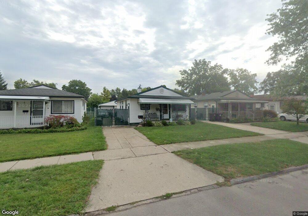
6641 Oak St Taylor, MI 48180
Estimated Value: $135,000 - $170,000
Studio
--
Bath
852
Sq Ft
$172/Sq Ft
Est. Value
About This Home
This home is located at 6641 Oak St, Taylor, MI 48180 and is currently estimated at $146,413, approximately $171 per square foot. 6641 Oak St is a home located in Wayne County with nearby schools including Clarence Randall Elementary School, Hoover Middle School, and Quest Charter Academy.
Ownership History
Date
Name
Owned For
Owner Type
Purchase Details
Closed on
Apr 16, 2019
Sold by
Linzell Pauline
Bought by
Giraud Jack and Giraud Pamela J
Current Estimated Value
Home Financials for this Owner
Home Financials are based on the most recent Mortgage that was taken out on this home.
Original Mortgage
$68,732
Outstanding Balance
$61,804
Interest Rate
5.5%
Mortgage Type
FHA
Estimated Equity
$84,609
Create a Home Valuation Report for This Property
The Home Valuation Report is an in-depth analysis detailing your home's value as well as a comparison with similar homes in the area
Home Values in the Area
Average Home Value in this Area
Purchase History
| Date | Buyer | Sale Price | Title Company |
|---|---|---|---|
| Giraud Jack | $70,000 | Michigan Title Ins Agcy Inc |
Source: Public Records
Mortgage History
| Date | Status | Borrower | Loan Amount |
|---|---|---|---|
| Open | Giraud Jack | $68,732 |
Source: Public Records
Tax History
| Year | Tax Paid | Tax Assessment Tax Assessment Total Assessment is a certain percentage of the fair market value that is determined by local assessors to be the total taxable value of land and additions on the property. | Land | Improvement |
|---|---|---|---|---|
| 2025 | $2,085 | $71,600 | $0 | $0 |
| 2024 | $2,019 | $63,000 | $0 | $0 |
| 2023 | $4,081 | $55,800 | $0 | $0 |
| 2022 | $1,927 | $49,600 | $0 | $0 |
| 2021 | $3,345 | $44,700 | $0 | $0 |
| 2020 | $2,096 | $40,300 | $0 | $0 |
| 2019 | $138,972 | $33,200 | $0 | $0 |
| 2018 | $1,093 | $27,000 | $0 | $0 |
| 2017 | $600 | $27,500 | $0 | $0 |
| 2016 | $1,356 | $26,700 | $0 | $0 |
| 2015 | $2,470 | $24,700 | $0 | $0 |
| 2013 | $2,510 | $26,100 | $0 | $0 |
| 2012 | $1,118 | $25,400 | $7,300 | $18,100 |
Source: Public Records
Map
Nearby Homes
- 6587 Elm St
- 6753 Madison St
- 6456 Birch St
- 6606 Cornell St
- 6864 Cornell St
- 7166 Pardee Rd
- 6784 Cooper St
- 6550 Buck St
- 7912 Pine St
- 6420 Burr St
- 6605 Bailey St
- 6042 Banner St
- 5871 Cooper St
- 5952 Banner St
- 5689 Cornell St
- 5578 Grindley Park St
- 22931 Champaign St
- 5880 Burr St
- 7521 Katherine St
- 8279 Elm St
Your Personal Tour Guide
Ask me questions while you tour the home.