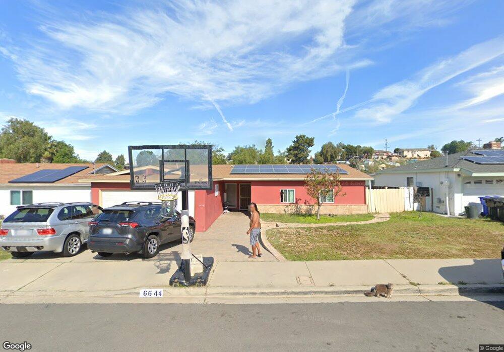
6644 Charlene Ave San Diego, CA 92114
Broadway Heights NeighborhoodEstimated Value: $691,000 - $748,694
3
Beds
2
Baths
1,327
Sq Ft
$546/Sq Ft
Est. Value
About This Home
This home is located at 6644 Charlene Ave, San Diego, CA 92114 and is currently estimated at $724,924, approximately $546 per square foot. 6644 Charlene Ave is a home located in San Diego County with nearby schools including San Miguel Elementary School, Mount Miguel High School, and Helix High School.
Ownership History
Date
Name
Owned For
Owner Type
Purchase Details
Closed on
Nov 12, 2012
Sold by
Aslan Residential V Llc
Bought by
Cheam Sokphanny
Current Estimated Value
Home Financials for this Owner
Home Financials are based on the most recent Mortgage that was taken out on this home.
Original Mortgage
$250,381
Outstanding Balance
$173,916
Interest Rate
3.5%
Mortgage Type
FHA
Estimated Equity
$551,008
Purchase Details
Closed on
Jun 14, 2012
Sold by
Birden Albert
Bought by
Aslan Residential V Llc
Create a Home Valuation Report for This Property
The Home Valuation Report is an in-depth analysis detailing your home's value as well as a comparison with similar homes in the area
Home Values in the Area
Average Home Value in this Area
Purchase History
| Date | Buyer | Sale Price | Title Company |
|---|---|---|---|
| Cheam Sokphanny | $255,000 | First American Title Company | |
| Aslan Residential V Llc | $177,000 | First American Title |
Source: Public Records
Mortgage History
| Date | Status | Borrower | Loan Amount |
|---|---|---|---|
| Open | Cheam Sokphanny | $250,381 |
Source: Public Records
Tax History Compared to Growth
Tax History
| Year | Tax Paid | Tax Assessment Tax Assessment Total Assessment is a certain percentage of the fair market value that is determined by local assessors to be the total taxable value of land and additions on the property. | Land | Improvement |
|---|---|---|---|---|
| 2025 | $3,655 | $314,001 | $168,531 | $145,470 |
| 2024 | $3,655 | $307,845 | $165,227 | $142,618 |
| 2023 | $3,550 | $301,810 | $161,988 | $139,822 |
| 2022 | $3,527 | $295,893 | $158,812 | $137,081 |
| 2021 | $3,472 | $290,093 | $155,699 | $134,394 |
| 2020 | $3,440 | $287,119 | $154,103 | $133,016 |
| 2019 | $3,390 | $281,490 | $151,082 | $130,408 |
| 2018 | $3,316 | $275,971 | $148,120 | $127,851 |
| 2017 | $3,272 | $270,561 | $145,216 | $125,345 |
| 2016 | $3,165 | $265,257 | $142,369 | $122,888 |
| 2015 | $3,142 | $261,274 | $140,231 | $121,043 |
| 2014 | $3,010 | $256,157 | $137,485 | $118,672 |
Source: Public Records
Map
Nearby Homes
- 6781 Pilot Way
- 0 Mallard St
- 2425 Madroncillo St
- 6855 Radio Dr
- 6743 Radio Dr
- 6333 College Grove Way Unit 11102
- 6333 College Grove Way Unit 13106
- 2280 Peppermint Ln
- 2039 Winnett St
- 7015 Lermas Ct
- 6524 Radio Dr
- 7065 Berry Park Ln
- 6816 Central Ave Unit 20
- 0 Dartmoor Dr Unit 1
- 7083 Berry Park Ln
- 7001 Lemonwood Ln
- 7087 Russan Ln
- 2745 Mercury Dr
- 6346 Eider St
- 1845 Madera St
- 6650 Charlene Ave
- 6638 Charlene Ave
- 6656 Charlene Ave
- 6632 Charlene Ave
- 6645 Charlene Ave
- 6639 Charlene Ave
- 6662 Charlene Ave
- 6626 Charlene Ave
- 6651 Charlene Ave
- 6633 Charlene Ave
- 6657 Charlene Ave
- 6627 Charlene Ave
- 6668 Charlene Ave
- 6620 Charlene Ave
- 6665 Charlene Ave
- 6621 Charlene Ave
- 6622 Tiffin Ave
- 6632 Tiffin Ave
- 6642 Tiffin Ave
- 6612 Tiffin Ave