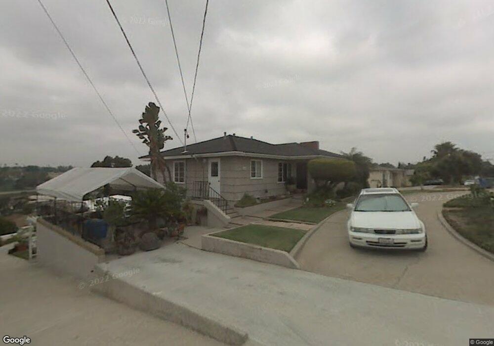
6644 Macarthur Dr Lemon Grove, CA 91945
Broadway Heights NeighborhoodEstimated Value: $644,000 - $790,000
2
Beds
2
Baths
1,050
Sq Ft
$672/Sq Ft
Est. Value
About This Home
This home is located at 6644 Macarthur Dr, Lemon Grove, CA 91945 and is currently estimated at $706,105, approximately $672 per square foot. 6644 Macarthur Dr is a home located in San Diego County with nearby schools including San Miguel Elementary School, Mount Miguel High School, and Helix High School.
Ownership History
Date
Name
Owned For
Owner Type
Purchase Details
Closed on
Feb 2, 2018
Sold by
Duenas Thomas V and Duenas Barbara L
Bought by
Duenas Thomas Victor and Duenas Barbara Lee
Current Estimated Value
Purchase Details
Closed on
Sep 19, 2001
Sold by
Va
Bought by
Duenas Thomas V and Duenas Barbara L
Home Financials for this Owner
Home Financials are based on the most recent Mortgage that was taken out on this home.
Original Mortgage
$60,000
Interest Rate
6.7%
Mortgage Type
Credit Line Revolving
Create a Home Valuation Report for This Property
The Home Valuation Report is an in-depth analysis detailing your home's value as well as a comparison with similar homes in the area
Home Values in the Area
Average Home Value in this Area
Purchase History
| Date | Buyer | Sale Price | Title Company |
|---|---|---|---|
| Duenas Thomas Victor | -- | None Available | |
| Duenas Thomas V | -- | New Century Title Company |
Source: Public Records
Mortgage History
| Date | Status | Borrower | Loan Amount |
|---|---|---|---|
| Previous Owner | Duenas Thomas V | $60,000 |
Source: Public Records
Tax History
| Year | Tax Paid | Tax Assessment Tax Assessment Total Assessment is a certain percentage of the fair market value that is determined by local assessors to be the total taxable value of land and additions on the property. | Land | Improvement |
|---|---|---|---|---|
| 2025 | $7,061 | $175,370 | $60,986 | $114,384 |
| 2024 | $7,061 | $171,933 | $59,791 | $112,142 |
| 2023 | $7,002 | $168,563 | $58,619 | $109,944 |
| 2022 | $6,989 | $165,259 | $57,470 | $107,789 |
| 2021 | $6,958 | $162,020 | $56,344 | $105,676 |
| 2020 | $6,877 | $160,360 | $55,767 | $104,593 |
| 2019 | $6,831 | $157,217 | $54,674 | $102,543 |
| 2018 | $6,768 | $154,135 | $53,602 | $100,533 |
| 2017 | $6,706 | $151,113 | $52,551 | $98,562 |
| 2016 | $6,613 | $148,151 | $51,521 | $96,630 |
| 2015 | $6,611 | $145,927 | $50,748 | $95,179 |
| 2014 | $2,194 | $143,069 | $49,754 | $93,315 |
Source: Public Records
Map
Nearby Homes
- 6333 College Grove Way Unit 5110
- 6333 College Grove Way Unit 6112
- 6333 College Grove Way Unit 12103
- 6333 College Grove Way Unit 4107
- 6333 College Grove Way Unit 11102
- 6333 College Grove Way Unit 13106
- 6855 Radio Dr
- 6964 Mount Vernon St
- 6816 Central Ave Unit 20
- 2371-75 Berry St
- 7065 Berry Park Ln
- 7083 Berry Park Ln
- 2127 Berry St
- 0 Dartmoor Dr Unit 1
- 6556 College Grove Dr Unit 45
- 2673 Massachusetts Ave
- 6233 Thorn St
- 6406-8 Radio Dr
- 2523 Pergl St
- 1519 Arthur Neal Ct
- 6630 Macarthur Dr
- 6650 Macarthur Dr
- 2645 Lindholm Ln
- 6639 San Miguel Ave
- 6632 Macarthur Dr
- 6641 Macarthur Dr
- 6620 Macarthur Dr
- 6629 Macarthur Dr
- 6666 Macarthur Dr
- 2665 Lindholm Ln
- 6621 Macarthur Dr
- 6643 San Miguel Ave Unit 3
- 6643 San Miguel Ave
- 6634 Macarthur Dr
- 6633 San Miguel Ave
- 6631 Risa Ln
- 6610 Macarthur Dr
- 6674 Macarthur Dr
- 2641 Vista Juanita Ct
- 6669 San Miguel Ave