6647 Highway 127 N Crossville, TN 38571
Estimated Value: $108,950 - $259,000
--
Bed
1
Bath
878
Sq Ft
$227/Sq Ft
Est. Value
About This Home
This home is located at 6647 Highway 127 N, Crossville, TN 38571 and is currently estimated at $199,238, approximately $226 per square foot. 6647 Highway 127 N is a home located in Cumberland County with nearby schools including North Cumberland Elementary School, Stone Memorial High School, and Liberty Christian Academy.
Ownership History
Date
Name
Owned For
Owner Type
Purchase Details
Closed on
May 1, 2017
Sold by
Dixon Vernon B
Bought by
Tennessee
Current Estimated Value
Home Financials for this Owner
Home Financials are based on the most recent Mortgage that was taken out on this home.
Interest Rate
4.03%
Purchase Details
Closed on
Mar 13, 2001
Sold by
Dixon Pansy Ann and Dixon Vernon
Bought by
Dixon Vernon B
Purchase Details
Closed on
Sep 2, 1998
Bought by
Dixon Vernon B and Dixon Pansy
Purchase Details
Closed on
Jan 24, 1994
Bought by
Swafford Buster B Le % Vernon Dixon
Create a Home Valuation Report for This Property
The Home Valuation Report is an in-depth analysis detailing your home's value as well as a comparison with similar homes in the area
Home Values in the Area
Average Home Value in this Area
Purchase History
| Date | Buyer | Sale Price | Title Company |
|---|---|---|---|
| Tennessee | -- | -- | |
| Dixon Vernon B | -- | -- | |
| Dixon Vernon B | $500 | -- | |
| Swafford Buster B Le % Vernon Dixon | $20,300 | -- |
Source: Public Records
Mortgage History
| Date | Status | Borrower | Loan Amount |
|---|---|---|---|
| Closed | Swafford Buster B Le % Vernon Dixon | -- |
Source: Public Records
Tax History Compared to Growth
Tax History
| Year | Tax Paid | Tax Assessment Tax Assessment Total Assessment is a certain percentage of the fair market value that is determined by local assessors to be the total taxable value of land and additions on the property. | Land | Improvement |
|---|---|---|---|---|
| 2024 | $225 | $19,850 | $14,700 | $5,150 |
| 2023 | $225 | $19,850 | $0 | $0 |
| 2022 | $225 | $19,850 | $14,700 | $5,150 |
| 2021 | $294 | $18,775 | $14,700 | $4,075 |
| 2020 | $294 | $18,775 | $14,700 | $4,075 |
| 2019 | $294 | $18,775 | $14,700 | $4,075 |
| 2018 | $294 | $18,775 | $14,700 | $4,075 |
| 2017 | $294 | $18,775 | $14,700 | $4,075 |
| 2016 | $286 | $18,750 | $14,700 | $4,050 |
| 2015 | $281 | $18,750 | $14,700 | $4,050 |
| 2014 | $281 | $18,739 | $0 | $0 |
Source: Public Records
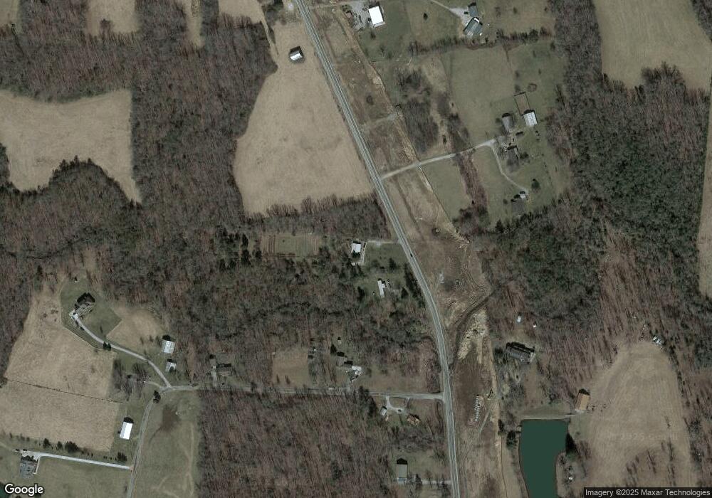
Map
Nearby Homes
- 6808 Highway 127 N
- 3341 Tabor Loop
- Lot 4 Old Tanner Cemetery Rd
- Lot 3 Old Tanner Cemetery Rd
- Lot 2 Old Tanner Cemetery Rd
- Lot 1 Old Tanner Cemetery Rd
- 0 Grace Hill Dr
- 698 Maynard Rd
- 8304 U S 127
- 411 Phipps Rd
- 13 Whittenburg Rd
- 964 Joe Tabor Rd - 5 6 Acres
- 964 Joe Tabor Rd - 7 8 Acres
- 2269 Bowman Loop
- 4529 Highway 127 N
- 4529 Highway 127n
- 6611 Highway 127 N
- 6598 Highway 127 N
- 84 Tate Rd
- 6748 Highway 127 N
- 6704 Highway 127 N
- 200 Tate Rd
- 35 Tate Rd
- 6706 Highway 127 N
- 6388 Highway 127 N
- 6706 U S 127
- 6439 Highway 127 N
- 6860 Highway 127 N
- 6865 Highway 127 N
- 0 Tate Rd Unit 784806
- 6417 Highway 127 N
- 238 Tate Rd
- 6387 Highway 127
- 120 Bowman Loop
- 76 Bowman Loop
- 6347 Highway 127 N