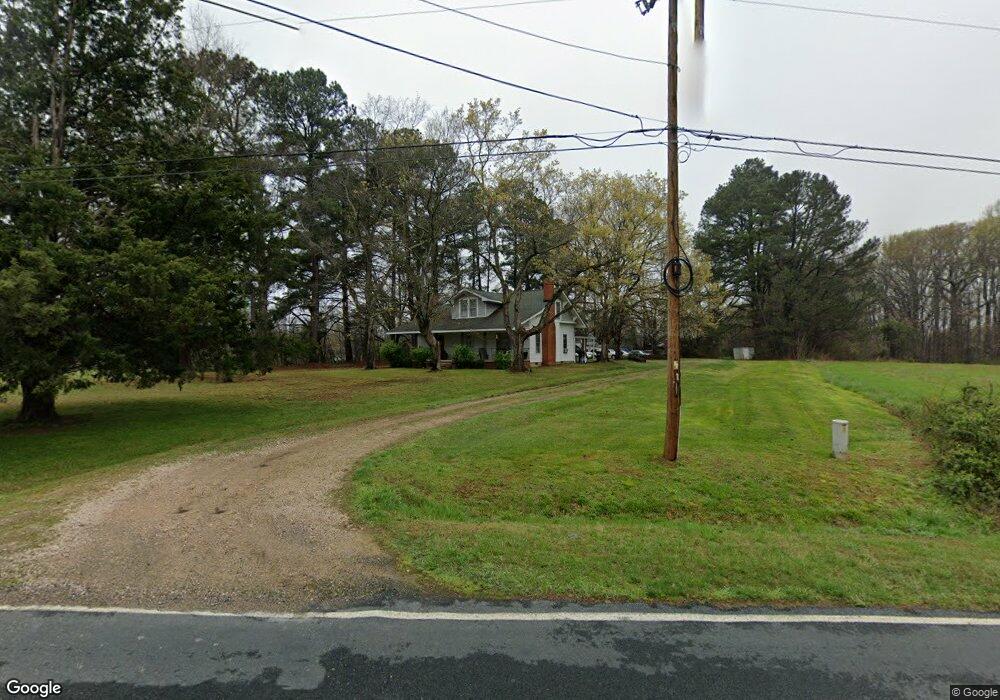
665 Leach Rd Salisbury, NC 28146
Estimated Value: $298,000 - $382,298
--
Bed
1
Bath
1,388
Sq Ft
$245/Sq Ft
Est. Value
About This Home
This home is located at 665 Leach Rd, Salisbury, NC 28146 and is currently estimated at $339,433, approximately $244 per square foot. 665 Leach Rd is a home located in Rowan County with nearby schools including China Grove Elementary School, Southeast Middle School, and Jesse C Carson High School.
Ownership History
Date
Name
Owned For
Owner Type
Purchase Details
Closed on
Jul 13, 2016
Sold by
Rogers John Harold
Bought by
Rogers John Harold and Rogers Heaven Leigh
Current Estimated Value
Purchase Details
Closed on
Dec 3, 2015
Sold by
Rogers John Harold and Rogers Clara Myers
Bought by
Rogers John Harold and Rogers Clara Myers
Purchase Details
Closed on
Aug 15, 2013
Sold by
Rogers Clara Myers
Bought by
Rogers John Harold and Rogers Clara Myers
Create a Home Valuation Report for This Property
The Home Valuation Report is an in-depth analysis detailing your home's value as well as a comparison with similar homes in the area
Home Values in the Area
Average Home Value in this Area
Purchase History
| Date | Buyer | Sale Price | Title Company |
|---|---|---|---|
| Rogers John Harold | -- | None Available | |
| Rogers John Harold | -- | None Available | |
| Rogers John Harold | -- | None Available | |
| Rogers John Harold | -- | None Available |
Source: Public Records
Tax History Compared to Growth
Tax History
| Year | Tax Paid | Tax Assessment Tax Assessment Total Assessment is a certain percentage of the fair market value that is determined by local assessors to be the total taxable value of land and additions on the property. | Land | Improvement |
|---|---|---|---|---|
| 2025 | $1,856 | $277,005 | $228,483 | $48,522 |
| 2024 | $1,856 | $277,005 | $228,483 | $48,522 |
| 2023 | $1,590 | $277,005 | $228,483 | $48,522 |
| 2022 | $1,573 | $240,309 | $206,457 | $33,852 |
| 2021 | $1,783 | $240,309 | $206,457 | $33,852 |
| 2020 | $1,783 | $240,309 | $206,457 | $33,852 |
| 2019 | $1,783 | $240,309 | $206,457 | $33,852 |
| 2018 | $1,744 | $236,988 | $206,456 | $30,532 |
| 2017 | $1,744 | $236,988 | $206,456 | $30,532 |
| 2016 | $1,536 | $236,988 | $206,456 | $30,532 |
| 2015 | $1,559 | $236,988 | $206,456 | $30,532 |
| 2014 | $1,491 | $238,242 | $206,456 | $31,786 |
Source: Public Records
Map
Nearby Homes
- 0 Brookfield Cir Unit CAR4292885
- 0 Ed Weavers Rd
- 1352 Eva Ln
- 6000 S Main St
- 0 Swink Ave
- 355 Swink Ave
- 6255 Meadow Ln
- 6115 Southern Ln
- 1365 Safrit Rd
- 00 Neelytown Rd
- 1925 Mount Hope Church Rd
- 1675 N Main St
- 1140 Peeler Rd
- 1143 Journey Ln
- 850 and 830 E Nc 152 Hwy E
- TA3000 Plan at Kensington
- Hudson Plan at Kensington
- Devin Plan at Kensington
- Bayside Plan at Kensington
- TA4000 Plan at Kensington