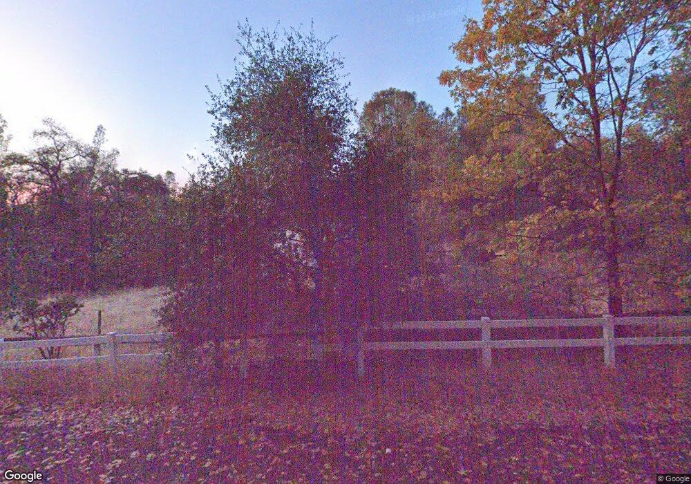
6650 Mosquito Rd Placerville, CA 95667
Estimated Value: $293,000 - $377,942
3
Beds
2
Baths
1,200
Sq Ft
$289/Sq Ft
Est. Value
About This Home
This home is located at 6650 Mosquito Rd, Placerville, CA 95667 and is currently estimated at $346,986, approximately $289 per square foot. 6650 Mosquito Rd is a home located in El Dorado County with nearby schools including El Dorado High School.
Ownership History
Date
Name
Owned For
Owner Type
Purchase Details
Closed on
Jun 13, 1996
Sold by
Grossglauser Carol J
Bought by
Kerins Paul C
Current Estimated Value
Home Financials for this Owner
Home Financials are based on the most recent Mortgage that was taken out on this home.
Original Mortgage
$120,360
Outstanding Balance
$7,865
Interest Rate
8.25%
Mortgage Type
VA
Estimated Equity
$339,121
Create a Home Valuation Report for This Property
The Home Valuation Report is an in-depth analysis detailing your home's value as well as a comparison with similar homes in the area
Home Values in the Area
Average Home Value in this Area
Purchase History
| Date | Buyer | Sale Price | Title Company |
|---|---|---|---|
| Kerins Paul C | $118,000 | Chicago Title Company |
Source: Public Records
Mortgage History
| Date | Status | Borrower | Loan Amount |
|---|---|---|---|
| Open | Kerins Paul C | $120,360 |
Source: Public Records
Tax History
| Year | Tax Paid | Tax Assessment Tax Assessment Total Assessment is a certain percentage of the fair market value that is determined by local assessors to be the total taxable value of land and additions on the property. | Land | Improvement |
|---|---|---|---|---|
| 2025 | $2,200 | $195,991 | $38,190 | $157,801 |
| 2024 | $2,200 | $192,149 | $37,442 | $154,707 |
| 2023 | $2,176 | $188,382 | $36,708 | $151,674 |
| 2022 | $2,147 | $184,689 | $35,989 | $148,700 |
| 2021 | $2,124 | $181,069 | $35,284 | $145,785 |
| 2020 | $2,095 | $179,214 | $34,923 | $144,291 |
| 2019 | $2,071 | $175,701 | $34,239 | $141,462 |
| 2018 | $2,014 | $172,257 | $33,568 | $138,689 |
| 2017 | $1,986 | $168,880 | $32,910 | $135,970 |
| 2016 | $1,958 | $165,569 | $32,265 | $133,304 |
| 2015 | $1,877 | $163,083 | $31,781 | $131,302 |
| 2014 | $1,877 | $159,890 | $31,159 | $128,731 |
Source: Public Records
Map
Nearby Homes
- 6570 Mosquito Rd
- 9030 Orval Beckett Ct
- 2629 Shilo Dr
- 3025 Buckboard Rd
- 2597 Shilo Dr
- 2639 Gold Ct
- 1767 Swansboro Rd
- 3200 1 Eye Creek Rd
- 2227 Swansboro Rd
- 3561 Stope Dr
- 3196 Pine Cone Ct
- 3191 Pine Cone Ct
- 6324 Dickinson Rd
- 6410 Log Cabin Ln
- 1610 Swansboro Rd
- 6560 Log Cabin Ln
- 6843 Log Cabin Ln
- 6101 Keeble Ln
- 3000 Gravel Ct
- 2700 Dancing Oaks Rd
- 2896 Swansboro Rd
- 6618 Mosquito Rd
- 2870 Highgrade St
- 2898 Swansboro Rd
- 6590 Mosquito Rd
- 2878 Swansboro Rd
- 2968 Swansboro Rd
- 2900 Highgrade St
- 2940 Swansboro Rd
- 6685 Mosquito Rd
- 2867 Highgrade St
- 6696 Mosquito Rd
- 6696 Mosquito Rd Unit Studio
- 6696 Mosquito Rd
- 2848 Swansboro Rd
- 3010 Swansboro Rd
- 2919 Highgrade St
- 3060 Swansboro Rd
- 2951 Swansboro Rd
- 2961 Highgrade St
Your Personal Tour Guide
Ask me questions while you tour the home.
