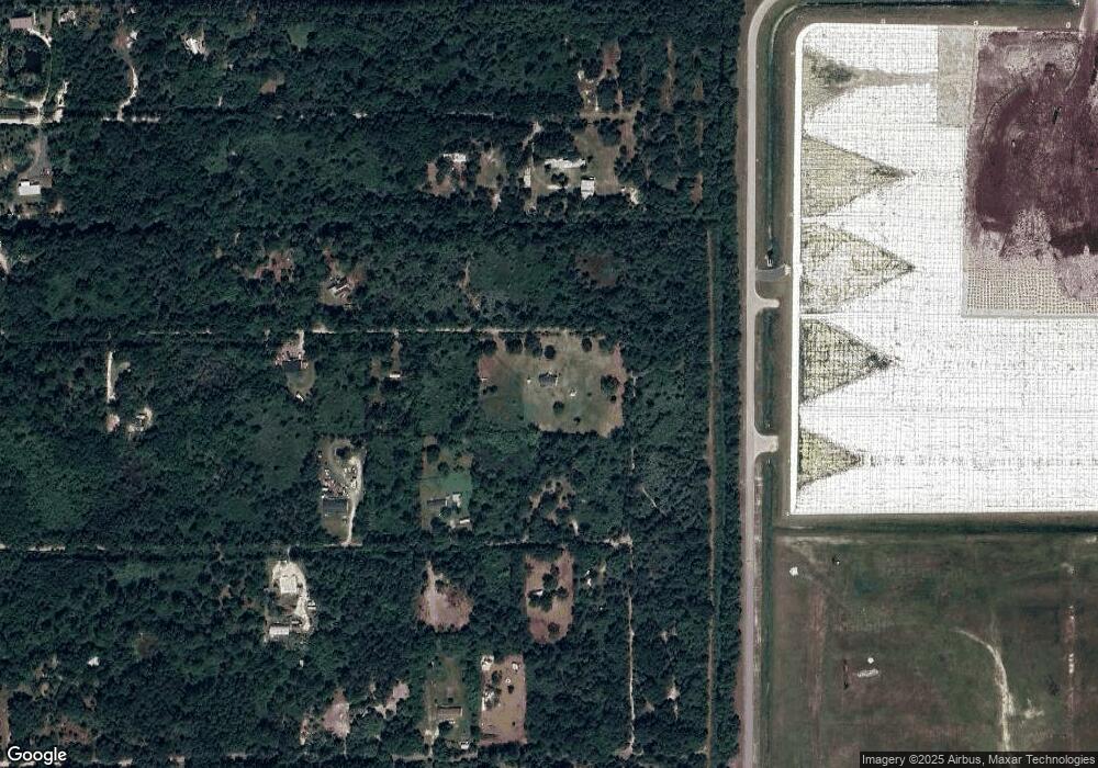
6651 Desert Sands Ave Cocoa, FL 32926
Canaveral Groves NeighborhoodEstimated Value: $254,000 - $380,000
3
Beds
2
Baths
1,248
Sq Ft
$236/Sq Ft
Est. Value
About This Home
This home is located at 6651 Desert Sands Ave, Cocoa, FL 32926 and is currently estimated at $294,655, approximately $236 per square foot. 6651 Desert Sands Ave is a home located in Brevard County with nearby schools including Cocoa High School and Fairglen Elementary School.
Ownership History
Date
Name
Owned For
Owner Type
Purchase Details
Closed on
Aug 26, 2023
Sold by
Martin Charles E
Bought by
Martin Charles E
Current Estimated Value
Purchase Details
Closed on
Feb 10, 1995
Sold by
Martin Denise M
Bought by
Martin Charles E
Create a Home Valuation Report for This Property
The Home Valuation Report is an in-depth analysis detailing your home's value as well as a comparison with similar homes in the area
Home Values in the Area
Average Home Value in this Area
Purchase History
| Date | Buyer | Sale Price | Title Company |
|---|---|---|---|
| Martin Charles E | $100 | None Listed On Document | |
| Martin Charles E | $100 | None Listed On Document | |
| Martin Charles E | -- | -- |
Source: Public Records
Tax History Compared to Growth
Tax History
| Year | Tax Paid | Tax Assessment Tax Assessment Total Assessment is a certain percentage of the fair market value that is determined by local assessors to be the total taxable value of land and additions on the property. | Land | Improvement |
|---|---|---|---|---|
| 2025 | $350 | $153,820 | -- | -- |
| 2024 | $340 | $57,880 | -- | -- |
| 2023 | $340 | $56,200 | $0 | $0 |
| 2022 | $330 | $54,570 | $0 | $0 |
| 2021 | $319 | $52,990 | $0 | $0 |
| 2020 | $274 | $52,260 | $0 | $0 |
| 2019 | $272 | $51,090 | $0 | $0 |
| 2018 | $268 | $50,140 | $0 | $0 |
| 2017 | $260 | $49,110 | $0 | $0 |
| 2016 | $260 | $48,100 | $8,100 | $40,000 |
| 2015 | $248 | $47,770 | $8,100 | $39,670 |
| 2014 | $248 | $47,400 | $8,100 | $39,300 |
Source: Public Records
Map
Nearby Homes
- 0 Satellite Blvd Unit 1054670
- 0 Satellite Blvd Unit 1058307
- 0 Satellite Blvd Unit A4476061
- 0 Satellite Blvd Unit 1060705
- 0 Doug Williams Ave Unit 1047169
- 0 Doug Williams Ave Unit 1054683
- 0 Doug Williams Ave Unit A4476066
- 0 Dyson Ave
- 0 Olkowski Ave Unit 1061805
- 003 Jason Ave
- 0003 Jason Ave
- 00 Olkowski Ave
- 0 Jason Ave
- 0 Mario Ave Unit 1041563
- 0 Burning Tree Ave Unit 1042503
- 0 Key Deer Ave Unit 1043128
- 0 Key Deer Ave Unit 1043121
- 6764 Outback Rd
- 0000 Doug Williams Ave
- 6857 Sharpie Ave
- 0000 Desert Sands Ave
- 0 Dyson Ave Lot:17 Ave Unit 532825
- 0 Dyson Ave Lot:17 Ave Unit 645049
- 0 Giesson Ave
- 6726 Dyson Ave
- 2065 Giessen Ave
- 0 Giessen Ave
- 1 Dyson
- 6647 Suntee Ave
- 0 Dyson Ave Lot:13 Ave Unit 532827
- 2301 Rustic Place
- 6788 Desert Sands Ave
- 6786 Dyson Ave
- 6729 Dyson Ave
- 6821 Desert Sands Ave
- 000 Stephanie Way
- 0 Stephanie Way
- 0 Desert Sands Rd Lot:7 Rd Unit 532772
- 0 Desert Sands Rd Lot:7 Rd Unit 645048
- Na Eureka Ave
