6651 N Branch Rd Grayling, MI 49738
Estimated Value: $164,000 - $375,000
1
Bed
1
Bath
1,248
Sq Ft
$226/Sq Ft
Est. Value
About This Home
This home is located at 6651 N Branch Rd, Grayling, MI 49738 and is currently estimated at $281,966, approximately $225 per square foot. 6651 N Branch Rd is a home located in Crawford County with nearby schools including Grayling Elementary School, Grayling Middle School, and Grayling High School.
Ownership History
Date
Name
Owned For
Owner Type
Purchase Details
Closed on
Nov 1, 2012
Sold by
Roger J Roger J and Phillips Joanne
Bought by
Phillips Roger J
Current Estimated Value
Purchase Details
Closed on
Nov 12, 2001
Sold by
Phillips Roger J and Phillips Joanne
Bought by
Phillips Roger J & Joanne Trust
Purchase Details
Closed on
Oct 18, 1991
Purchase Details
Closed on
Jul 25, 1989
Create a Home Valuation Report for This Property
The Home Valuation Report is an in-depth analysis detailing your home's value as well as a comparison with similar homes in the area
Home Values in the Area
Average Home Value in this Area
Purchase History
| Date | Buyer | Sale Price | Title Company |
|---|---|---|---|
| Phillips Roger J | -- | -- | |
| Phillips Roger J | -- | -- | |
| Phillips Roger J & Joanne Trust | -- | -- | |
| -- | $37,000 | -- | |
| -- | $37,000 | -- |
Source: Public Records
Tax History Compared to Growth
Tax History
| Year | Tax Paid | Tax Assessment Tax Assessment Total Assessment is a certain percentage of the fair market value that is determined by local assessors to be the total taxable value of land and additions on the property. | Land | Improvement |
|---|---|---|---|---|
| 2025 | $1,554 | $111,700 | $17,500 | $94,200 |
| 2024 | $923 | $101,800 | $17,500 | $84,300 |
| 2023 | $883 | $82,800 | $17,500 | $65,300 |
| 2022 | $818 | $79,500 | $17,500 | $62,000 |
| 2021 | $1,325 | $76,300 | $17,500 | $58,800 |
| 2020 | $1,305 | $71,800 | $17,500 | $54,300 |
| 2019 | $1,272 | $70,900 | $17,500 | $53,400 |
| 2018 | $1,252 | $69,800 | $17,500 | $52,300 |
| 2017 | $833 | $73,100 | $17,500 | $55,600 |
| 2016 | $826 | $54,600 | $17,500 | $37,100 |
| 2015 | -- | $54,600 | $0 | $0 |
| 2014 | -- | $59,600 | $0 | $0 |
| 2013 | -- | $59,600 | $0 | $0 |
Source: Public Records
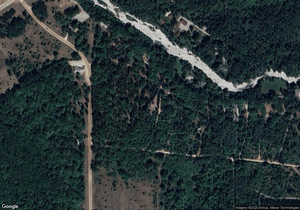
Map
Nearby Homes
- 7286 Smith Trail
- 9222 Twin Bridge Rd
- 000 Witte Trail
- 80 Lovells Rd
- 0 Lovells Rd Unit 1933430
- 11818 Crapo Lake Rd
- V/L 37.79A Hopkins Lodge Trail
- 3123 Lovells Rd
- 3145 Timberlane Trail
- 2676 Kirkland Dr
- 3140 Northeast Trail
- 779 W Co Road 612
- 1830 Dollar Lk Rd
- 126 Long Dr
- 5626 Smith Rd
- 107 Wilburn Ln
- 102 Wolverine Ct
- V/L Grouse Trail
- 532 Fountains Dr
- 526 Fountains Dr
- 6675 N Branch Rd
- 8010 Bald Hill Rd
- 6695 N Branch Rd
- 6717 N Branch Dr
- 8098 Bald Hill Rd
- 6737 N Branch Rd
- 8069 Bald Hill Rd
- 6688 Hawthorn Trail
- 6670 Hawthorn Trail
- 8009 Bald Hill Rd
- 6650 Hawthorn Trail
- 6759 N Branch Rd
- 7317 Bald Hill Rd
- 8156 Bald Hill Rd
- 6628 Hawthorn Trail
- 6775 N Branch Rd
- 6726 Hawthorn Trail
- 6807 N Branch Rd
- 6616 Hawthorn Trail
- 6849 N Branch Rd