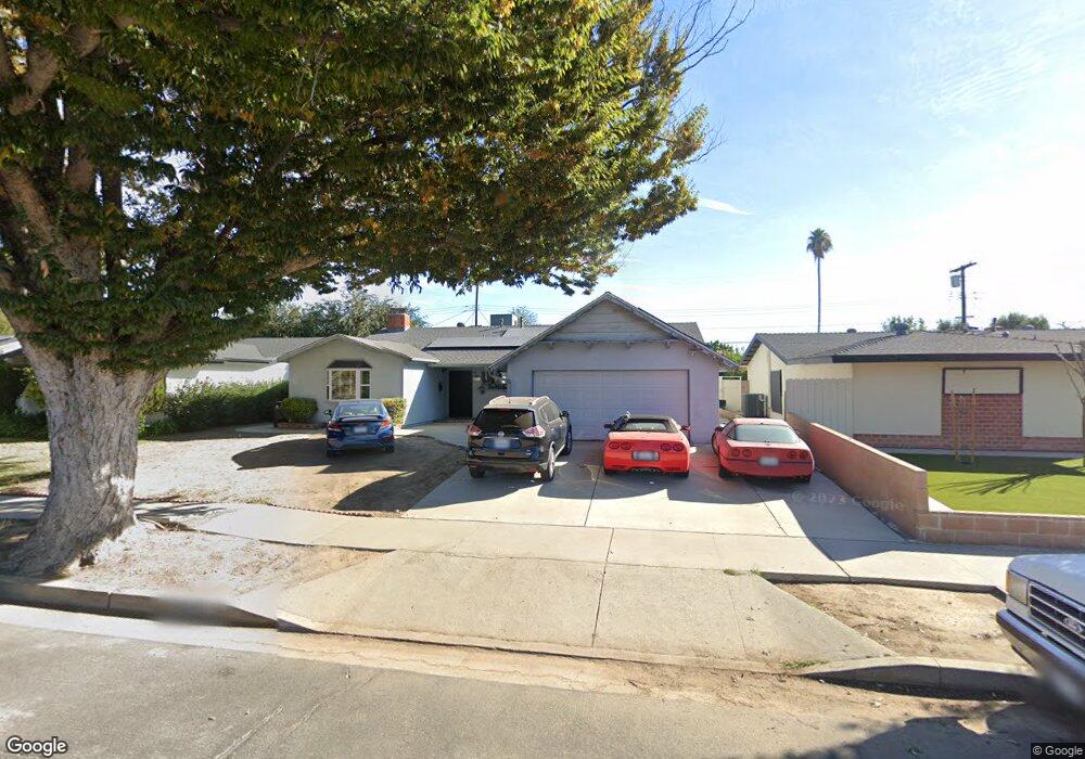
6652 Platt Ave West Hills, CA 91307
Estimated Value: $971,000 - $1,166,000
4
Beds
2
Baths
1,988
Sq Ft
$527/Sq Ft
Est. Value
About This Home
This home is located at 6652 Platt Ave, West Hills, CA 91307 and is currently estimated at $1,047,769, approximately $527 per square foot. 6652 Platt Ave is a home located in Los Angeles County with nearby schools including Haynes Charter For Enriched Studies, Lockhurst Drive Charter Elementary, and Enadia Way Technology Charter.
Ownership History
Date
Name
Owned For
Owner Type
Purchase Details
Closed on
Oct 13, 2020
Sold by
Reynolds Douglas M and Reynolds Judith
Bought by
Reynolds Douglas M and Reynolds Judith
Current Estimated Value
Home Financials for this Owner
Home Financials are based on the most recent Mortgage that was taken out on this home.
Original Mortgage
$490,000
Outstanding Balance
$435,034
Interest Rate
2.8%
Mortgage Type
New Conventional
Estimated Equity
$612,735
Purchase Details
Closed on
Nov 12, 2005
Sold by
Reynolds Douglas M and Reynolds Judy
Bought by
Reynolds Douglas M
Purchase Details
Closed on
Aug 16, 1995
Sold by
Yasharpour Banayahu and Ahdoot Yafa
Bought by
Reynolds Douglas M
Home Financials for this Owner
Home Financials are based on the most recent Mortgage that was taken out on this home.
Original Mortgage
$152,000
Interest Rate
7.63%
Create a Home Valuation Report for This Property
The Home Valuation Report is an in-depth analysis detailing your home's value as well as a comparison with similar homes in the area
Home Values in the Area
Average Home Value in this Area
Purchase History
| Date | Buyer | Sale Price | Title Company |
|---|---|---|---|
| Reynolds Douglas M | -- | Stewart Title Of Ca Inc | |
| Reynolds Douglas M | -- | -- | |
| Reynolds Douglas M | $160,000 | Fidelity Title |
Source: Public Records
Mortgage History
| Date | Status | Borrower | Loan Amount |
|---|---|---|---|
| Open | Reynolds Douglas M | $490,000 | |
| Closed | Reynolds Douglas M | $152,000 |
Source: Public Records
Tax History Compared to Growth
Tax History
| Year | Tax Paid | Tax Assessment Tax Assessment Total Assessment is a certain percentage of the fair market value that is determined by local assessors to be the total taxable value of land and additions on the property. | Land | Improvement |
|---|---|---|---|---|
| 2025 | $4,658 | $364,421 | $133,718 | $230,703 |
| 2024 | $4,658 | $357,277 | $131,097 | $226,180 |
| 2023 | $4,573 | $350,273 | $128,527 | $221,746 |
| 2022 | $4,371 | $343,406 | $126,007 | $217,399 |
| 2021 | $4,309 | $336,674 | $123,537 | $213,137 |
| 2019 | $4,185 | $326,690 | $119,874 | $206,816 |
| 2018 | $4,025 | $320,285 | $117,524 | $202,761 |
| 2016 | $3,830 | $307,850 | $112,961 | $194,889 |
| 2015 | $3,775 | $303,227 | $111,265 | $191,962 |
| 2014 | $3,794 | $297,288 | $109,086 | $188,202 |
Source: Public Records
Map
Nearby Homes
- 6670 Platt Ave
- 6820 Gross Ave
- 6416 Kenwater Place
- 23549 Victory Blvd Unit 21
- 23928 Archwood St
- 23432 Victory Blvd
- 23320 Bassett St
- 6814 Berquist Ave
- 23335 Schoolcraft St
- 6236 Kenwater Ave
- 6227 Glide Ave
- 7031 Deveron Ridge Rd
- 23232 Hartland St
- 6172 Dalecrest Ave
- 7024 Middlesbury Ridge Cir
- 23238 Victory Blvd
- 24224 Welby Way
- 6531 Neddy Ave
- 24206 Saint Edens Cir
- 24017 Sylvan St
- 6658 Platt Ave
- 6644 Platt Ave
- 6651 Birchton Ave
- 6664 Platt Ave
- 6638 Platt Ave
- 6657 Birchton Ave
- 6645 Birchton Ave
- 6665 Birchton Ave
- 6639 Birchton Ave
- 6632 Platt Ave
- 6671 Birchton Ave
- 6633 Birchton Ave
- 6676 Platt Ave
- 6626 Platt Ave
- 6677 Birchton Ave
- 6627 Birchton Ave
- 23700 Archwood St
- 6650 Birchton Ave
- 6656 Birchton Ave
- 6644 Birchton Ave