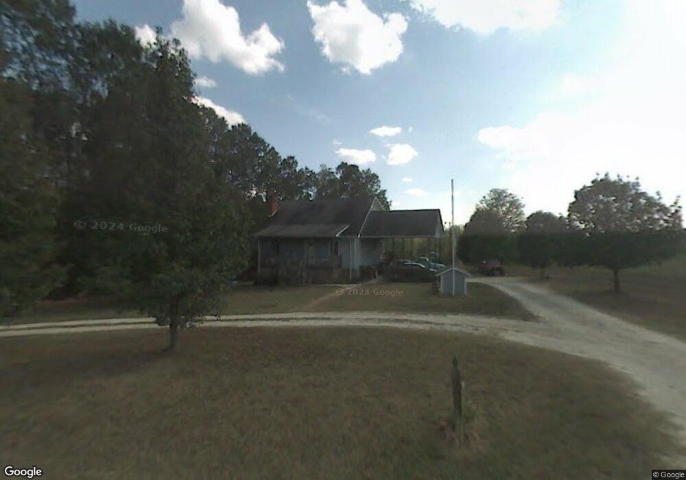
6654 Red Robin Ln High Point, NC 27263
Estimated Value: $288,000 - $318,949
Studio
2
Baths
1,690
Sq Ft
$176/Sq Ft
Est. Value
About This Home
This home is located at 6654 Red Robin Ln, High Point, NC 27263 and is currently estimated at $298,237, approximately $176 per square foot. 6654 Red Robin Ln is a home located in Randolph County with nearby schools including John R. Lawrence Elementary School, Wheatmore Middle School, and Trinity High School.
Ownership History
Date
Name
Owned For
Owner Type
Purchase Details
Closed on
Nov 9, 2005
Sold by
Gammons Jessie and Gammons Bobby
Bought by
Gammons Ricky Lee and Gammons Peggy H
Current Estimated Value
Home Financials for this Owner
Home Financials are based on the most recent Mortgage that was taken out on this home.
Original Mortgage
$140,000
Outstanding Balance
$81,224
Interest Rate
7.12%
Mortgage Type
New Conventional
Estimated Equity
$217,013
Purchase Details
Closed on
Jan 2, 2004
Sold by
Kearns Mamie Toomes
Bought by
Gammons Ricky Lee and Gammons Peggy H
Create a Home Valuation Report for This Property
The Home Valuation Report is an in-depth analysis detailing your home's value as well as a comparison with similar homes in the area
Home Values in the Area
Average Home Value in this Area
Purchase History
| Date | Buyer | Sale Price | Title Company |
|---|---|---|---|
| Gammons Ricky Lee | -- | None Available | |
| Gammons Ricky Lee | $5,000 | -- |
Source: Public Records
Mortgage History
| Date | Status | Borrower | Loan Amount |
|---|---|---|---|
| Open | Gammons Ricky Lee | $140,000 |
Source: Public Records
Tax History
| Year | Tax Paid | Tax Assessment Tax Assessment Total Assessment is a certain percentage of the fair market value that is determined by local assessors to be the total taxable value of land and additions on the property. | Land | Improvement |
|---|---|---|---|---|
| 2025 | $1,704 | $233,300 | $86,500 | $146,800 |
| 2024 | $1,680 | $233,300 | $86,500 | $146,800 |
| 2023 | $1,680 | $233,300 | $86,500 | $146,800 |
| 2022 | $1,393 | $159,170 | $53,320 | $105,850 |
| 2021 | $1,393 | $159,170 | $53,320 | $105,850 |
| 2020 | $1,381 | $159,170 | $53,320 | $105,850 |
| 2019 | $1,381 | $159,170 | $53,320 | $105,850 |
| 2018 | $1,379 | $153,050 | $53,520 | $99,530 |
| 2016 | $1,338 | $153,047 | $53,520 | $99,527 |
| 2015 | $1,342 | $153,047 | $53,520 | $99,527 |
| 2014 | $1,342 | $153,047 | $53,520 | $99,527 |
Source: Public Records
Map
Nearby Homes
- 0 Harlow Rd
- 6955 Harlow Dr
- 0 Suits Rd
- 6111 Appletree Ct
- 6912 Harlow Dr
- 6071 Weant Rd
- 7002 Cruthis Rd
- 6007 Checker Rd
- 6047 Suits Rd
- 0 Tom Ball Rd
- 115 Lindsay Dr
- 0 Waterbury Dr
- 100 Lindsay Dr
- 0 Old Cedar Square Rd
- 0-B Us Highway 311
- 308 Belgian Dr
- 5590 Old Cedar Square Rd
- 9256 Us Highway 311
- 105 Oak Ridge Dr
- 9622 Us Highway 311
- 6720 Red Robin Ln
- 6689 Red Robin Ln
- 6713 Red Robin Ln
- 6724 Red Robin Ln
- 6727 Red Robin Ln
- 6586 Red Robin Ln
- 6773 Muddy Creek Rd
- 6747 Muddy Creek Rd
- 6731 Muddy Creek Rd
- 2873 Tuttle Rd
- 6673 Muddy Creek Rd
- 6682 Muddy Creek Rd
- 6714 Muddy Creek Rd
- 6802 Muddy Creek Rd
- 2753 Tuttle Rd
- 6785 Red Robin Ln
- 2784 Kinley Trail
- 2786 Kinley Trail
- 6832 Muddy Creek Rd
- 8821 Harlow Rd
Your Personal Tour Guide
Ask me questions while you tour the home.