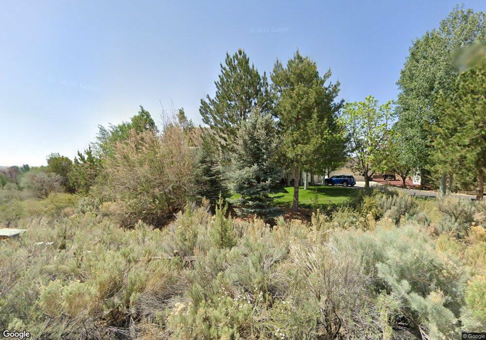
6655 High Point Dr Farmington, NM 87402
Estimated Value: $567,000 - $781,436
--
Bed
--
Bath
2,934
Sq Ft
$236/Sq Ft
Est. Value
About This Home
This home is located at 6655 High Point Dr, Farmington, NM 87402 and is currently estimated at $693,859, approximately $236 per square foot. 6655 High Point Dr is a home located in San Juan County with nearby schools including Country Club Elementary School, Heights Middle School, and Piedra Vista High School.
Ownership History
Date
Name
Owned For
Owner Type
Purchase Details
Closed on
Jan 11, 2023
Sold by
Elizabeth Ann Lockmiller and Elizabeth John Harold
Bought by
Craig And Kacie Nelson Trust
Current Estimated Value
Purchase Details
Closed on
Oct 13, 2022
Sold by
Lockmiller John H and Lockmiller Elizabeth
Bought by
Elizabeth Ann Lockmiller and Elizabeth John Harold
Purchase Details
Closed on
Oct 15, 2020
Sold by
Wagoner David E and Wagoner Cynthia A
Bought by
Wagoner David E and Wagoner Cynthia A
Purchase Details
Closed on
Sep 8, 2011
Sold by
Tufly Jerald R and Tufly Rochelle E
Bought by
Tufly Jerald R and Tufly Rochelle E
Create a Home Valuation Report for This Property
The Home Valuation Report is an in-depth analysis detailing your home's value as well as a comparison with similar homes in the area
Home Values in the Area
Average Home Value in this Area
Purchase History
| Date | Buyer | Sale Price | Title Company |
|---|---|---|---|
| Craig And Kacie Nelson Trust | -- | -- | |
| Elizabeth Ann Lockmiller | -- | None Listed On Document | |
| Wagoner David E | -- | None Available | |
| Tufly Jerald R | -- | None Available |
Source: Public Records
Tax History Compared to Growth
Tax History
| Year | Tax Paid | Tax Assessment Tax Assessment Total Assessment is a certain percentage of the fair market value that is determined by local assessors to be the total taxable value of land and additions on the property. | Land | Improvement |
|---|---|---|---|---|
| 2024 | $5,405 | $225,696 | $0 | $0 |
| 2023 | $5,318 | $128,464 | $0 | $0 |
| 2022 | $2,998 | $124,723 | $0 | $0 |
| 2021 | $2,888 | $121,090 | $0 | $0 |
| 2020 | $2,895 | $121,710 | $0 | $0 |
| 2019 | $2,877 | $121,578 | $0 | $0 |
| 2018 | $2,976 | $129,231 | $0 | $0 |
| 2017 | $2,964 | $123,364 | $0 | $0 |
| 2016 | $2,817 | $125,689 | $0 | $0 |
| 2015 | $2,770 | $125,689 | $0 | $0 |
| 2014 | $2,820 | $124,228 | $0 | $0 |
Source: Public Records
Map
Nearby Homes
- 6735 Sandrock Ct
- 6730 Sandrock Ct
- 6726 Sandrock Ct
- 6734 Sandrock Ct
- 6731 Sandrock Ct
- 6727 Sandrock Ct
- 6722 Sandrock Ct
- 6723 Sandrock Ct
- 6718 Sandrock Ct
- 6715 Sandrock Ct
- 6711 Sandrock Ct
- 6707 Sandrock Ct
- 6719 Sandrock Ct
- 7121 Dellwood Ct
- 6600 Big Cedar Rd
- 6711 Big Cedar Rd
- 6719 Big Cedar Rd
- 6710 Big Cedar Rd
- 6722 Big Cedar Rd
- 6511 Big Cedar Rd
- 6635 High Point Dr
- 6925 High Point Dr
- 6725 High Point Dr
- XYZ Jack Rabbit Jct
- 6720 High Point Dr
- 6710 High Point Dr
- 6630 High Point Dr
- 6810 High Point Dr
- 6525 High Point Dr
- 6525 Lakewood Dr
- 6825 High Point Dr
- 6510 High Point Dr
- 6910 High Point Dr
- 6320 High Point Dr
- 6501 Lakewood Dr
- 7100 Dellwood Ct
- 6920 High Point Dr
- 6430 High Point Dr
- 7105 Dellwood Ct
- 7100 Driftwood Dr