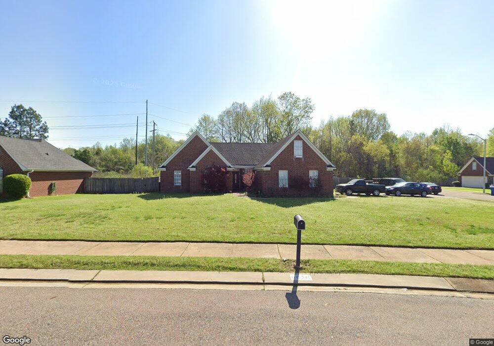
6656 Branch Rd S Olive Branch, MS 38654
Estimated Value: $241,000 - $261,000
4
Beds
2
Baths
1,826
Sq Ft
$138/Sq Ft
Est. Value
About This Home
This home is located at 6656 Branch Rd S, Olive Branch, MS 38654 and is currently estimated at $251,245, approximately $137 per square foot. 6656 Branch Rd S is a home located in DeSoto County with nearby schools including Olive Branch Elementary School, Chickasaw Elementary School, and Olive Branch Middle School.
Ownership History
Date
Name
Owned For
Owner Type
Purchase Details
Closed on
Sep 12, 2025
Sold by
Dees Michael
Bought by
Dees Michael and Dees Kelly Camille
Current Estimated Value
Purchase Details
Closed on
Sep 27, 2019
Sold by
Ellis Steven Robert and Ellis Jessica Louise
Bought by
Dees Michael
Home Financials for this Owner
Home Financials are based on the most recent Mortgage that was taken out on this home.
Original Mortgage
$170,848
Interest Rate
3.5%
Mortgage Type
FHA
Create a Home Valuation Report for This Property
The Home Valuation Report is an in-depth analysis detailing your home's value as well as a comparison with similar homes in the area
Home Values in the Area
Average Home Value in this Area
Purchase History
| Date | Buyer | Sale Price | Title Company |
|---|---|---|---|
| Dees Michael | -- | None Listed On Document | |
| Dees Michael | -- | Select Title & Escrow Llc |
Source: Public Records
Mortgage History
| Date | Status | Borrower | Loan Amount |
|---|---|---|---|
| Previous Owner | Dees Michael | $170,848 |
Source: Public Records
Tax History Compared to Growth
Tax History
| Year | Tax Paid | Tax Assessment Tax Assessment Total Assessment is a certain percentage of the fair market value that is determined by local assessors to be the total taxable value of land and additions on the property. | Land | Improvement |
|---|---|---|---|---|
| 2024 | $1,473 | $10,795 | $2,000 | $8,795 |
| 2023 | $1,473 | $10,795 | $0 | $0 |
| 2022 | $1,473 | $10,795 | $2,000 | $8,795 |
| 2021 | $1,473 | $10,795 | $2,000 | $8,795 |
| 2020 | $1,377 | $10,086 | $2,000 | $8,086 |
| 2019 | $1,077 | $10,086 | $2,000 | $8,086 |
| 2017 | $1,051 | $17,692 | $9,846 | $7,846 |
| 2016 | $1,051 | $9,846 | $2,000 | $7,846 |
| 2015 | $1,351 | $17,692 | $9,846 | $7,846 |
| 2014 | $1,102 | $10,221 | $0 | $0 |
| 2013 | $1,096 | $10,221 | $0 | $0 |
Source: Public Records
Map
Nearby Homes
- 6716 Branch Rd S
- 6729 Branch Rd S
- 10625 Kristen Dr
- 10155 Riggan Dr
- 10335 Yates Dr
- 10862 Wiseman Dr
- 10227 Williford Dr
- 6741 Hacks Cross Rd
- 10475 Courtney Cove
- 10101 Stephenson Ln
- 9919 Adina Cove
- 9745 Riggan Dr
- 9821 Morgan Manor Dr
- 9800 Cherokee Dr
- 9759 Pigeon Roost Park Cir
- 6825 Charlotte Dr
- 6041 Allen Pkwy W
- LOT 3 Old Goodman Rd
- 10082 Lacey Dr
- 7582 Fox Hunt Dr E
- 6656 Branch Rd S
- 6668 Branch Rd S
- 6686 Branch Rd S
- 10587 Riggan Dr
- 10575 Riggan Dr
- 6657 Branch Rd S
- 6669 Branch Rd S
- 6681 Branch Rd S
- 6692 Branch Rd S
- 10557 Riggan Dr
- 6614 Branch Rd S
- 6693 Branch Rd S
- 6611 Grant Cove
- 6704 Branch Rd S
- 6704 Branch Rd S
- 6653 Branch Estates Dr
- 10539 Riggan Dr
- 6664 Branch Estates Dr
- 6599 Grant Cove
- 6705 Branch Rd