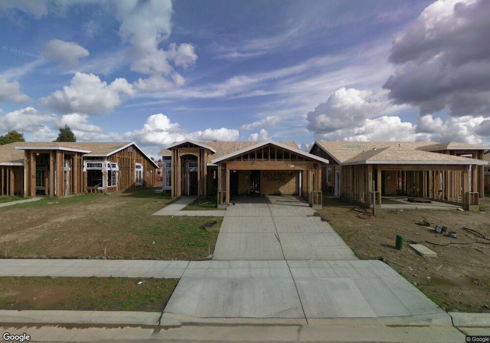
6656 N Katy Ln Fresno, CA 93722
Fig Garden Loop NeighborhoodEstimated Value: $405,608 - $442,000
4
Beds
2
Baths
1,644
Sq Ft
$259/Sq Ft
Est. Value
About This Home
This home is located at 6656 N Katy Ln, Fresno, CA 93722 and is currently estimated at $426,152, approximately $259 per square foot. 6656 N Katy Ln is a home located in Fresno County with nearby schools including H. Roger Tatarian Elementary School, Tenaya Middle School, and Bullard High School.
Ownership History
Date
Name
Owned For
Owner Type
Purchase Details
Closed on
May 31, 2011
Sold by
Reno Sun Llc
Bought by
Drigpal Sunil and Drigpal Poonam
Current Estimated Value
Home Financials for this Owner
Home Financials are based on the most recent Mortgage that was taken out on this home.
Original Mortgage
$145,349
Outstanding Balance
$100,763
Interest Rate
4.75%
Mortgage Type
FHA
Estimated Equity
$325,389
Purchase Details
Closed on
Jan 19, 2011
Sold by
Cathay Bank
Bought by
Reno Sun Llc
Purchase Details
Closed on
Sep 22, 2010
Sold by
Lb/L Ds Ventures Fresno Llc
Bought by
Cathay Bank
Create a Home Valuation Report for This Property
The Home Valuation Report is an in-depth analysis detailing your home's value as well as a comparison with similar homes in the area
Home Values in the Area
Average Home Value in this Area
Purchase History
| Date | Buyer | Sale Price | Title Company |
|---|---|---|---|
| Drigpal Sunil | $160,000 | Old Republic Title Company | |
| Reno Sun Llc | $395,000 | Old Republic Title Company | |
| Cathay Bank | -- | Chicago Title Co |
Source: Public Records
Mortgage History
| Date | Status | Borrower | Loan Amount |
|---|---|---|---|
| Open | Drigpal Sunil | $145,349 |
Source: Public Records
Tax History Compared to Growth
Tax History
| Year | Tax Paid | Tax Assessment Tax Assessment Total Assessment is a certain percentage of the fair market value that is determined by local assessors to be the total taxable value of land and additions on the property. | Land | Improvement |
|---|---|---|---|---|
| 2025 | $2,819 | $204,843 | $44,833 | $160,010 |
| 2023 | $2,752 | $196,891 | $43,093 | $153,798 |
| 2022 | $2,707 | $193,032 | $42,249 | $150,783 |
| 2021 | $2,602 | $189,248 | $41,421 | $147,827 |
| 2020 | $2,583 | $187,309 | $40,997 | $146,312 |
| 2019 | $2,510 | $183,638 | $40,194 | $143,444 |
| 2018 | $2,459 | $180,038 | $39,406 | $140,632 |
| 2017 | $2,413 | $176,509 | $38,634 | $137,875 |
| 2016 | $2,333 | $173,049 | $37,877 | $135,172 |
| 2015 | $2,296 | $170,451 | $37,309 | $133,142 |
| 2014 | $2,254 | $167,113 | $36,579 | $130,534 |
Source: Public Records
Map
Nearby Homes
- 6508 N Lodi Ave
- 6542 N Brix Ave
- 4386 W Magill Ave
- 4650 W Chennault Ave
- 6484 N Pima Ave
- 5191 W Wathen Ave
- 6413 N Pima Ave
- 6430 N Pima Ave
- 6296 N Lodi Ave
- 4229 W Palo Alto Ave
- 4257 W Menlo Ave
- 5332 W Millbrae Ave
- 6583 N State Ave
- 4968 W Pinedale Ave
- 6174 N Tracy Ave
- 6294 W Northdale Ave
- 5567 W Magill Ave
- 3767 W Los Altos Ave
- 6324 N Wheeler Ave
- 7285 N San Pedro Ave
- 6664 N Katy Ln
- 6650 N Katy Ln
- 6644 N Katy Ln
- 6672 N Katy Ln
- 4739 W Magill Ave
- 4740 W Fremont Ave
- 6638 N Katy Ln
- 4584 W Palo Alto Ave Unit 208
- 4584 W Palo Alto Ave Unit 207
- 4584 W Palo Alto Ave Unit 206
- 4584 W Palo Alto Ave Unit 205
- 4584 W Palo Alto Ave Unit 201
- 4584 W Palo Alto Ave Unit 202
- 4584 W Palo Alto Ave Unit 203
- 4584 W Palo Alto Ave Unit 204
- 4584 W Palo Alto Ave Unit 108
- 4584 W Palo Alto Ave Unit 107
- 4584 W Palo Alto Ave Unit 106
- 4584 W Palo Alto Ave Unit 105
- 4584 W Palo Alto Ave Unit 101