Estimated Value: $78,000 - $160,000
3
Beds
2
Baths
1,448
Sq Ft
$83/Sq Ft
Est. Value
About This Home
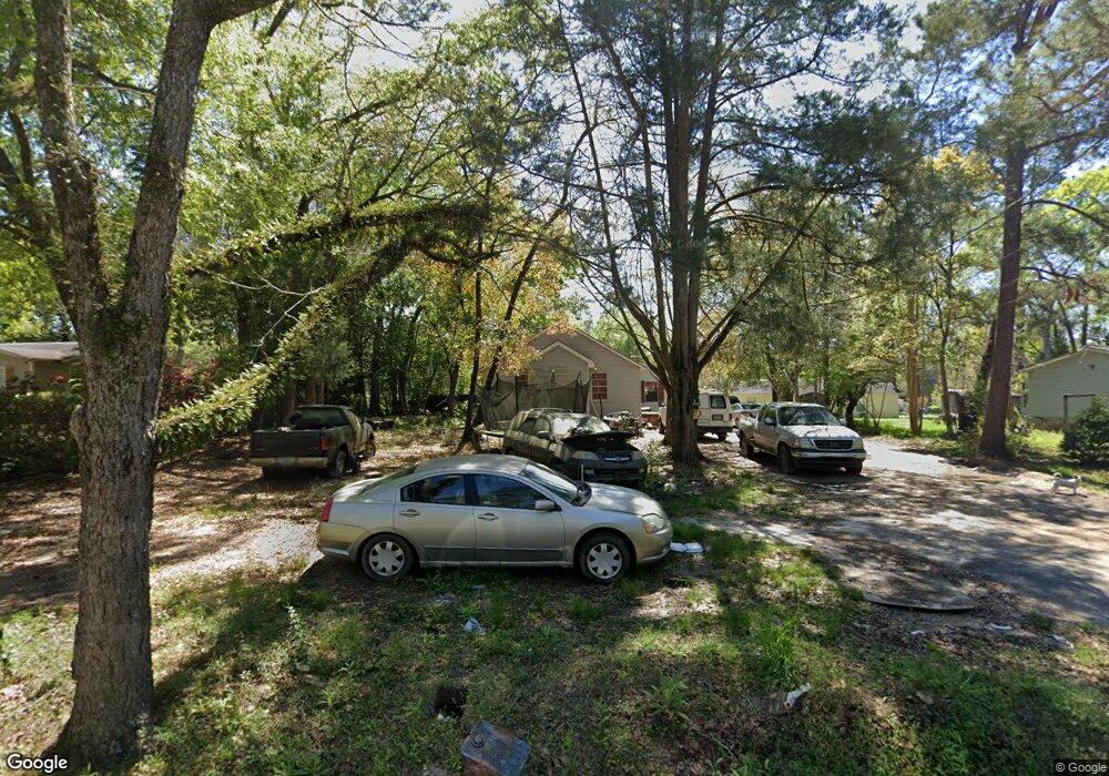
This home is located at 666 12th Ave NE, Cairo, GA 39828 and is currently estimated at $120,841, approximately $83 per square foot. 666 12th Ave NE is a home located in Grady County with nearby schools including Cairo High School.
Ownership History
Date
Name
Owned For
Owner Type
Purchase Details
Closed on
Feb 20, 2020
Sold by
Robinson Janice Marie
Bought by
Torres Jesse Andrew
Current Estimated Value
Home Financials for this Owner
Home Financials are based on the most recent Mortgage that was taken out on this home.
Original Mortgage
$3,000
Outstanding Balance
$2,700
Interest Rate
4.5%
Mortgage Type
New Conventional
Estimated Equity
$118,141
Purchase Details
Closed on
Feb 6, 2018
Sold by
Robinson Janice Marie
Bought by
Doss Bryan Andrew
Purchase Details
Closed on
Feb 5, 2015
Sold by
Robinson Martha
Bought by
Robinson Janice Marie and Williams Angelia Denise
Purchase Details
Closed on
Jun 16, 1995
Bought by
Robinson Martha
Create a Home Valuation Report for This Property
The Home Valuation Report is an in-depth analysis detailing your home's value as well as a comparison with similar homes in the area
Home Values in the Area
Average Home Value in this Area
Purchase History
| Date | Buyer | Sale Price | Title Company |
|---|---|---|---|
| Torres Jesse Andrew | -- | -- | |
| Doss Bryan Andrew | $1,128 | -- | |
| Robinson Janice Marie | -- | -- | |
| Robinson Martha | $5,000 | -- |
Source: Public Records
Mortgage History
| Date | Status | Borrower | Loan Amount |
|---|---|---|---|
| Open | Torres Jesse Andrew | $3,000 |
Source: Public Records
Tax History Compared to Growth
Tax History
| Year | Tax Paid | Tax Assessment Tax Assessment Total Assessment is a certain percentage of the fair market value that is determined by local assessors to be the total taxable value of land and additions on the property. | Land | Improvement |
|---|---|---|---|---|
| 2024 | $1,231 | $31,194 | $2,320 | $28,874 |
| 2023 | $903 | $24,388 | $3,400 | $20,988 |
| 2022 | $689 | $24,388 | $3,400 | $20,988 |
| 2021 | $942 | $24,388 | $3,400 | $20,988 |
| 2020 | $944 | $24,388 | $3,400 | $20,988 |
| 2019 | $944 | $24,388 | $3,400 | $20,988 |
| 2018 | $897 | $24,388 | $3,400 | $20,988 |
| 2017 | $743 | $24,388 | $3,400 | $20,988 |
| 2016 | $743 | $20,534 | $3,400 | $17,134 |
| 2015 | $736 | $20,534 | $3,400 | $17,134 |
| 2014 | $736 | $20,534 | $3,400 | $17,134 |
| 2013 | -- | $18,547 | $3,400 | $15,147 |
Source: Public Records
Map
Nearby Homes
- 00 NW 9th Ave
- 2975 U S 84
- 711 2nd Ave NE
- Lot #15, 3 64 Acres Oakbend Cir
- 4761 Hadley Ferry Rd
- 0 20th St NE
- 00 20th St NE
- 00 State Route 188
- 0 State Route 188
- 1420 Parallel Dr NW
- 125 6th Ave NW
- 00 00 Hwy 111 South Tract 2
- 220 8th Ave NW
- 000 15th Ave Nw -- Tract 2
- 000 15th Ave Nw -- Tract 1
- X 1st St
- 00 Hwy 111 South Tract 1
- 316,322 NW 1st St + Lot
- 0 1st St
- 00 6th St NW
- 908 12th Ave NE
- 605 11th Ave NE
- 601 11th Ave NE
- 909 12th Ave Ne & 1298 Hwy 188 N
- 909 12th Ave NE
- 590 12th Ave NE
- 590 12th Ave NE
- 595 11th Ave NE
- 655 12th Ave NE
- 606 11th Ave NE
- 580 12th Ave NE
- 590 11th Ave NE
- 965 11th Ave NE
- 1010 12th Ave NE
- 575 11th Ave NE
- 609 10th Ave NE
- 580 11th Ave NE
- 570 12th Ave NE
- 595 10th Ave NE
- 615 10th Ave NE