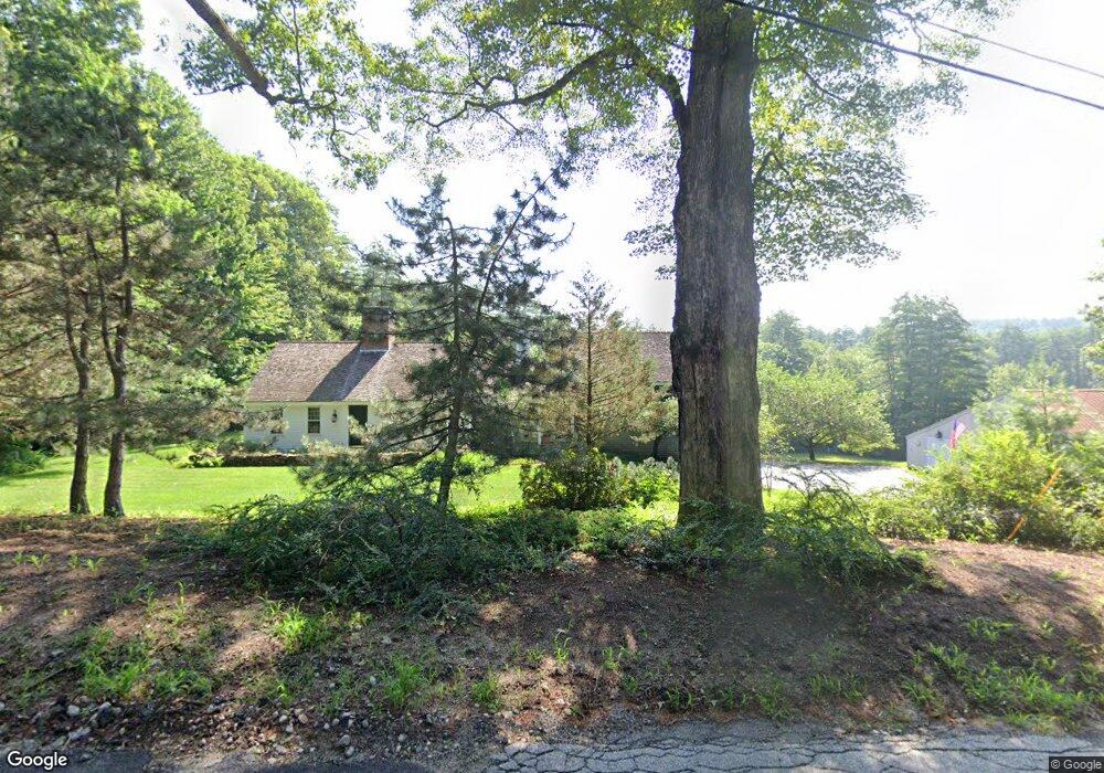
666 Briar Hill Rd Contoocook, NH 03229
Estimated Value: $895,000 - $1,189,000
4
Beds
3
Baths
4,357
Sq Ft
$228/Sq Ft
Est. Value
About This Home
This home is located at 666 Briar Hill Rd, Contoocook, NH 03229 and is currently estimated at $991,278, approximately $227 per square foot. 666 Briar Hill Rd is a home located in Merrimack County with nearby schools including Harold Martin School and Hopkinton Middle School.
Ownership History
Date
Name
Owned For
Owner Type
Purchase Details
Closed on
Oct 16, 2024
Sold by
Jill C Wilson Ret and Wilson
Bought by
Wilson Ft and Wilson
Current Estimated Value
Purchase Details
Closed on
Aug 26, 1997
Sold by
Marden Nancy K
Bought by
Wilson Ret Jill C
Home Financials for this Owner
Home Financials are based on the most recent Mortgage that was taken out on this home.
Original Mortgage
$250,000
Interest Rate
7.42%
Mortgage Type
Purchase Money Mortgage
Create a Home Valuation Report for This Property
The Home Valuation Report is an in-depth analysis detailing your home's value as well as a comparison with similar homes in the area
Home Values in the Area
Average Home Value in this Area
Purchase History
| Date | Buyer | Sale Price | Title Company |
|---|---|---|---|
| Wilson Ft | -- | None Available | |
| Wilson Ft | -- | None Available | |
| Wilson Ret Jill C | $350,000 | -- | |
| Wilson Ret Jill C | $350,000 | -- |
Source: Public Records
Mortgage History
| Date | Status | Borrower | Loan Amount |
|---|---|---|---|
| Previous Owner | Wilson Ret Jill C | $250,000 |
Source: Public Records
Tax History Compared to Growth
Tax History
| Year | Tax Paid | Tax Assessment Tax Assessment Total Assessment is a certain percentage of the fair market value that is determined by local assessors to be the total taxable value of land and additions on the property. | Land | Improvement |
|---|---|---|---|---|
| 2024 | $18,423 | $841,600 | $189,800 | $651,800 |
| 2023 | $16,890 | $482,300 | $106,200 | $376,100 |
| 2022 | $15,554 | $482,300 | $106,200 | $376,100 |
| 2020 | $14,172 | $484,500 | $106,200 | $378,300 |
| 2019 | $14,109 | $484,500 | $106,200 | $378,300 |
| 2018 | $13,893 | $399,900 | $77,700 | $322,200 |
| 2017 | $13,713 | $399,900 | $77,700 | $322,200 |
| 2016 | $12,695 | $378,400 | $77,700 | $300,700 |
| 2015 | $12,722 | $378,400 | $77,700 | $300,700 |
| 2014 | $12,321 | $378,400 | $77,700 | $300,700 |
| 2013 | $11,358 | $395,200 | $106,600 | $288,600 |
Source: Public Records
Map
Nearby Homes
- 0 Bound Tree Rd Unit 50 5060705
- 89 Old Henniker Rd
- 102 Fieldstone Rd
- 38 Woodwells Garrison Rd
- 656 Dolly Rd
- 455 Maple St
- 541 South Rd
- 256 Irish Hill Rd
- 108 Maple St
- 148 Broad Cove Dr
- 0 George Rd Unit 30
- 464 Irish Hill Rd
- 356 E Penacook Rd
- 104 River Grant Dr
- 256-0-17 Jewett Rd
- 0 Farrington Corner Rd Unit 14
- 155 Pamela Dr
- 106 Stacey Dr
- 7 Currier Rd
- 93-1 Pine St
- 643 Briar Hill Rd
- 675 Briar Hill Rd
- 576 Briar Hill Rd
- 579 Briar Hill Rd
- 101 Patch Rd
- 549 Briar Hill Rd
- 00 Patch Rd
- 31 Willoughby Rd
- 211 Patch Rd
- 525 Briar Hill Rd
- 54 Willoughby Rd
- 522 Briar Hill Rd
- 0 Briar Hill Rd Unit 4193006
- 0 Briar Hill Rd Unit 50 4893529
- 0 Briar Hill Rd Unit 49 and 001 4893531
- 0 Briar Hill Rd Unit 49, 01 and 050
- 58 Willoughby Rd
- 812 Briar Hill Rd
- 51 Willoughby Rd
- 483 Briar Hill Rd