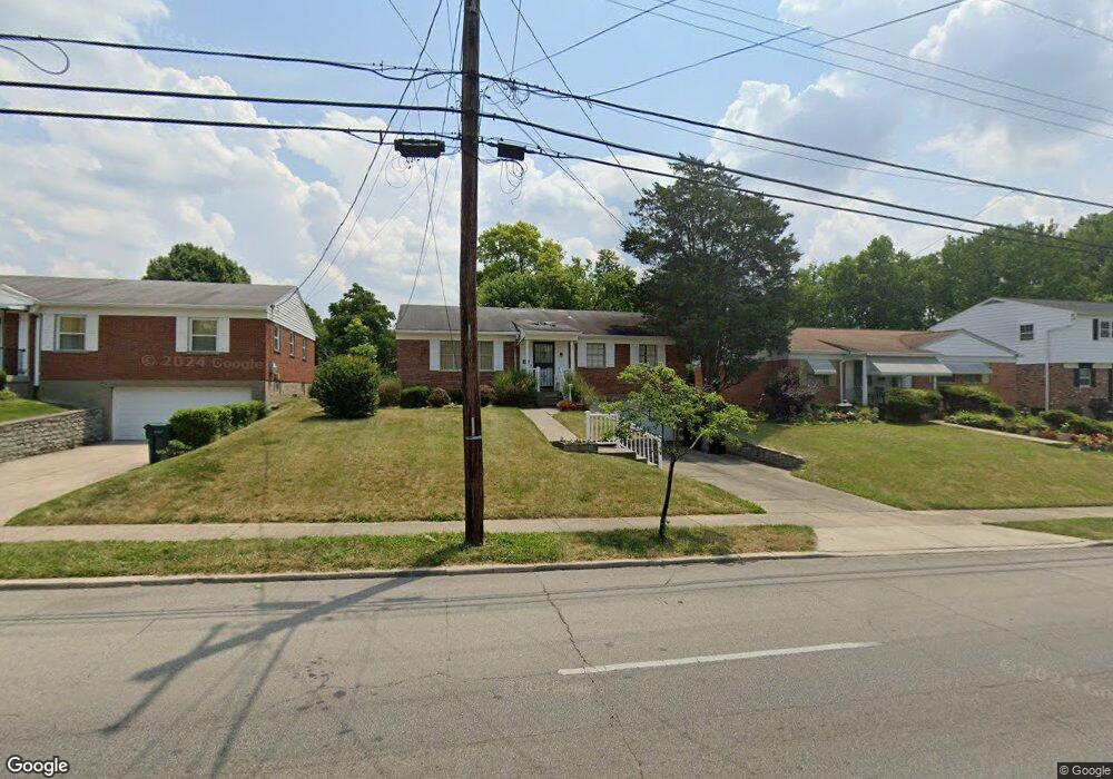
6660 Daly Rd Cincinnati, OH 45224
College Hill NeighborhoodEstimated Value: $193,840 - $239,000
3
Beds
2
Baths
1,419
Sq Ft
$155/Sq Ft
Est. Value
About This Home
This home is located at 6660 Daly Rd, Cincinnati, OH 45224 and is currently estimated at $219,460, approximately $154 per square foot. 6660 Daly Rd is a home located in Hamilton County with nearby schools including Pleasant Hill Elementary School, Western Hills High School, and Gilbert A. Dater High School.
Create a Home Valuation Report for This Property
The Home Valuation Report is an in-depth analysis detailing your home's value as well as a comparison with similar homes in the area
Home Values in the Area
Average Home Value in this Area
Tax History
| Year | Tax Paid | Tax Assessment Tax Assessment Total Assessment is a certain percentage of the fair market value that is determined by local assessors to be the total taxable value of land and additions on the property. | Land | Improvement |
|---|---|---|---|---|
| 2025 | $2,898 | $57,061 | $11,879 | $45,182 |
| 2024 | $2,814 | $57,061 | $11,879 | $45,182 |
| 2023 | $2,929 | $57,061 | $11,879 | $45,182 |
| 2022 | $1,782 | $34,826 | $9,671 | $25,155 |
| 2021 | $1,699 | $34,826 | $9,671 | $25,155 |
| 2020 | $1,764 | $34,826 | $9,671 | $25,155 |
| 2019 | $1,609 | $30,548 | $8,484 | $22,064 |
| 2018 | $1,612 | $30,548 | $8,484 | $22,064 |
| 2017 | $1,523 | $30,548 | $8,484 | $22,064 |
| 2016 | $1,722 | $33,131 | $9,051 | $24,080 |
| 2015 | $1,560 | $33,131 | $9,051 | $24,080 |
| 2014 | $1,572 | $33,131 | $9,051 | $24,080 |
| 2013 | $1,666 | $34,157 | $9,331 | $24,826 |
Source: Public Records
Map
Nearby Homes
- 6669 Kirkland Dr
- 6666 Orleans Ct
- 6639 Plantation Way
- 6538 S Oak Knoll Dr
- 7909 Burgundy Ln
- 1148 Hollywood Ave
- 7873 Bobolink Dr
- 7923 Bobolink Dr
- 1280 Brushwood Ave
- 1090 W Galbraith Rd
- 6629 Charann Ln
- 7929 Cherrywood Ct
- 6728 Sandalwood Ln
- 941 Springbrook Dr
- 6765 Richard Ave
- 6145 Sunridge Dr
- 1202 Ashmore Ct
- 8433 Jonfred Ct
- 6101 Capri Dr
- 1533 Corcoran Place
Your Personal Tour Guide
Ask me questions while you tour the home.