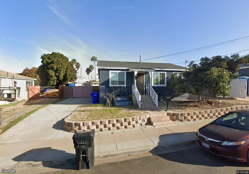
6660 Manning St San Diego, CA 92111
Linda Vista NeighborhoodEstimated Value: $699,000 - $979,783
4
Beds
2
Baths
1,350
Sq Ft
$633/Sq Ft
Est. Value
About This Home
This home is located at 6660 Manning St, San Diego, CA 92111 and is currently estimated at $854,446, approximately $632 per square foot. 6660 Manning St is a home located in San Diego County with nearby schools including Linda Vista Elementary School, Montgomery Middle School, and San Diego Cooperative Charter School.
Ownership History
Date
Name
Owned For
Owner Type
Purchase Details
Closed on
Sep 7, 2000
Sold by
Gladys P Audiffred Joanne Uwjt and Gladys Audiffred
Bought by
Garcia Gabriel and Verdin Brenda
Current Estimated Value
Home Financials for this Owner
Home Financials are based on the most recent Mortgage that was taken out on this home.
Original Mortgage
$175,553
Outstanding Balance
$63,847
Interest Rate
8.07%
Mortgage Type
FHA
Estimated Equity
$790,599
Purchase Details
Closed on
Jul 24, 1997
Sold by
Joanne Audiffred
Bought by
Audiffred Joanne and Audiffred Gladys P
Home Financials for this Owner
Home Financials are based on the most recent Mortgage that was taken out on this home.
Original Mortgage
$106,399
Interest Rate
7.43%
Mortgage Type
FHA
Purchase Details
Closed on
Aug 13, 1996
Sold by
Joanne Audiffred and Audiffred Gladys P
Bought by
Audiffred Joanne
Home Financials for this Owner
Home Financials are based on the most recent Mortgage that was taken out on this home.
Original Mortgage
$39,750
Interest Rate
8.18%
Purchase Details
Closed on
Mar 4, 1993
Create a Home Valuation Report for This Property
The Home Valuation Report is an in-depth analysis detailing your home's value as well as a comparison with similar homes in the area
Home Values in the Area
Average Home Value in this Area
Purchase History
| Date | Buyer | Sale Price | Title Company |
|---|---|---|---|
| Garcia Gabriel | $177,000 | American Title Co | |
| Audiffred Joanne | -- | Commonwealth Land Title Co | |
| Audiffred Joanne | -- | Gateway Title | |
| -- | $110,000 | -- |
Source: Public Records
Mortgage History
| Date | Status | Borrower | Loan Amount |
|---|---|---|---|
| Open | Garcia Gabriel | $175,553 | |
| Previous Owner | Audiffred Joanne | $106,399 | |
| Previous Owner | Audiffred Joanne | $39,750 |
Source: Public Records
Tax History Compared to Growth
Tax History
| Year | Tax Paid | Tax Assessment Tax Assessment Total Assessment is a certain percentage of the fair market value that is determined by local assessors to be the total taxable value of land and additions on the property. | Land | Improvement |
|---|---|---|---|---|
| 2025 | $4,297 | $358,127 | $213,960 | $144,167 |
| 2024 | $4,297 | $351,106 | $209,765 | $141,341 |
| 2023 | $4,201 | $344,222 | $205,652 | $138,570 |
| 2022 | $4,087 | $337,473 | $201,620 | $135,853 |
| 2021 | $4,053 | $330,857 | $197,667 | $133,190 |
| 2020 | $4,000 | $327,466 | $195,641 | $131,825 |
| 2019 | $3,925 | $321,046 | $191,805 | $129,241 |
| 2018 | $3,670 | $314,752 | $188,045 | $126,707 |
| 2017 | $3,582 | $308,581 | $184,358 | $124,223 |
| 2016 | $3,519 | $302,532 | $180,744 | $121,788 |
| 2015 | $3,466 | $297,989 | $178,030 | $119,959 |
| 2014 | $3,411 | $292,153 | $174,543 | $117,610 |
Source: Public Records
Map
Nearby Homes
- 6728 Thomson Ct
- 6737 Thomson Ct
- 2675 Comstock St
- 2525 Inman Ct
- 6492 Lanston St
- 6328-30 Quillan St
- 2868-70 Preece St
- 2750 Wheatstone St Unit 113
- 2750 Wheatstone St Unit 105
- 2750 Wheatstone St Unit 89
- 2750 Wheatstone St Unit 64
- 6736 Kelly St
- 7128 E Hyatt St
- 2249-51 W Dunlop St
- 2201-7 Burroughs St
- 2005 Burton St Unit 1
- 2037 Burton St Unit 43
- 2216-18 Dunlop St
- 6338 Caminito Del Pastel Unit 148
- 6340 Caminito Del Pastel Unit 147
- 6668 Manning St
- 6650 Manning St
- 2516 Nye St
- 2526 Nye St
- 6676 Manning St
- 6642 Manning St
- 6659 Manning St
- 6659 Manning St
- 6659 Manning St Unit 61
- 6669 Manning St
- 2508 Nye St
- 6677 Manning St
- 6686 Manning St
- 6618 Manning St
- 6651 Manning St
- 2534 Nye St
- 2534-36 Nye St
- 6681 Manning St
- 6643 Manning St
- 6635 Manning St