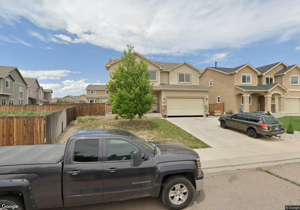
6661 Alliance Loop Colorado Springs, CO 80925
Widefield NeighborhoodEstimated Value: $464,000 - $544,000
6
Beds
4
Baths
2,425
Sq Ft
$208/Sq Ft
Est. Value
About This Home
This home is located at 6661 Alliance Loop, Colorado Springs, CO 80925 and is currently estimated at $504,783, approximately $208 per square foot. 6661 Alliance Loop is a home located in El Paso County with nearby schools including Grand Mountain School, Mesa Ridge High School, and Valley Christian Academy.
Ownership History
Date
Name
Owned For
Owner Type
Purchase Details
Closed on
Oct 25, 2023
Sold by
Razei Project Llc
Bought by
6600 Alliance Llc
Current Estimated Value
Purchase Details
Closed on
Oct 2, 2017
Sold by
Mcguire David C and Vanschalwyk Ronelle Van
Bought by
Razei Project Llc
Purchase Details
Closed on
Oct 31, 2012
Sold by
Integrity Bank & Trust
Bought by
Mcguire David C and Mcguire Van Schalkwyk
Home Financials for this Owner
Home Financials are based on the most recent Mortgage that was taken out on this home.
Original Mortgage
$269,344
Interest Rate
3.52%
Mortgage Type
VA
Purchase Details
Closed on
Jul 25, 2012
Sold by
Lorson Llc
Bought by
Integrity Bank & Trust and Elena Z Stephens Roth Ira
Create a Home Valuation Report for This Property
The Home Valuation Report is an in-depth analysis detailing your home's value as well as a comparison with similar homes in the area
Home Values in the Area
Average Home Value in this Area
Purchase History
| Date | Buyer | Sale Price | Title Company |
|---|---|---|---|
| 6600 Alliance Llc | -- | None Listed On Document | |
| Razei Project Llc | -- | None Available | |
| Mcguire David C | $263,700 | Empire Title Co Springs Llc | |
| Integrity Bank & Trust | $55,000 | Heritage Title |
Source: Public Records
Mortgage History
| Date | Status | Borrower | Loan Amount |
|---|---|---|---|
| Previous Owner | Mcguire David C | $269,344 |
Source: Public Records
Tax History Compared to Growth
Tax History
| Year | Tax Paid | Tax Assessment Tax Assessment Total Assessment is a certain percentage of the fair market value that is determined by local assessors to be the total taxable value of land and additions on the property. | Land | Improvement |
|---|---|---|---|---|
| 2025 | $3,477 | $35,570 | -- | -- |
| 2024 | $3,422 | $26,860 | $6,040 | $20,820 |
| 2022 | $3,380 | $24,420 | $4,810 | $19,610 |
| 2021 | $3,520 | $25,120 | $4,950 | $20,170 |
| 2020 | $4,551 | $24,100 | $4,330 | $19,770 |
| 2019 | $3,401 | $24,100 | $4,330 | $19,770 |
| 2018 | $3,004 | $20,960 | $4,360 | $16,600 |
| 2017 | $3,067 | $20,960 | $4,360 | $16,600 |
| 2016 | $2,647 | $20,450 | $4,380 | $16,070 |
| 2015 | $2,788 | $20,450 | $4,380 | $16,070 |
| 2014 | $2,727 | $20,090 | $4,290 | $15,800 |
Source: Public Records
Map
Nearby Homes
- 10179 Seawolf Dr
- 10250 Intrepid Way
- 6868 Alsea Dr
- 6572 Justice Way
- 10202 Abrams Dr
- 10208 Abrams Dr
- 10568 Kalama Dr
- 10670 Abrams Dr
- 6961 Maidford Dr
- 10634 Abrams Dr
- 10405 Abrams Dr
- 10868 Deer Meadow Cir
- 6672 Kearsarge Dr
- 10394 Abrams Dr
- 10732 Deer Meadow Cir
- 6705 Liberator Trail
- 6562 Phantom Way
- 10573 Luneth Dr
- 10442 Abrams Dr
- 10128 Castor Dr
- 6677 Alliance Loop
- 6629 Alliance Loop
- 6621 Alliance Loop
- 10347 Sentry Post Place
- 6613R Alliance Loop
- 10379 Sentry Post Place
- 10395 Sentry Post Place
- 6662 Alliance Loop
- 6670 Alliance Loop
- 6605 Alliance Loop
- 6654 Alliance Loop
- 6678 Alliance Loop
- 6686 Alliance Loop
- 6646 Alliance Loop
- 6622 Alliance Loop
- 6614 Alliance Loop
- 10364 Sentry Post Place
- 6638 Alliance Loop
- 6718 Alliance Loop
- 6694 Alliance Loop