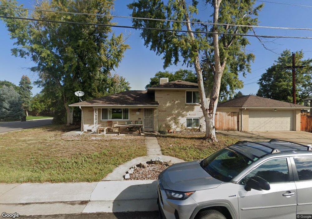
6663 W 53rd Ave Arvada, CO 80002
Estimated Value: $521,000 - $601,000
3
Beds
3
Baths
1,421
Sq Ft
$392/Sq Ft
Est. Value
About This Home
This home is located at 6663 W 53rd Ave, Arvada, CO 80002 and is currently estimated at $557,445, approximately $392 per square foot. 6663 W 53rd Ave is a home located in Jefferson County with nearby schools including Secrest Elementary School, North Arvada Middle School, and Arvada High School.
Ownership History
Date
Name
Owned For
Owner Type
Purchase Details
Closed on
Oct 2, 2020
Sold by
Chenango Partners Ii Llc
Bought by
Hurd Nolan and Hurd Michelle
Current Estimated Value
Home Financials for this Owner
Home Financials are based on the most recent Mortgage that was taken out on this home.
Original Mortgage
$360,000
Outstanding Balance
$320,201
Interest Rate
2.9%
Mortgage Type
New Conventional
Estimated Equity
$237,244
Purchase Details
Closed on
Jul 10, 2015
Sold by
Christian A Patricia
Bought by
Chenango Partners Ii Llc
Purchase Details
Closed on
Feb 26, 1999
Sold by
Olofson Louis D and Olofson Susan M
Bought by
Christian A Patricia
Home Financials for this Owner
Home Financials are based on the most recent Mortgage that was taken out on this home.
Original Mortgage
$70,000
Interest Rate
6.8%
Mortgage Type
Stand Alone First
Create a Home Valuation Report for This Property
The Home Valuation Report is an in-depth analysis detailing your home's value as well as a comparison with similar homes in the area
Purchase History
| Date | Buyer | Sale Price | Title Company |
|---|---|---|---|
| Hurd Nolan | $450,000 | Land Title Guarantee Company | |
| Chenango Partners Ii Llc | $265,000 | Fidelity National Title Ins | |
| Christian A Patricia | $144,500 | -- |
Source: Public Records
Mortgage History
| Date | Status | Borrower | Loan Amount |
|---|---|---|---|
| Open | Hurd Nolan | $360,000 | |
| Previous Owner | Christian A Patricia | $70,000 |
Source: Public Records
Tax History
| Year | Tax Paid | Tax Assessment Tax Assessment Total Assessment is a certain percentage of the fair market value that is determined by local assessors to be the total taxable value of land and additions on the property. | Land | Improvement |
|---|---|---|---|---|
| 2024 | $3,311 | $33,223 | $15,274 | $17,949 |
| 2023 | $3,311 | $33,223 | $15,274 | $17,949 |
| 2022 | $2,951 | $29,432 | $11,757 | $17,675 |
| 2021 | $2,995 | $30,280 | $12,096 | $18,184 |
| 2020 | $2,635 | $26,674 | $9,674 | $17,000 |
| 2019 | $2,600 | $26,674 | $9,674 | $17,000 |
| 2018 | $2,325 | $23,173 | $6,559 | $16,614 |
| 2017 | $2,131 | $23,173 | $6,559 | $16,614 |
| 2016 | $1,693 | $17,312 | $5,539 | $11,773 |
| 2015 | $1,476 | $17,312 | $5,539 | $11,773 |
| 2014 | $1,476 | $14,187 | $5,359 | $8,828 |
Source: Public Records
Map
Nearby Homes
- 6801 W 52nd Ave
- 6950 W 54th Ave
- 5215 Ingalls St
- 5465 Reed Ct
- 6940 W 55th Place
- 5423 Saulsbury Ct
- 6105 W 49th Place
- 4963 Harlan St
- 6427 Grandview Ave Unit A & B
- 6500 Ralston Rd Unit A
- 5790 W 51st Ave
- 4925 Gray St
- 6920 W 48th Ave Unit 6920
- 7221 W 48th Ave
- 4835 Harlan St Unit 14-17
- 4730 Pierce St
- 5530 Clear Creek Dr
- 5670 W 51st Ave
- 4786 Teller St
- 4841 Golden Ct