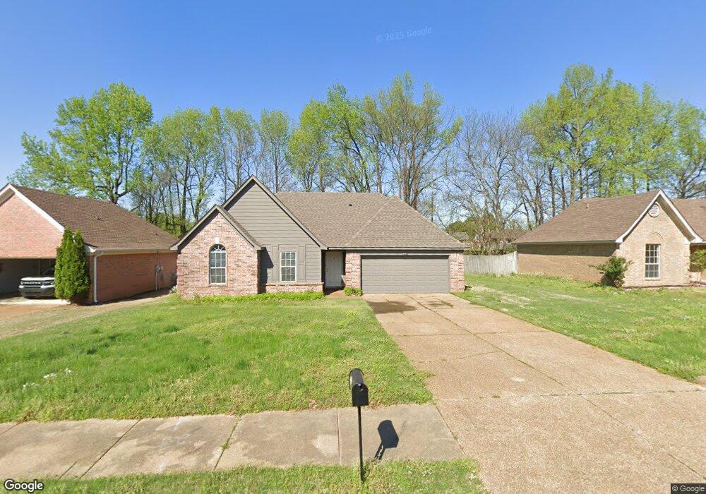
6667 Branch Rd S Olive Branch, MS 38654
Estimated Value: $230,602 - $295,000
3
Beds
--
Bath
1,707
Sq Ft
$151/Sq Ft
Est. Value
About This Home
This home is located at 6667 Branch Rd S, Olive Branch, MS 38654 and is currently estimated at $257,151, approximately $150 per square foot. 6667 Branch Rd S is a home located in DeSoto County with nearby schools including Olive Branch Elementary School, Chickasaw Elementary School, and Olive Branch Middle School.
Ownership History
Date
Name
Owned For
Owner Type
Purchase Details
Closed on
Jun 26, 2019
Sold by
Art Properties Llc
Bought by
Art Ppc Llc
Current Estimated Value
Home Financials for this Owner
Home Financials are based on the most recent Mortgage that was taken out on this home.
Original Mortgage
$4,176,750
Outstanding Balance
$513,621
Interest Rate
4.2%
Mortgage Type
Commercial
Estimated Equity
-$256,470
Create a Home Valuation Report for This Property
The Home Valuation Report is an in-depth analysis detailing your home's value as well as a comparison with similar homes in the area
Home Values in the Area
Average Home Value in this Area
Purchase History
| Date | Buyer | Sale Price | Title Company |
|---|---|---|---|
| Art Ppc Llc | -- | Os National Llc |
Source: Public Records
Mortgage History
| Date | Status | Borrower | Loan Amount |
|---|---|---|---|
| Open | Art Ppc Llc | $4,176,750 |
Source: Public Records
Tax History Compared to Growth
Tax History
| Year | Tax Paid | Tax Assessment Tax Assessment Total Assessment is a certain percentage of the fair market value that is determined by local assessors to be the total taxable value of land and additions on the property. | Land | Improvement |
|---|---|---|---|---|
| 2024 | $1,975 | $14,468 | $3,000 | $11,468 |
| 2023 | $1,975 | $14,468 | $0 | $0 |
| 2022 | $1,994 | $14,607 | $3,000 | $11,607 |
| 2021 | $1,994 | $14,607 | $3,000 | $11,607 |
| 2020 | $1,867 | $13,678 | $3,000 | $10,678 |
| 2019 | $1,867 | $13,678 | $3,000 | $10,678 |
| 2017 | $1,837 | $23,784 | $13,392 | $10,392 |
| 2016 | $1,837 | $13,392 | $3,000 | $10,392 |
| 2015 | $1,837 | $23,784 | $13,392 | $10,392 |
| 2014 | $1,917 | $13,969 | $0 | $0 |
| 2013 | $1,861 | $13,969 | $0 | $0 |
Source: Public Records
Map
Nearby Homes
- 6729 Branch Rd S
- 6716 Branch Rd S
- 10625 Kristen Dr
- 10155 Riggan Dr
- 10335 Yates Dr
- 10227 Williford Dr
- 10475 Courtney Cove
- 10862 Wiseman Dr
- 6741 Hacks Cross Rd
- 10101 Stephenson Ln
- 9919 Adina Cove
- 9745 Riggan Dr
- 9821 Morgan Manor Dr
- 9800 Cherokee Dr
- 9759 Pigeon Roost Park Cir
- 6825 Charlotte Dr
- 6041 Allen Pkwy W
- 10082 Lacey Dr
- LOT 3 Old Goodman Rd
- 7582 Fox Hunt Dr E
- 6655 Branch Estates Dr
- 6691 Branch Estates Dr
- 10630 Stephenson Ln
- 10650 Stephenson Ln
- 10616 Stephenson Ln
- 6664 Branch Estates Dr
- 6703 Branch Estates Dr
- 6676 Branch Estates Dr
- 6653 Branch Estates Dr
- 10602 Stephenson Ln
- 10489 Riggan Dr
- 6688 Branch Estates Dr
- 10503 Riggan Dr
- 10588 Stephenson Ln
- 10475 Riggan Dr
- 6715 Branch Estates Dr
- 6715 Branch Estates Dr
- 6700 Branch Estates Dr
- 10527 Riggan Dr
- 10574 Stephenson Ln