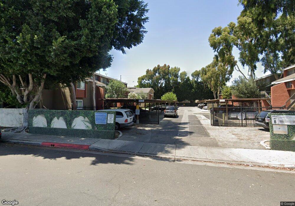
6667 Caro St Unit 70 Paramount, CA 90723
Estimated Value: $409,000 - $486,000
1
Bed
1
Bath
962
Sq Ft
$466/Sq Ft
Est. Value
About This Home
This home is located at 6667 Caro St Unit 70, Paramount, CA 90723 and is currently estimated at $447,963, approximately $465 per square foot. 6667 Caro St Unit 70 is a home located in Los Angeles County with nearby schools including Wesley Gaines School, Leona Jackson Middle School, and Paramount High School.
Ownership History
Date
Name
Owned For
Owner Type
Purchase Details
Closed on
Apr 6, 1998
Sold by
Federal Home Loan Mortgage Corporation
Bought by
Baker Keisha
Current Estimated Value
Home Financials for this Owner
Home Financials are based on the most recent Mortgage that was taken out on this home.
Original Mortgage
$58,550
Outstanding Balance
$11,085
Interest Rate
7.07%
Mortgage Type
Purchase Money Mortgage
Estimated Equity
$436,878
Purchase Details
Closed on
Oct 3, 1997
Sold by
Boone Jacquelyne D
Bought by
Federal Home Loan Mortgage Corporation
Create a Home Valuation Report for This Property
The Home Valuation Report is an in-depth analysis detailing your home's value as well as a comparison with similar homes in the area
Home Values in the Area
Average Home Value in this Area
Purchase History
| Date | Buyer | Sale Price | Title Company |
|---|---|---|---|
| Baker Keisha | $59,900 | Chicago Title Co | |
| Federal Home Loan Mortgage Corporation | $64,000 | Chicago Title Co |
Source: Public Records
Mortgage History
| Date | Status | Borrower | Loan Amount |
|---|---|---|---|
| Open | Baker Keisha | $58,550 |
Source: Public Records
Tax History
| Year | Tax Paid | Tax Assessment Tax Assessment Total Assessment is a certain percentage of the fair market value that is determined by local assessors to be the total taxable value of land and additions on the property. | Land | Improvement |
|---|---|---|---|---|
| 2025 | $1,495 | $95,611 | $19,141 | $76,470 |
| 2024 | $1,495 | $93,737 | $18,766 | $74,971 |
| 2023 | $1,469 | $91,900 | $18,399 | $73,501 |
| 2022 | $1,429 | $90,099 | $18,039 | $72,060 |
| 2021 | $1,394 | $88,334 | $17,686 | $70,648 |
| 2019 | $1,412 | $85,715 | $17,162 | $68,553 |
| 2018 | $1,322 | $84,035 | $16,826 | $67,209 |
| 2017 | $1,282 | $82,389 | $16,497 | $65,892 |
| 2016 | $1,193 | $80,774 | $16,174 | $64,600 |
| 2015 | $1,136 | $79,562 | $15,932 | $63,630 |
| 2014 | $1,160 | $78,004 | $15,620 | $62,384 |
Source: Public Records
Map
Nearby Homes
- 6882 Alondra Blvd Unit 26
- 6824 Marcelle St
- 16313 Hunsaker Ave
- 15351 Orange Ave Unit 17
- 6313 Rancho Parada Rd
- 15325 Orange Ave
- 16600 Orange Ave Unit 48
- 16710 Orange Ave Unit A1
- 15137 Gundry Ave Unit F
- 7229 Jackson St
- 7032 Somerset Blvd
- 6950 Atlantic Ave
- 16601 Garfield Ave Unit 110
- 15812 Atlantic
- 16707 Garfield Ave Unit 1806
- 7101 San Marcus St
- 16511 Garfield Ave Unit 45b
- 4810 E San Luis St
- 6764 Lemon Ave
- 1208 S White Ave
- 6603 Caro St Unit 97
- 6617 Caro St Unit 103
- 6637 Caro St Unit 95
- 6651 Caro St Unit 82
- 6647 Caro St Unit 90
- 6649 Caro St Unit 89
- 6661 Caro St Unit 85
- 6631 Caro St Unit 106
- 6617 Caro St
- 6603 Caro St
- 6637 Caro St
- 6673 Caro St Unit 71
- 6669 Caro St Unit 69
- 6703 Caro St Unit 67
- 6717 Caro St Unit 61
- 6601 Caro St Unit 98
- 6601 Caro St
- 6689 Caro St Unit 79
- 6619 Caro St Unit 112
- 6685 Caro St Unit 77