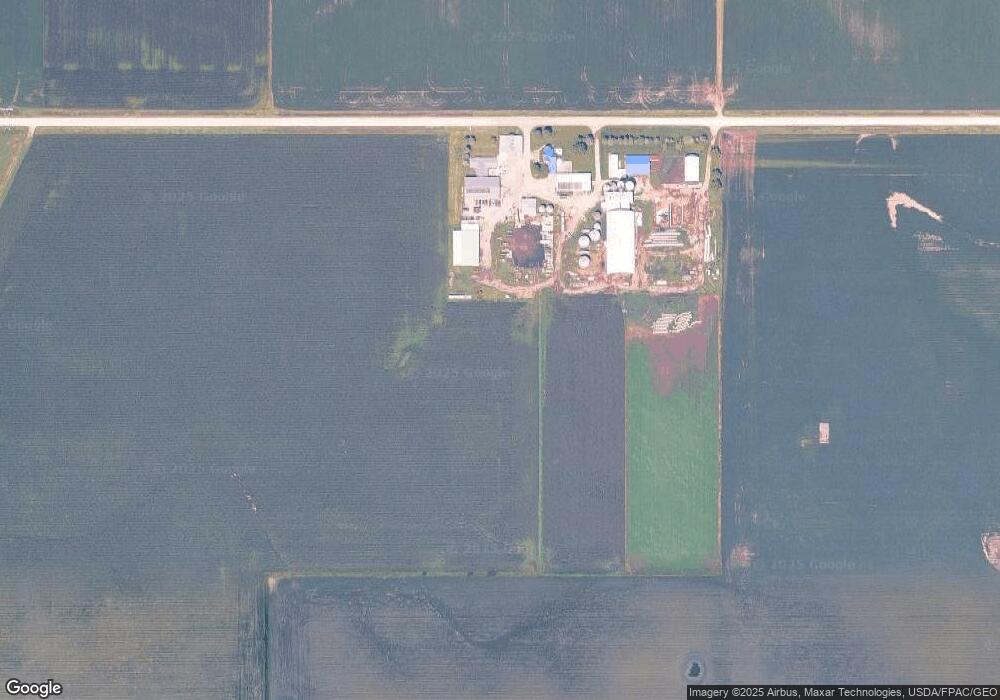
66670 290th St Maxwell, IA 50161
Estimated Value: $375,000 - $671,000
3
Beds
2
Baths
2,452
Sq Ft
$209/Sq Ft
Est. Value
About This Home
This home is located at 66670 290th St, Maxwell, IA 50161 and is currently estimated at $513,294, approximately $209 per square foot. 66670 290th St is a home located in Story County with nearby schools including Collins-Maxwell Elementary School and Collins-Maxwell Middle/High School.
Ownership History
Date
Name
Owned For
Owner Type
Purchase Details
Closed on
Mar 11, 2021
Sold by
Birchmier Stephen
Bought by
Birchmier Family Revocable Trust
Current Estimated Value
Purchase Details
Closed on
Mar 17, 2010
Sold by
Backoff Mildred and Henson Viola Nm
Bought by
Birchmier Stephen J and Birchmier Jeanie J
Home Financials for this Owner
Home Financials are based on the most recent Mortgage that was taken out on this home.
Original Mortgage
$240,500
Interest Rate
5.01%
Mortgage Type
Future Advance Clause Open End Mortgage
Create a Home Valuation Report for This Property
The Home Valuation Report is an in-depth analysis detailing your home's value as well as a comparison with similar homes in the area
Purchase History
| Date | Buyer | Sale Price | Title Company |
|---|---|---|---|
| Birchmier Family Revocable Trust | -- | None Available | |
| Birchmier Family Revocable Trust | -- | None Available | |
| Birchmier Stephen J | $384,500 | -- |
Source: Public Records
Mortgage History
| Date | Status | Borrower | Loan Amount |
|---|---|---|---|
| Previous Owner | Birchmier Stephen J | $240,500 |
Source: Public Records
Tax History
| Year | Tax Paid | Tax Assessment Tax Assessment Total Assessment is a certain percentage of the fair market value that is determined by local assessors to be the total taxable value of land and additions on the property. | Land | Improvement |
|---|---|---|---|---|
| 2025 | $4,860 | $398,600 | $100,600 | $298,000 |
| 2024 | $4,837 | $343,900 | $74,300 | $269,600 |
| 2023 | $4,658 | $343,900 | $74,300 | $269,600 |
| 2022 | $4,454 | $268,400 | $59,900 | $208,500 |
| 2021 | $4,524 | $256,000 | $59,900 | $196,100 |
| 2020 | $4,428 | $251,700 | $55,500 | $196,200 |
| 2019 | $4,428 | $251,700 | $55,500 | $196,200 |
| 2018 | $3,584 | $266,500 | $74,000 | $192,500 |
| 2017 | $3,584 | $266,500 | $74,000 | $192,500 |
| 2016 | $3,448 | $282,600 | $84,300 | $198,300 |
| 2015 | $3,448 | $282,600 | $84,300 | $198,300 |
| 2014 | $3,902 | $316,800 | $98,300 | $218,500 |
Source: Public Records
Map
Nearby Homes
Your Personal Tour Guide
Ask me questions while you tour the home.