6669 Neals Landing Rd Bascom, FL 32423
Estimated Value: $210,686 - $334,000
2
Beds
2
Baths
864
Sq Ft
$308/Sq Ft
Est. Value
About This Home
This home is located at 6669 Neals Landing Rd, Bascom, FL 32423 and is currently estimated at $266,422, approximately $308 per square foot. 6669 Neals Landing Rd is a home located in Jackson County with nearby schools including Malone School.
Ownership History
Date
Name
Owned For
Owner Type
Purchase Details
Closed on
Feb 10, 2004
Sold by
Batson Bobby Norton
Bought by
Kellow William R and Kellow Grace C
Current Estimated Value
Home Financials for this Owner
Home Financials are based on the most recent Mortgage that was taken out on this home.
Original Mortgage
$118,700
Outstanding Balance
$54,888
Interest Rate
5.85%
Mortgage Type
Unknown
Estimated Equity
$211,534
Purchase Details
Closed on
May 5, 2000
Sold by
Batson Bobby N and Hartin Andrew S
Bought by
Batson Bobby N
Create a Home Valuation Report for This Property
The Home Valuation Report is an in-depth analysis detailing your home's value as well as a comparison with similar homes in the area
Purchase History
| Date | Buyer | Sale Price | Title Company |
|---|---|---|---|
| Kellow William R | $148,400 | Title Services Of Nw Fl Inc | |
| Batson Bobby N | -- | -- |
Source: Public Records
Mortgage History
| Date | Status | Borrower | Loan Amount |
|---|---|---|---|
| Open | Kellow William R | $118,700 |
Source: Public Records
Tax History
| Year | Tax Paid | Tax Assessment Tax Assessment Total Assessment is a certain percentage of the fair market value that is determined by local assessors to be the total taxable value of land and additions on the property. | Land | Improvement |
|---|---|---|---|---|
| 2025 | $371 | $69,372 | -- | -- |
| 2024 | $363 | $67,678 | -- | -- |
| 2023 | $346 | $66,117 | $0 | $0 |
| 2022 | $376 | $64,748 | $0 | $0 |
| 2021 | $384 | $62,978 | $0 | $0 |
| 2020 | $394 | $62,658 | $18,952 | $43,706 |
| 2019 | $414 | $62,586 | $0 | $0 |
| 2018 | $418 | $63,161 | $0 | $0 |
| 2017 | $417 | $62,931 | $0 | $0 |
| 2016 | $402 | $62,020 | $0 | $0 |
| 2015 | $413 | $61,718 | $23,145 | $38,573 |
| 2014 | $397 | $58,320 | $19,980 | $38,340 |
Source: Public Records
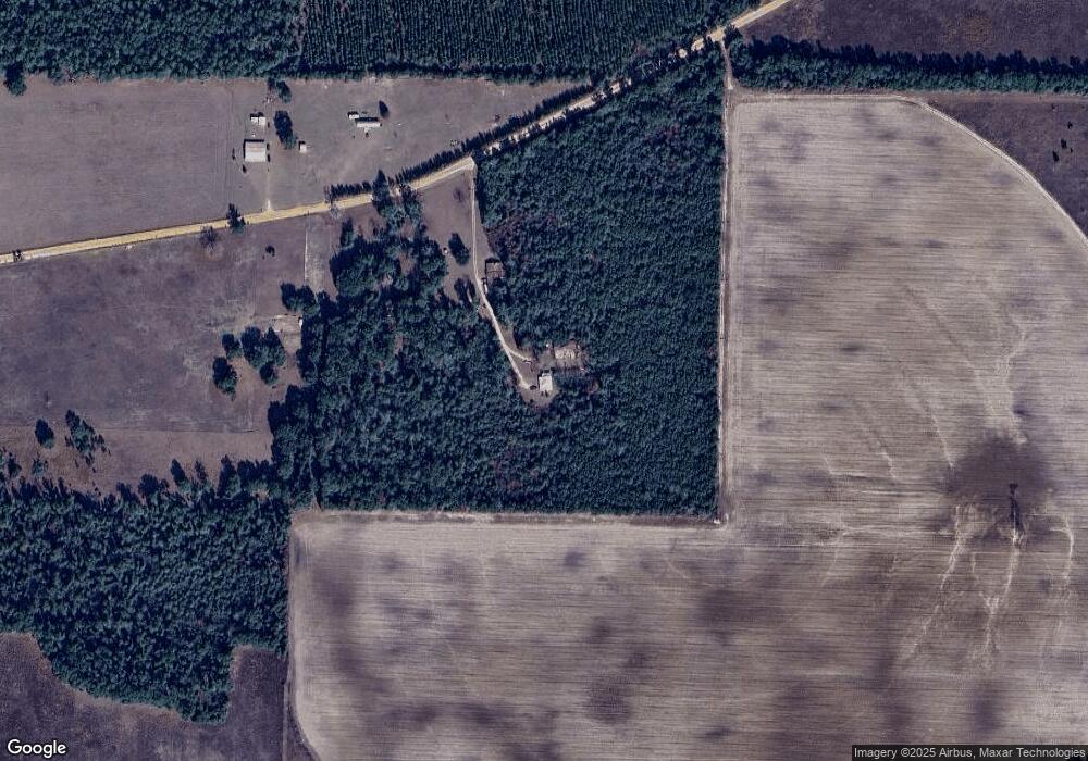
Map
Nearby Homes
- 4686 Dunaway Rd
- 6345 Bull Frog Dr
- 5947 Highway 2
- 5894 Jasper Rd
- 4584 Dunaway Rd
- 5929 Nichols Rd
- TBD Wolf Pond Rd
- 100 Gum St
- 0 Tower Rd
- 00 Lovedale Rd
- 128 Pine St
- 5678 Hummingbird Rd
- Lot 2 Oscar Rd
- Lot 1 Oscar Rd
- 1788 Melton Rd
- 5604 Klondike Rd
- 4727 Georgia Rd
- 4583 Dickson Rd
- 0 Parramore Rd
- 4170 Wintergreen Rd
Your Personal Tour Guide
Ask me questions while you tour the home.