667 Highway 67 N Trade, TN 37691
Estimated Value: $133,000 - $273,294
--
Bed
1
Bath
1,414
Sq Ft
$145/Sq Ft
Est. Value
About This Home
This home is located at 667 Highway 67 N, Trade, TN 37691 and is currently estimated at $204,574, approximately $144 per square foot. 667 Highway 67 N is a home located in Johnson County with nearby schools including Johnson County Middle School and Johnson County High School.
Ownership History
Date
Name
Owned For
Owner Type
Purchase Details
Closed on
Sep 28, 2007
Sold by
Reynolds Gregory D
Bought by
Coffey Kim L
Current Estimated Value
Purchase Details
Closed on
Jun 28, 2005
Sold by
Not Provided
Bought by
Coffey Kim L and Jones Peter B
Home Financials for this Owner
Home Financials are based on the most recent Mortgage that was taken out on this home.
Original Mortgage
$130,000
Interest Rate
5.54%
Mortgage Type
Cash
Purchase Details
Closed on
Nov 12, 1999
Bought by
Duvarney Brian F and Emily Jane Duvar
Purchase Details
Closed on
Sep 13, 1994
Bought by
Herring William A and Herring William A
Purchase Details
Closed on
Aug 2, 1993
Bought by
Herzog C J
Create a Home Valuation Report for This Property
The Home Valuation Report is an in-depth analysis detailing your home's value as well as a comparison with similar homes in the area
Home Values in the Area
Average Home Value in this Area
Purchase History
| Date | Buyer | Sale Price | Title Company |
|---|---|---|---|
| Coffey Kim L | $196,000 | -- | |
| Coffey Kim L | $130,000 | -- | |
| Duvarney Brian F | $84,500 | -- | |
| Herring William A | $65,000 | -- | |
| Herzog C J | -- | -- |
Source: Public Records
Mortgage History
| Date | Status | Borrower | Loan Amount |
|---|---|---|---|
| Previous Owner | Coffey Kim L | $130,000 |
Source: Public Records
Tax History Compared to Growth
Tax History
| Year | Tax Paid | Tax Assessment Tax Assessment Total Assessment is a certain percentage of the fair market value that is determined by local assessors to be the total taxable value of land and additions on the property. | Land | Improvement |
|---|---|---|---|---|
| 2024 | $563 | $25,475 | $7,325 | $18,150 |
| 2023 | $563 | $25,475 | $7,325 | $18,150 |
| 2022 | $461 | $25,475 | $7,325 | $18,150 |
| 2021 | $461 | $25,475 | $7,325 | $18,150 |
| 2020 | $481 | $25,475 | $7,325 | $18,150 |
| 2019 | $481 | $23,475 | $7,325 | $16,150 |
| 2018 | $481 | $23,475 | $7,325 | $16,150 |
| 2017 | $481 | $23,475 | $7,325 | $16,150 |
| 2016 | $481 | $23,475 | $7,325 | $16,150 |
| 2015 | $425 | $23,475 | $7,325 | $16,150 |
| 2014 | $376 | $20,750 | $7,375 | $13,375 |
Source: Public Records
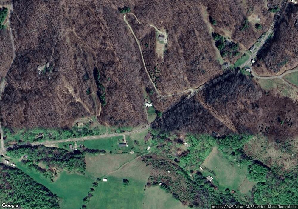
Map
Nearby Homes
- TBD Modock Rd
- Tbd Modock Northeast Rd
- TBD N Us Hwy 421
- 1131 Cherry Springs Ln
- 10950 Highway 421 S
- 184 Hobert Rd S
- TBD NE Moddock Rd
- 8180 Old Us Highway 421
- 222 June Apple Ln
- Tbd Miller Rd
- H406 Buffalo Nvno
- 10032 Highway 421 S
- 9980 Hwy 412 S
- Lots C24 & C33 Buffalo Nvno
- 404 Buffalo Nvno
- C34 Bow and Arrow Nvno
- TBD Buffalo Nvno
- H103 Acorn Nvno
- 230 Sgt Pardue Cir
- 635 Acorn Nvno
- 658 Highway 67 N
- 606 Highway 67 N
- 714 Highway 67 N
- 804 Highway 67 N
- 581 Highway 67 N
- 717 Highway 67 N
- 504 Highway 67 N
- 869 Highway 67 N
- 664 Highway 67 N
- 1485 Drakes Creek Rd
- 921 Highway 67 N
- 447 Highway 67 N
- 908 Highway 67 N
- 370 Highway 67 N
- 963 Highway 67 N
- 910 Highway 67 N
- TBD Drakes Creek Rd Rd
- 1025 Highway 67 N
- 238 Highway 67 N
- 331 Highway 67 N