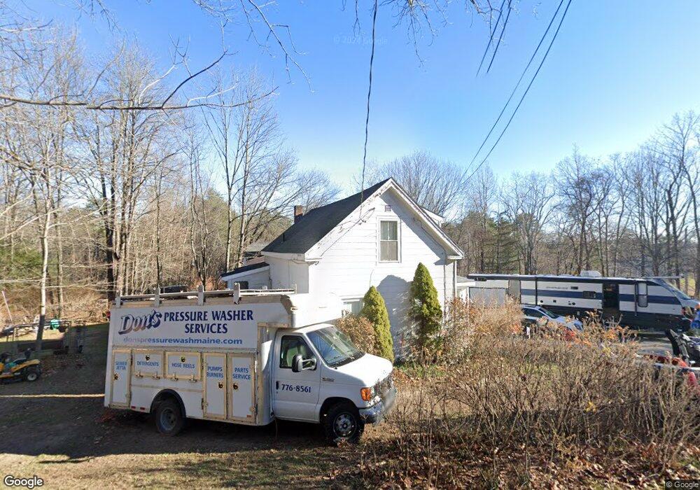
667 Methodist Rd Westbrook, ME 04092
Estimated Value: $444,000 - $508,000
3
Beds
2
Baths
1,920
Sq Ft
$247/Sq Ft
Est. Value
About This Home
This home is located at 667 Methodist Rd, Westbrook, ME 04092 and is currently estimated at $474,815, approximately $247 per square foot. 667 Methodist Rd is a home located in Cumberland County with nearby schools including Westbrook High School.
Ownership History
Date
Name
Owned For
Owner Type
Purchase Details
Closed on
Mar 6, 2020
Sold by
Jp Morgan Chase Bank Na
Bought by
Eco Efficient Development
Current Estimated Value
Purchase Details
Closed on
Oct 13, 2009
Sold by
Brackett Daphne M and Sokolaski Walter A
Bought by
Harrison Andrew Joseph and Harrison Meredith Jean
Home Financials for this Owner
Home Financials are based on the most recent Mortgage that was taken out on this home.
Original Mortgage
$212,087
Interest Rate
5.14%
Mortgage Type
FHA
Create a Home Valuation Report for This Property
The Home Valuation Report is an in-depth analysis detailing your home's value as well as a comparison with similar homes in the area
Home Values in the Area
Average Home Value in this Area
Purchase History
| Date | Buyer | Sale Price | Title Company |
|---|---|---|---|
| Eco Efficient Development | -- | None Available | |
| Harrison Andrew Joseph | -- | -- |
Source: Public Records
Mortgage History
| Date | Status | Borrower | Loan Amount |
|---|---|---|---|
| Previous Owner | Harrison Andrew Joseph | $212,087 |
Source: Public Records
Tax History
| Year | Tax Paid | Tax Assessment Tax Assessment Total Assessment is a certain percentage of the fair market value that is determined by local assessors to be the total taxable value of land and additions on the property. | Land | Improvement |
|---|---|---|---|---|
| 2023 | $4,510 | $270,400 | $87,000 | $183,400 |
| 2022 | $4,094 | $226,200 | $72,600 | $153,600 |
| 2021 | $4,033 | $226,200 | $72,600 | $153,600 |
| 2020 | $4,040 | $226,200 | $72,600 | $153,600 |
| 2019 | $4,040 | $226,200 | $72,600 | $153,600 |
| 2018 | $3,862 | $193,600 | $65,400 | $128,200 |
| 2017 | $3,655 | $193,600 | $65,400 | $128,200 |
| 2016 | $3,562 | $193,600 | $65,400 | $128,200 |
| 2015 | $3,477 | $193,600 | $65,400 | $128,200 |
| 2014 | $3,330 | $193,600 | $65,400 | $128,200 |
| 2013 | $3,330 | $193,600 | $65,400 | $128,200 |
Source: Public Records
Map
Nearby Homes
- 680 Methodist Rd
- 65 Batchelder Rd
- 169 Brook St
- 171 Brook St Unit 49
- 171 Brook St Unit 44
- 171 Brook St Unit 50
- 171 Brook St Unit 52
- 171 Brook St Unit 46
- 171 Brook St Unit 41
- 171 Brook St Unit 47
- 171 Brook St Unit 54
- 171 Brook St Unit 48
- 171 Brook St Unit 53
- 171 Brook St Unit 42
- 171 Brook St Unit 43
- 171 Brook St Unit 45
- 171 Brook St Unit 51
- 7 Collins Place Unit 6
- 290 Bridgton Rd Unit 1
- 214 Duck Pond Rd
- 667 Methodist Rd
- 669 Methodist Rd
- 701 Methodist Rd
- 709 Methodist Rd
- 653 Methodist Rd
- 00 Methodist Rd
- 22 Methodist Rd
- 0 Methodist Rd
- 725 Methodist Rd
- 706 Methodist Rd
- 614 Methodist Rd
- 630 Methodist Rd
- 716 Methodist Rd
- 20 Sunnyfield Dr
- 735 Methodist Rd
- 140 Cobb Farm Dr
- 643 Methodist Rd
- 734 Methodist Rd
- 628 Methodist Rd
- 143 Cobb Farm Dr
Your Personal Tour Guide
Ask me questions while you tour the home.