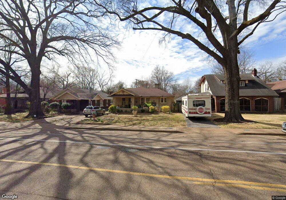
667 N Mclean Blvd Memphis, TN 38107
Vollintine Evergreen NeighborhoodEstimated Value: $196,000 - $247,000
2
Beds
1
Bath
1,371
Sq Ft
$154/Sq Ft
Est. Value
About This Home
This home is located at 667 N Mclean Blvd, Memphis, TN 38107 and is currently estimated at $210,820, approximately $153 per square foot. 667 N Mclean Blvd is a home located in Shelby County with nearby schools including Snowden Elementary/Middle School, Central High School, and Crosstown High School.
Ownership History
Date
Name
Owned For
Owner Type
Purchase Details
Closed on
May 4, 1999
Sold by
James Carls H
Bought by
Young Richard T and Marsh Kathleen A
Current Estimated Value
Home Financials for this Owner
Home Financials are based on the most recent Mortgage that was taken out on this home.
Original Mortgage
$68,964
Outstanding Balance
$17,047
Interest Rate
7%
Mortgage Type
FHA
Estimated Equity
$193,773
Create a Home Valuation Report for This Property
The Home Valuation Report is an in-depth analysis detailing your home's value as well as a comparison with similar homes in the area
Home Values in the Area
Average Home Value in this Area
Purchase History
| Date | Buyer | Sale Price | Title Company |
|---|---|---|---|
| Young Richard T | $69,000 | Lawyers Title Insurance Corp | |
| Young Richard T | $69,000 | Lawyers Title Insurance Corp |
Source: Public Records
Mortgage History
| Date | Status | Borrower | Loan Amount |
|---|---|---|---|
| Open | Young Richard T | $68,964 | |
| Closed | Young Richard T | $68,964 |
Source: Public Records
Tax History
| Year | Tax Paid | Tax Assessment Tax Assessment Total Assessment is a certain percentage of the fair market value that is determined by local assessors to be the total taxable value of land and additions on the property. | Land | Improvement |
|---|---|---|---|---|
| 2025 | $1,686 | $46,675 | $11,300 | $35,375 |
| 2024 | $1,686 | $49,725 | $7,250 | $42,475 |
| 2023 | $3,029 | $49,725 | $7,250 | $42,475 |
| 2022 | $3,029 | $49,725 | $7,250 | $42,475 |
| 2021 | $3,065 | $49,725 | $7,250 | $42,475 |
| 2020 | $2,368 | $32,675 | $7,250 | $25,425 |
| 2019 | $2,368 | $32,675 | $7,250 | $25,425 |
| 2018 | $2,368 | $32,675 | $7,250 | $25,425 |
| 2017 | $1,343 | $32,675 | $7,250 | $25,425 |
| 2016 | $1,338 | $30,625 | $0 | $0 |
| 2014 | $1,338 | $30,625 | $0 | $0 |
Source: Public Records
Map
Nearby Homes
- 1808 Tutwiler Ave
- 668 Hawthorne St
- 1900 Snowden Ave
- 1824 Lyndale Ave
- 1804 N Parkway
- 1817 N Parkway
- 699 N Evergreen St
- 1700 Faxon Ave
- 1960 N Parkway Unit 605
- 1960 N Parkway Unit 411
- 1960 N Parkway Unit 1208
- 1960 N Parkway Unit 109
- 1960 N Parkway Unit 1110
- 1960 N Parkway Unit 901
- 1960 N Parkway Unit 511
- 1960 N Parkway Unit 906
- 1976 Lyndale Ave
- 1727 Crump Ave
- 729 N Belvedere Blvd
- 1781 Forrest Ave
- 663 N Mclean Blvd
- 673 N Mclean Blvd
- 677 N Mclean Blvd
- 657 N Mclean Blvd
- 668 N Idlewild St
- 664 N Idlewild St
- 672 N Idlewild St
- 683 N Mclean Blvd
- 678 N Idlewild St
- 660 N Idlewild St
- 1853 Snowden Ave
- 684 N Idlewild St
- 687 N Mclean Blvd
- 1828 Tutwiler Ave
- 1824 Tutwiler Ave
- 688 N Idlewild St
- 1859 Snowden Ave
- 691 N Mclean Blvd
- 1852 Snowden Ave
- 1852 Tutwiler Ave
Your Personal Tour Guide
Ask me questions while you tour the home.