Estimated Value: $247,000 - $336,000
Studio
--
Bath
--
Sq Ft
390,733
Sq Ft Lot
About This Home
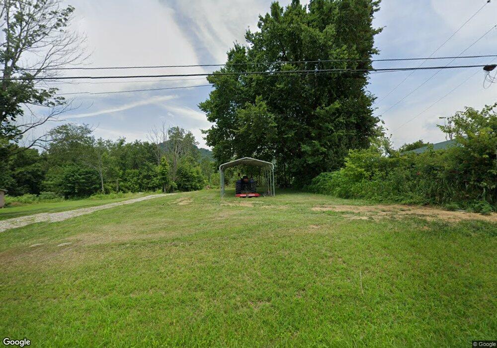
This home is located at 667 Red Lick Rd, Berea, KY 40403 and is currently estimated at $286,709. 667 Red Lick Rd is a home with nearby schools including Kingston Elementary School, Farristown Middle School, and Madison Southern High School.
Ownership History
Date
Name
Owned For
Owner Type
Purchase Details
Closed on
May 16, 2023
Sold by
Rose Ricky and Rose Tina
Bought by
Rose Adam Dale
Current Estimated Value
Home Financials for this Owner
Home Financials are based on the most recent Mortgage that was taken out on this home.
Original Mortgage
$132,347
Outstanding Balance
$126,092
Interest Rate
6.39%
Mortgage Type
New Conventional
Estimated Equity
$160,617
Purchase Details
Closed on
Dec 17, 2022
Sold by
Webb Orville and Webb Donna
Bought by
Webb Kevin and Webb Christy
Create a Home Valuation Report for This Property
The Home Valuation Report is an in-depth analysis detailing your home's value as well as a comparison with similar homes in the area
Purchase History
| Date | Buyer | Sale Price | Title Company |
|---|---|---|---|
| Rose Adam Dale | -- | Legacy Title Company | |
| Rose Adam Dale | -- | Legacy Title Company | |
| Webb Kevin | $50,000 | None Listed On Document | |
| Webb Kevin | $50,000 | None Listed On Document |
Source: Public Records
Mortgage History
| Date | Status | Borrower | Loan Amount |
|---|---|---|---|
| Open | Rose Adam Dale | $132,347 | |
| Closed | Rose Adam Dale | $132,347 |
Source: Public Records
Tax History
| Year | Tax Paid | Tax Assessment Tax Assessment Total Assessment is a certain percentage of the fair market value that is determined by local assessors to be the total taxable value of land and additions on the property. | Land | Improvement |
|---|---|---|---|---|
| 2025 | $1,354 | $183,000 | $0 | $0 |
| 2024 | $1,401 | $183,000 | $0 | $0 |
| 2023 | $237 | $23,235 | $0 | $0 |
| 2022 | $238 | $23,235 | $0 | $0 |
| 2021 | $242 | $23,235 | $0 | $0 |
| 2020 | $247 | $23,235 | $0 | $0 |
| 2019 | $248 | $23,235 | $0 | $0 |
| 2018 | $248 | $23,235 | $0 | $0 |
| 2017 | $245 | $23,235 | $0 | $0 |
| 2016 | $243 | $23,235 | $0 | $0 |
| 2015 | $238 | $23,235 | $0 | $0 |
| 2014 | -- | $23,235 | $0 | $0 |
| 2012 | -- | $0 | $0 | $0 |
Source: Public Records
Map
Nearby Homes
- 750 Red Lick Rd
- 1433 Gravel Lick Branch Rd
- 293 Liza Allen Rd
- 319 Log Cabin Rd
- 111 Horse Cove Rd
- 999 Long Branch Rd
- 2351 Dreyfus Rd
- 416 Bethlehem Rd
- 9999 Dreyfus Rd
- 360 Forest Trail Dr
- 10807 Battlefield Memorial Hwy
- 725 Muddy Creek Rd
- 2640 Dreyfus Rd
- Tract 2-B Bethlehem Rd
- 210 Big Hill Mountain Rd
- 2823 Dreyfus Rd
- 0 Morrill-Kerby Knob Rd
- 500 Clark Rd
- 0000 Clark Rd
- 131 Monday Ln
- 669 Red Lick Rd
- 665 Red Lick Rd
- 635 Red Lick Rd
- 656 Red Lick Rd
- 684 Red Lick Rd
- 688 Red Lick Rd
- 212 Abney Dr
- 212 Abney Dr
- 202 Abney Dr
- 697 Red Lick Rd
- 628 Red Lick Rd
- 218 Abney Dr
- 218 Abney Dr
- 218 Abney Dr
- 218 Abney Dr
- 3304 Gravel Lick Branch Rd
- 200 Abney Dr
- 200 Abney Dr
- 713 Red Lick Rd
- 230 Abney Dr
Your Personal Tour Guide
Ask me questions while you tour the home.