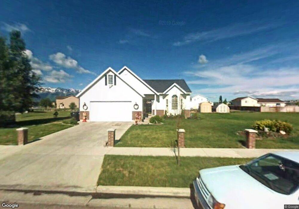
667 S 1250 W Logan, UT 84321
Woodruff NeighborhoodEstimated Value: $422,000 - $451,000
Studio
--
Bath
1,266
Sq Ft
$345/Sq Ft
Est. Value
About This Home
This home is located at 667 S 1250 W, Logan, UT 84321 and is currently estimated at $436,385, approximately $344 per square foot. 667 S 1250 W is a home with nearby schools including Woodruff School, Mount Logan Middle School, and Logan High School.
Ownership History
Date
Name
Owned For
Owner Type
Purchase Details
Closed on
Apr 25, 2024
Sold by
Alder Rex Craig and Alder Leslie
Bought by
Alder Family Trust and Alder
Current Estimated Value
Create a Home Valuation Report for This Property
The Home Valuation Report is an in-depth analysis detailing your home's value as well as a comparison with similar homes in the area
Home Values in the Area
Average Home Value in this Area
Purchase History
| Date | Buyer | Sale Price | Title Company |
|---|---|---|---|
| Alder Family Trust | -- | None Listed On Document |
Source: Public Records
Tax History
| Year | Tax Paid | Tax Assessment Tax Assessment Total Assessment is a certain percentage of the fair market value that is determined by local assessors to be the total taxable value of land and additions on the property. | Land | Improvement |
|---|---|---|---|---|
| 2025 | $1,736 | $224,510 | $0 | $0 |
| 2024 | $1,795 | $224,860 | $0 | $0 |
| 2023 | $1,863 | $222,505 | $0 | $0 |
| 2022 | $1,680 | $187,305 | $0 | $0 |
| 2021 | $1,637 | $282,045 | $48,000 | $234,045 |
| 2020 | $1,581 | $245,110 | $48,000 | $197,110 |
| 2019 | $1,653 | $245,110 | $48,000 | $197,110 |
| 2018 | $1,620 | $219,400 | $48,000 | $171,400 |
| 2017 | $1,404 | $100,540 | $0 | $0 |
| 2016 | $1,456 | $100,540 | $0 | $0 |
| 2015 | $1,193 | $82,330 | $0 | $0 |
| 2014 | $1,079 | $82,330 | $0 | $0 |
| 2013 | -- | $82,330 | $0 | $0 |
Source: Public Records
Map
Nearby Homes
- 1239 W 575 S
- 1210 W 575 S Unit 163
- 1210 W 575 S
- 1204 W 575 S
- 1214 W 575 S
- 551 S 1215 W Unit 131
- 539 S 1215 W Unit 129
- 508 S 1215 W Unit 144
- 1506 Silver Canoe Loop
- 1615 Silver Canoe Way
- 1099 Three Pointe Ave
- 1585 W Silver Canoe Way
- 370 S 1200 W Unit 2
- 539 S 1580 W Unit 121
- 552 S W Rivergate Dr
- 524 S W Rivergate Dr
- 1603 W Silver Canoe Way
- 1609 W Silver Canoe Way
- 420 S 1400 W
- 1615 W Silver Canoe Way
- 1255 W Henrys Pt Dr
- 641 S 1250 W
- 1294 Stuart Ct
- 1244 W 630 S
- 1292 Stuart Ct
- 1296 Stuart Ct
- 1307 W Henrys Pt Dr
- 627 S 1250 W Unit 63
- 627 S 1250 W
- 705 S 1250 W
- 1230 W 630 S
- 1298 Stuart Ct
- 1298 Henry's Point Dr
- 10 Stuart Ct Unit 26
- 15 Stuart Ct Unit 36
- 1295 Stuart Ct
- 603 S 1250 W
- 708 S 1250 W
- 1330 W Henry's Point Dr
- 686 S 1360 W
Your Personal Tour Guide
Ask me questions while you tour the home.