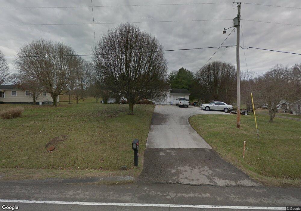
6670 E Andrew Johnson Hwy Whitesburg, TN 37891
Estimated Value: $208,343 - $260,000
--
Bed
1
Bath
1,110
Sq Ft
$203/Sq Ft
Est. Value
About This Home
This home is located at 6670 E Andrew Johnson Hwy, Whitesburg, TN 37891 and is currently estimated at $225,781, approximately $203 per square foot. 6670 E Andrew Johnson Hwy is a home located in Hamblen County with nearby schools including Russellville Elementary School, East Ridge Middle School, and Morristown East High School.
Ownership History
Date
Name
Owned For
Owner Type
Purchase Details
Closed on
Apr 21, 2023
Sold by
Dossenback Lori Diane
Bought by
State Of Tennessee
Current Estimated Value
Purchase Details
Closed on
May 7, 2021
Sold by
Russell Donna Jean and Russell Sam
Bought by
Dossenback Lori Diane and Dossenback David Allen
Home Financials for this Owner
Home Financials are based on the most recent Mortgage that was taken out on this home.
Original Mortgage
$67,171
Interest Rate
3.1%
Mortgage Type
New Conventional
Purchase Details
Closed on
Jan 21, 2003
Sold by
Tony Hopkins
Bought by
Russell Sam
Purchase Details
Closed on
Apr 27, 1963
Bought by
Skelton Doyle V and Skelton Ruby G
Create a Home Valuation Report for This Property
The Home Valuation Report is an in-depth analysis detailing your home's value as well as a comparison with similar homes in the area
Home Values in the Area
Average Home Value in this Area
Purchase History
| Date | Buyer | Sale Price | Title Company |
|---|---|---|---|
| State Of Tennessee | $158,000 | None Listed On Document | |
| Dossenback Lori Diane | $66,500 | None Available | |
| Russell Sam | $30,000 | -- | |
| Skelton Doyle V | -- | -- |
Source: Public Records
Mortgage History
| Date | Status | Borrower | Loan Amount |
|---|---|---|---|
| Previous Owner | Dossenback Lori Diane | $67,171 |
Source: Public Records
Tax History Compared to Growth
Tax History
| Year | Tax Paid | Tax Assessment Tax Assessment Total Assessment is a certain percentage of the fair market value that is determined by local assessors to be the total taxable value of land and additions on the property. | Land | Improvement |
|---|---|---|---|---|
| 2024 | $100 | -- | -- | -- |
| 2023 | $100 | $0 | $0 | $0 |
| 2022 | $400 | $20,325 | $4,500 | $15,825 |
| 2021 | $400 | $20,325 | $4,500 | $15,825 |
| 2020 | $400 | $20,325 | $4,500 | $15,825 |
| 2019 | $367 | $17,225 | $4,500 | $12,725 |
| 2018 | $367 | $17,225 | $4,500 | $12,725 |
| 2017 | $367 | $17,225 | $4,500 | $12,725 |
| 2016 | $343 | $17,225 | $4,500 | $12,725 |
| 2015 | $319 | $17,225 | $4,500 | $12,725 |
| 2014 | -- | $17,225 | $4,500 | $12,725 |
| 2013 | -- | $20,825 | $0 | $0 |
Source: Public Records
Map
Nearby Homes
- 6650 E Andrew Johnson Hwy
- 6563 E Andrew Johnson Hwy
- 6421 Old Russellville Pike
- 814 Pullen Rd
- 6284 Old Russellville Pike
- 875 Cain Mill Rd
- 1041 Wilburn Rd
- 5740 Dodson Ferry Rd
- Tbd Saint Clair Rd
- 5751 Charlene Dr
- 1650 Mullins Rd
- 00 Elijah Martin Rd
- 7812 Stagecoach Rd
- 6975 Brookdell Dr
- 1781 Mullins Rd
- 6899 Beacon Light Rd
- 505 Mary St
- 1433 Silver City Rd
- 645 Silver City Rd
- 2145 Fall Creek Rd
- 6680 E Andrew Johnson Hwy
- 6656 E Andrew Johnson Hwy
- 6690 E Andrew Johnson Hwy
- 6654 E Andrew Johnson Hwy
- 6705 Old Russellville Pike
- 6748 E Andrew Johnson Hwy
- 6658 E Andrew Johnson Hwy
- 6640 E Andrew Johnson Hwy
- 6730 E Andrew Johnson Hwy
- 127 Dennison Dr
- 251 Jaelyn Ln
- 122 Dennison Dr
- 6596 E Andrew Johnson Hwy
- 145 Dennison Dr
- 126 Dennison Dr
- 6611 Old Russellville Pike
- 132 Dennison Dr
- 136 Dennison Dr
- 6590 E Andrew Johnson Hwy
- 144 Dennison Dr