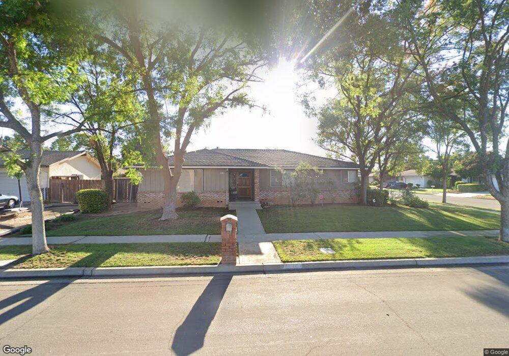
6670 N Channing Way Fresno, CA 93711
Bullard NeighborhoodEstimated Value: $460,000 - $504,000
3
Beds
3
Baths
1,928
Sq Ft
$249/Sq Ft
Est. Value
About This Home
This home is located at 6670 N Channing Way, Fresno, CA 93711 and is currently estimated at $479,668, approximately $248 per square foot. 6670 N Channing Way is a home located in Fresno County with nearby schools including Starr Elementary School, Tenaya Middle School, and Bullard High School.
Ownership History
Date
Name
Owned For
Owner Type
Purchase Details
Closed on
Jan 17, 1997
Sold by
Sheldon Johnston Leo and Sheldon Kevin S
Bought by
Loftis Darlene E
Current Estimated Value
Home Financials for this Owner
Home Financials are based on the most recent Mortgage that was taken out on this home.
Original Mortgage
$121,600
Interest Rate
7.74%
Create a Home Valuation Report for This Property
The Home Valuation Report is an in-depth analysis detailing your home's value as well as a comparison with similar homes in the area
Home Values in the Area
Average Home Value in this Area
Purchase History
| Date | Buyer | Sale Price | Title Company |
|---|---|---|---|
| Loftis Darlene E | $128,000 | Stewart Title |
Source: Public Records
Mortgage History
| Date | Status | Borrower | Loan Amount |
|---|---|---|---|
| Previous Owner | Loftis Darlene E | $121,600 |
Source: Public Records
Tax History Compared to Growth
Tax History
| Year | Tax Paid | Tax Assessment Tax Assessment Total Assessment is a certain percentage of the fair market value that is determined by local assessors to be the total taxable value of land and additions on the property. | Land | Improvement |
|---|---|---|---|---|
| 2025 | $2,615 | $208,440 | $56,986 | $151,454 |
| 2023 | $2,615 | $200,348 | $54,774 | $145,574 |
| 2022 | $2,617 | $196,420 | $53,700 | $142,720 |
| 2021 | $2,548 | $192,570 | $52,648 | $139,922 |
| 2020 | $2,450 | $190,597 | $52,109 | $138,488 |
| 2019 | $2,706 | $186,861 | $51,088 | $135,773 |
| 2018 | $2,393 | $183,198 | $50,087 | $133,111 |
| 2017 | $2,615 | $179,606 | $49,105 | $130,501 |
| 2016 | $2,446 | $176,086 | $48,143 | $127,943 |
| 2015 | $2,242 | $173,442 | $47,420 | $126,022 |
| 2014 | $2,185 | $170,046 | $46,492 | $123,554 |
Source: Public Records
Map
Nearby Homes
- 6671 N Channing Way
- 6753 N Durant Ave
- 6569 N Teilman Ave
- 7047 N Teilman Ave Unit 101
- 7047 N Teilman Ave Unit 102
- 6743 N Dolores Ave
- 6518 N Dolores Ave
- 2246 W Palo Alto Ave
- 6670 N Sequoia Ave
- 2284 W Palo Alto Ave
- 7258 N Channing Way
- 6660 N St Catherine Ct
- 2290 W Atlanta Ave
- 1654 W Vartikian Ave
- 6447 N Vagedes Ave
- 7166 N Fruit Ave Unit 160
- 7166 N Fruit Ave Unit 132
- 7166 N Fruit Ave Unit 133
- 7178 N Fruit Ave Unit 108
- 7166 N Fruit Ave Unit 127
- 1666 W Magill Ave
- 6692 N Channing Way
- 1671 W Warner Ave
- 1685 W Magill Ave
- 1658 W Magill Ave
- 1693 W Magill Ave
- 1673 W Magill Ave
- 6698 N Channing Way
- 6687 N Channing Way
- 1707 W Magill Ave
- 1667 W Magill Ave
- 6695 N Channing Way
- 1646 W Magill Ave
- 1665 W Warner Ave
- 1715 W Magill Ave
- 1655 W Magill Ave
- 1692 W Fremont Ave
- 1684 W Fremont Ave
- 1706 W Fremont Ave
- 1723 W Magill Ave